The Apache Trail is steeped in history and beauty and is arguably the most scenic drive in Arizona. However, not many people have heard of this drive and it still remains a bit of a hidden gem. Keep reading to discover the best stops on the Apache Trail scenic drive!
*Disclaimer: This post contains affiliate links. If you make a purchase through a link we will receive a small commission at no extra cost to you. Thank you for your support!
The Best Stops on the Apache Trail Scenic Drive
Table of Contents
- History of the Apache Trail
- Goldfield Ghost Town
- Lost Dutchman State Park
- Canyon Lake Vista
- Canyon Lake
- Tortilla Flat
- Fish Creek Vista
- Apache Lake
- Reavis Falls
- Roosevelt Lake
- Driving Back Through Globe
History of the Apache Trail
In 1903, a 64-mile wagon road was constructed from Mesa to the site of the current Roosevelt Dam. It followed along the footpath of an old Apache trade route that traveresed through the rough terrain of the Superstition Mountains.
The Mesa-Roosevelt Road was a huge undertaking with much of the construction being done by hand using pick axes, shovels, and dynamite.
The purpose of the road was to allow easier access for the construction of the Roosevelt Dam. However, the 42-mile portion of the road from Apache Junction to Roosevelt Lake (State Route 88) quickly gained the reputation for being one of the most scenic drives in the Southwest.
In 1913, the Arizona Good Roads Association tour book described the drive as “one of the best and most delightful scenic routes in the whole of the mountain regions in the United States”.
Theodore Roosevelt was even quoted as saying, “The Apache Trail combines the grandeur of the Alps, the glory of the Rockies, the magnificence of the Grand Canyon, and then adds the indefinable something that none of the others have. To me, it is the most beautiful panorama nature has created”.
In 1915, the Pacific Railroad Company began promoting the road as a tourist attraction and coined the name, “The Apache Trail”. Tour companies even started selling tickets for scenic automobile tours along this road.
In 1988, the Apache Trail was designated as the first “Historic and Scenic Highway” in Arizona and it is still one of the most beautiful drives in the state today!
Goldfield Ghost Town
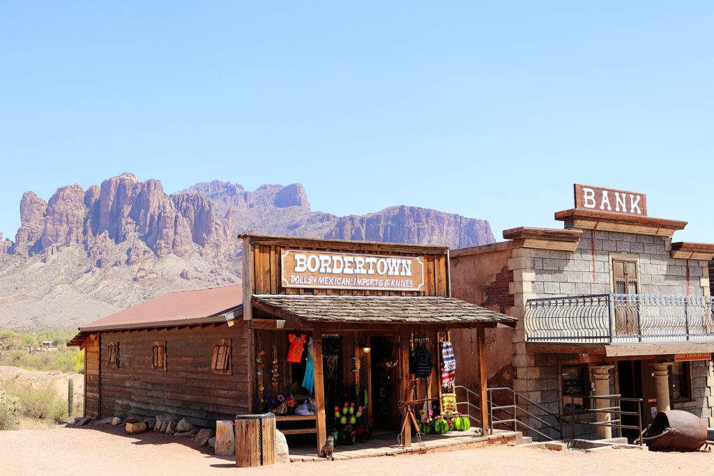
As you head out of the small town of Apache Junction, the first stop you’ll come to is Goldfield Ghost Town.
Gold was first discovered in the Superstition Mountains in the late 1800s, and mining towns began popping up soon after.
Goldfield was one of the largest mining towns in the area, but after 5 years the mine veins faulted and this boomtown was abandoned almost as quickly as it was built.
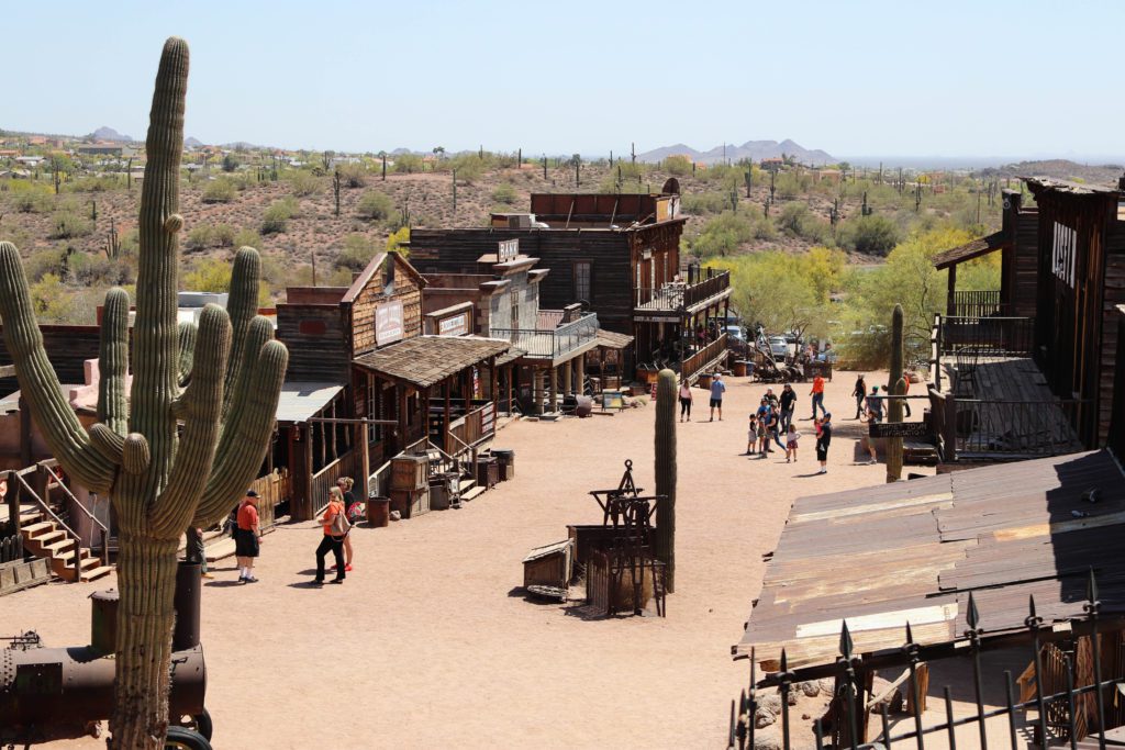
Today, the town has been reconstructed as a tourist attraction. The buildings aren’t original but have been built to look as the town once did during its heyday.
Visitors can tour the mine, grab a bite to eat at the saloon, ride on the narrow gauge railroad, watch a gunfight, go on a short zipline, and explore the dusty streets of this old Wild West town.
Lost Dutchman State Park
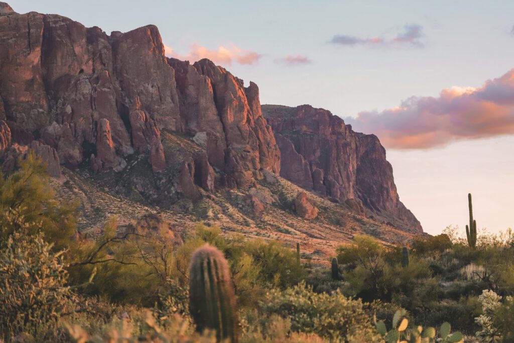
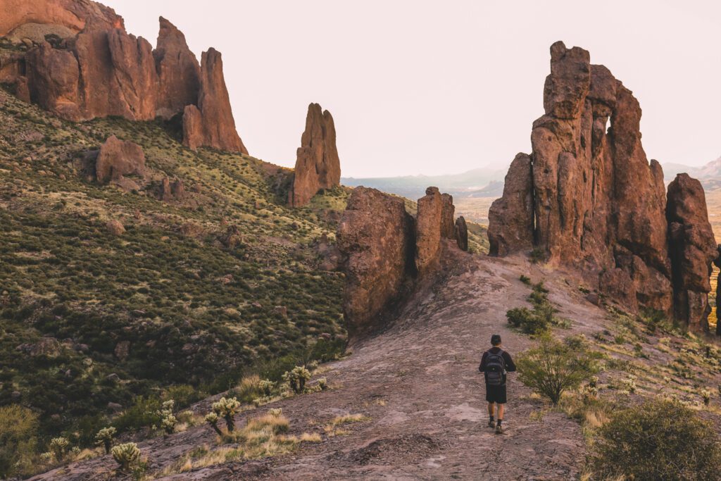
The Lost Dutchman State Park is one of the most scenic state parks in Arizona and is located just across the road from Goldfield Ghost Town. It is home to the craggy Superstition Mountain Range which holds immense beauty and mystery.
According to the legend of the Lost Dutchman, the Peralta family from Northern Mexico had discovered a gold mine in the Superstition Mountains. The family was ambushed by the Apaches and all but one or two family members were killed.
For years, many gold-seekers attempted but failed to locate the mine. With the help of a descendant of the Peralta family, Jacob Waltz “The Dutchman” finally found the mine and began working it with his business partner. They stored caches of gold in the mountains before his partner was mysteriously killed.
Waltz almost took the location of the mine and the hidden gold to his grave, but he revealed the whereabouts to a neighbor while on his deathbed in 1891. Despite countless attempts to find the gold, its location remains a mystery to this day.
Visitors can stop by the Superstition Mountain Museum to learn more about the history of the area including its Native American roots, early Western settlers, gold mining history, and even the role it played in the movie industry.
The museum is small, but you can find a few displays and exhibits, including reconstructed buildings, a petting zoo, a large-scale model train, and burro rides.
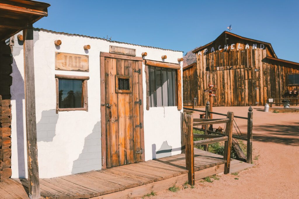
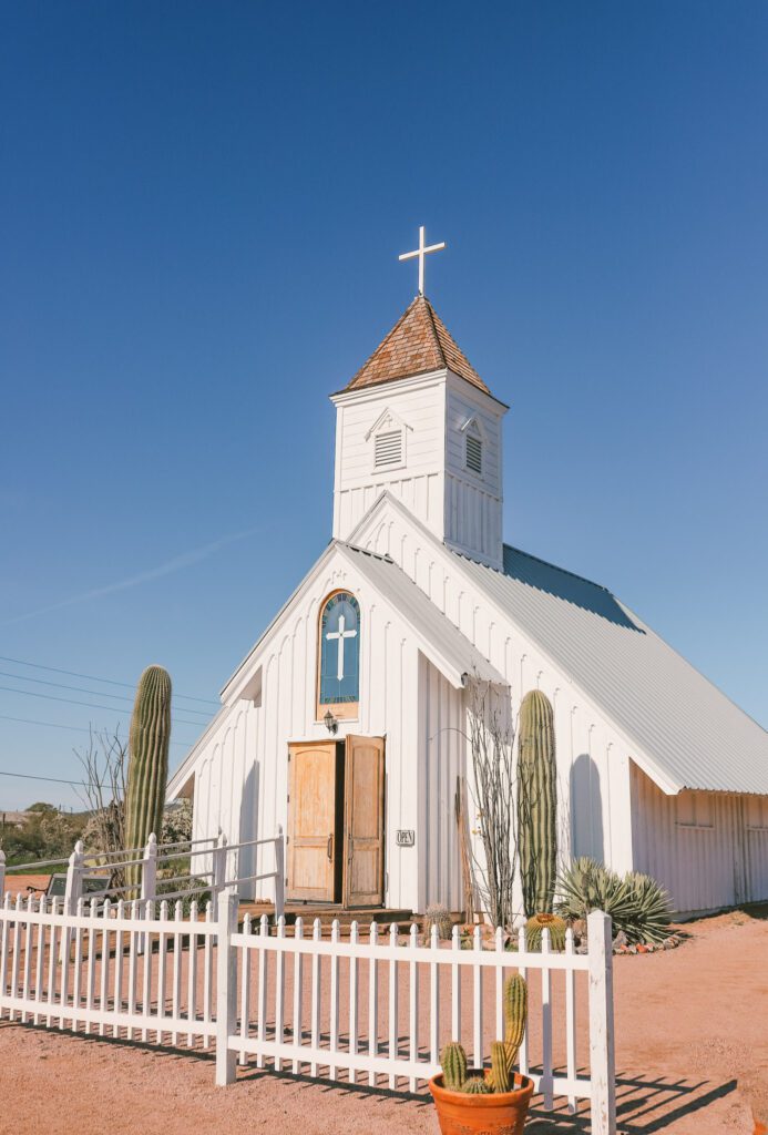
One of the highlights is the “Elvis Chapel”. It was once part of the Apacheland Movie Ranch and was used on the set of the 1969 movie, Charro starring Elvis Presley.
The Superstition Mountains also boast some of the most scenic hiking trails in Arizona.
A few of our favorites include Flatiron, Massacre Falls, and Canyon of the Waterfalls. See our guide 11 of the Best Hikes in Phoenix for more details and recommendations.
Canyon Lake Vista
As you continue driving, the road becomes more scenic as you wind your way up the mountain toward Canyon Lake. Keep your eyes open for bighorn sheep that can often be seen climbing along the rocks.
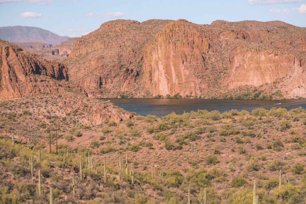
Make a quick stop at Canyon Lake Vista where you’ll get a great view of Canyon Lake from above.
You’ll also find informational panels detailing the history and construction of the Apache Trail scenic route.
Canyon Lake
Canyon Lake is one of Arizona’s most beautiful lakes with towering canyon walls and a ribbon of water winding through the gorge.
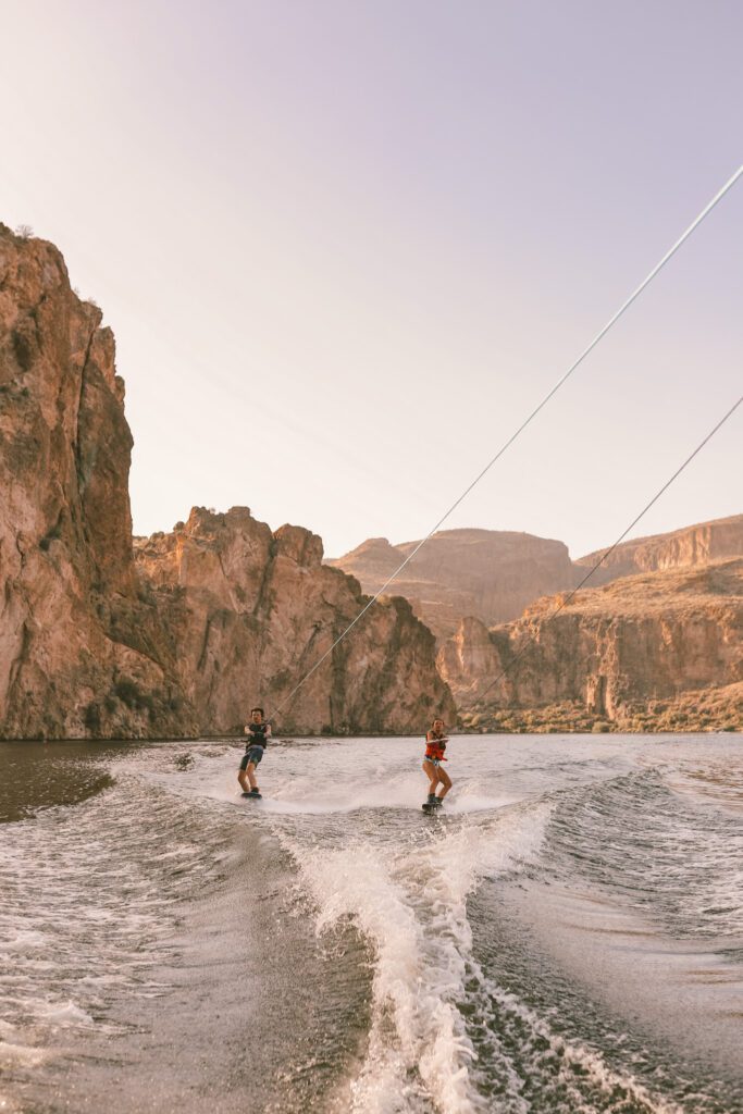
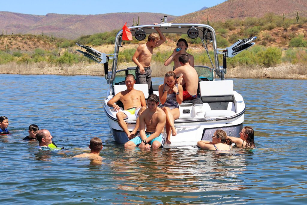
This is also a popular lake for recreational activities. Visitors can swim at the beach, kayak, take a scenic boat cruise on the Dolly Steamboat, or rent a boat at the Canyon Lake Marina or through Boatsetter.
There is also a campground and numerous hiking trails around the lake.
Canyon Lake is part of a chain of lakes formed by the Salt River Project. The Salt River flows into Roosevelt Lake and then continues through the canyon where dams have been built to create Apache Lake, Canyon Lake, and Saguaro Lake.
Canyon Lake and Saguaro Lake are the two most popular recreational lakes in the Valley. See our Saguaro Lake Guide for more information and recommended activities.
Tortilla Flat
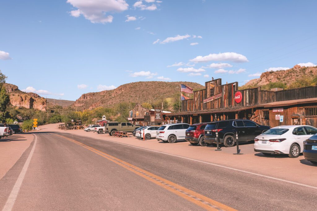
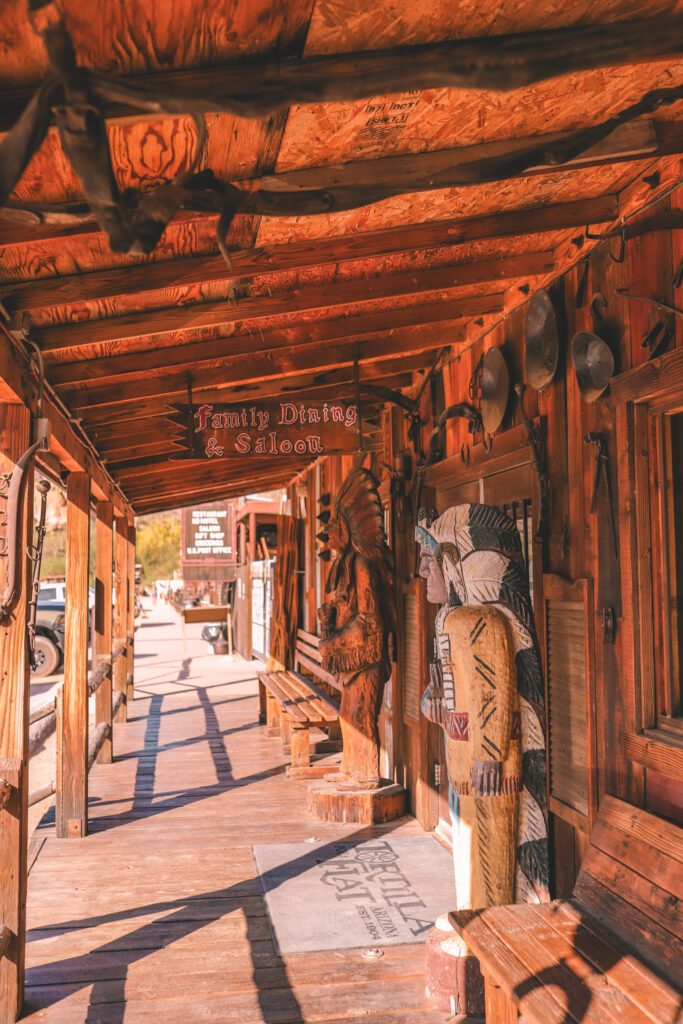
A few miles past Canyon Lake, you’ll come to Tortilla Flat. Seven stagecoach stops were constructed along the Apache Trail, and Tortilla Flat is the oldest and only operating stagecoach town that still exists in Arizona.
Tortilla Flat is also the smallest town in Arizona with a current population of 6. It even has its own post office and voter’s precinct. This one-road town also has a saloon, a general store, and a schoolhouse museum.
The town was established in 1906, but unfortunately, many of the original structures were burned down during a devastating fire in 1987.
The saloon was one of the buildings destroyed in the fire but it was rebuilt a year later. You can still find the same saddle seats at the bar, and the interior is still wallpapered with dollar bills and currency from around the world. It is amazing to see how many visitors from around the globe have come to this tiny town!
After your meal, stop by the Country Store to get a scoop of ice cream and pick up some homemade fudge for the road.
Then head to the general store to shop for Western-themed souvenirs before stopping in to check out the schoolhouse museum.
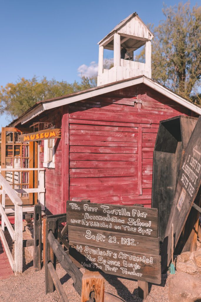
The tiny one-room Tortilla Flat Schoolhouse was established in 1932 and had 14 students. The schoolhouse has been rebuilt in its original location and now serves as a museum.
The inside of the schoolhouse is lined with photos, newspaper articles, historical documents, and personal stories from the people who lived here. It’s fascinating to catch a glimpse of what life was like living in such a small desert town!
Fish Creek Vista
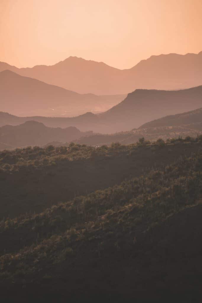
The drive starts getting even more scenic as you continue past Tortilla Flat. There are a few lookout points where you can pull over to take in the sweeping views. You’ll be able to see across the valley to a horizon layered with hills and mountains.
After a few miles, the paved road turns into a dirt road and remains a dirt road until reaching Roosevelt Lake. The road is well-graded at this point and the Fish Creek Vista is accessible by all vehicles.
The Fish Creek Vista is one of our favorite stops on the Apache Trail and is one of Arizona’s hidden gems.
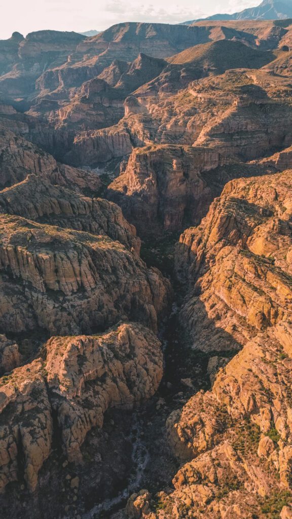
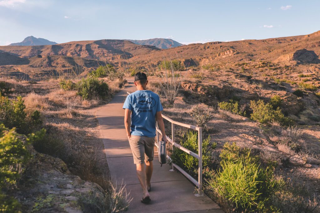
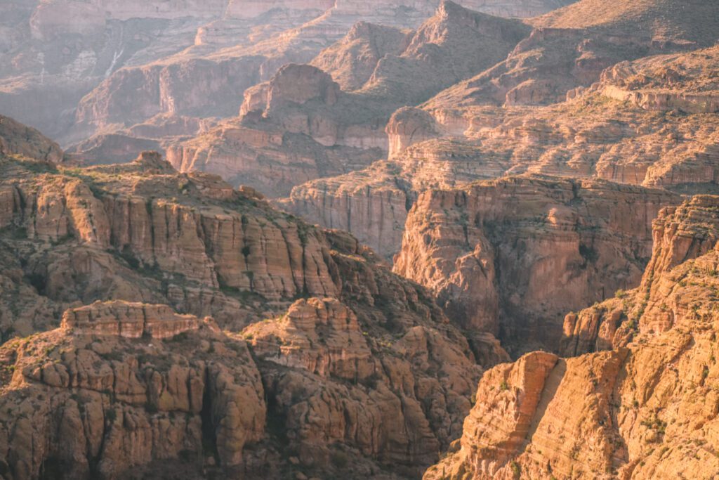
From the parking lot, take a short paved trail to a viewing deck where you’ll be spoiled with panoramic views of the stunning Fish Creek Canyon.
You’ll find layers of folded canyon walls for as far as the eye can see, it’s a miniature version of the Grand Canyon!
We have lived in Arizona for over 20 years and I am shocked that I am just now learning about this beautiful spot! I would recommend coming to the lookout during golden hour and sunset for the most breathtaking views.
The overlook is located about 7 miles after Tortilla Flat. There are restrooms located at the parking lot.
Apache Lake
In 2019, the Woodbury Fire and subsequent flooding washed out about 5 miles of road just after the Fish Creek Vista. It finally reopened in September 2024 after an extensive and expensive recovery effort to make the road conditions safe again.
Now that the road has reopened, travelers can continue along the Apache Trail to reach Apache Lake. This portion of the drive offers beautiful views, but you’ll also find a narrow dirt road with hairpin turns and steep drop-offs.
A high-clearance 4WD vehicle is necessary and you can not tow a camper or trailer along this portion of the road.
Apache Lake isn’t nearly as crowded as the other neighboring lakes and is a great place to enjoy a quiet weekend away from the crowds.
Apache Lake Marina & Resort offers lodging, a restaurant, and boat & watersport rentals. The accommodations are basic and calling it a “resort” may be a bit of a stretch, but it still makes for a fun weekend getaway!
Reavis Falls
The Reavis Falls Trail is a beautiful hiking trail located between Apache Lake and Roosevelt Lake.
The strenuous 12.8-mile out-and-back hike has an elevation gain of 3,316 feet. The trail is exposed with little shade and you’ll need to do some bushwhacking in areas where the trail isn’t clearly marked.
However, the nearly 200-foot seasonal waterfall will make the effort worth it! The best time to visit is in the early spring. Check AllTrails for current trail conditions and to see if the water is flowing.
Roosevelt Lake
Theodore Roosevelt Lake is the largest lake in Arizona, aside from Lake Powell that is shared with the state of Utah.
The nearly 34-square-mile lake is also the third largest man-made lake in the world, with Lake Powell being the largest and Lake Mead the second largest.
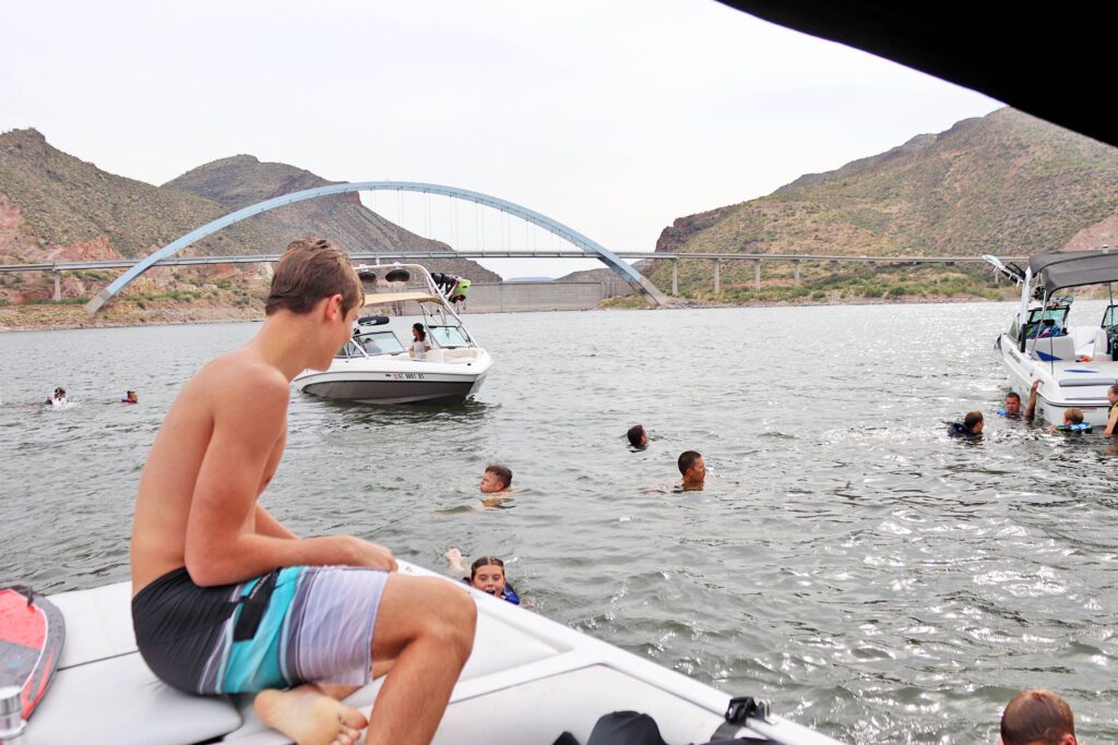
From 1905-1911 the Roosevelt Dam was constructed to create this massive man-made reservoir. The Apache Trail drives right by the dam, but you can also get a good view of it as you drive over or boat up to the Theodore Roosevelt Bridge.
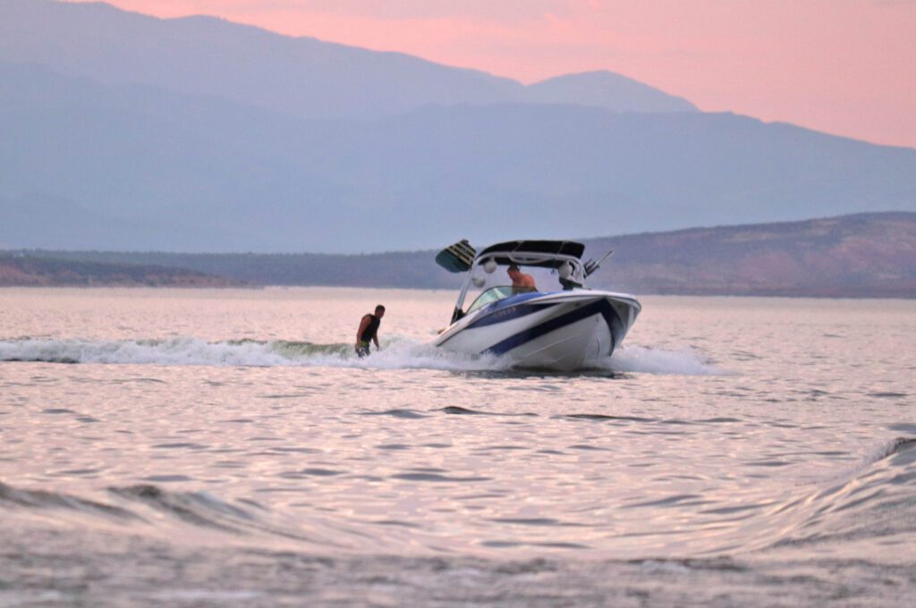
The best way to experience Roosevelt Lake is by boat, you can rent one at the Marina or through Boatsetter. It is one of our favorite lakes to boat on because there is so much space that it never feels crowded, even on a holiday weekend.
There are limited amenities at Roosevelt Lake, and the nearest town is Globe about 40 miles away so plan accordingly.
The Roosevelt Marina has a restaurant (Ffinch’s Waterfront Restaurant) and a small marine store. The Dam Grill & Chill and The Stagecoach Bar & Grill are the only other food options near the lake.
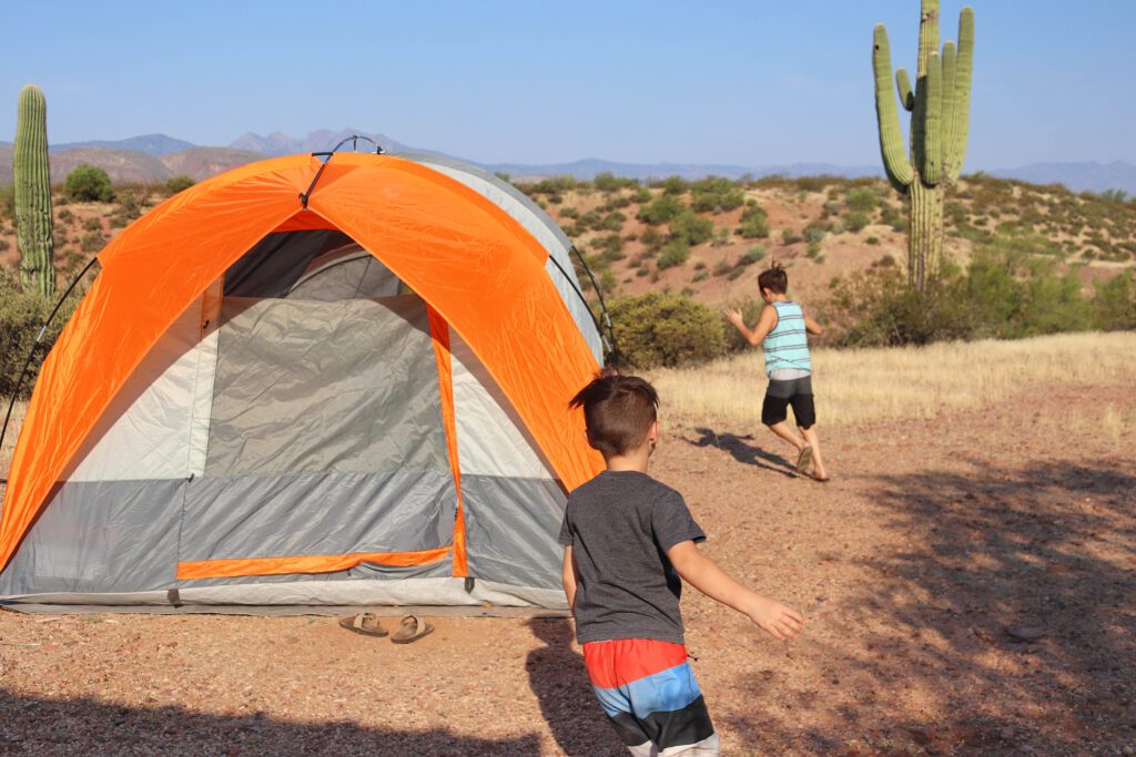
As for accommodations, there are a handful of vacation rentals but if you plan to spend the night, I recommend camping. We like to camp at Windy Hill Recreation Area. The campsites are well-maintained and it has easy access to the main boat ramp.
Driving Back Through Globe
The Apache Trail ends at Roosevelt Lake. From here, you can either turn around and drive back along the Apache Trail or make it a loop drive and go back to the Valley through Globe. I recommend driving back through Globe as there is still so much to see!
Tonto National Monument
Tonto National Monument is located near Roosevelt Lake where visitors have the chance to view Salado-style cliff dwellings.
The visitor center and Lower Cliff Dwelling are open to visitors during select hours. The Upper Cliff Dwelling can only be visited while on a guided tour. See the National Park Service website for visitor information.
See our guide, 5 of the Most Accessible Indian Ruins in Arizona for more recommendations.
Salome Jug Trail
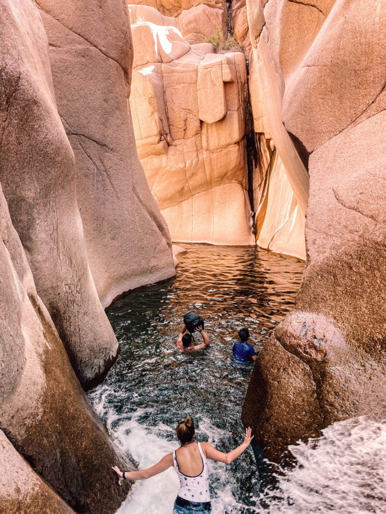
If you are feeling adventurous and have extra time, I highly recommend the Salome Jug Trail which leads to a mile-long natural waterpark filled with rock slides and pools.
The trail is located northeast of Roosevelt Lake and can be reached by a dirt road. There are certain things you need to know before attempting this hike, see our Salome Jug Guide for more details and information.
Globe
There is not much to see in the small town of Globe, but I recommend stopping and grabbing a bite to eat at Nurdberger. It’s a funky spot known for having the best burgers around!
Cibecue Falls
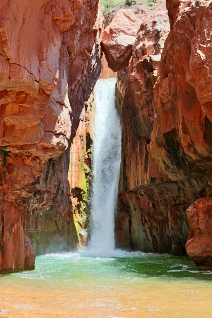
If you have time, Cibecue Falls is an incredible waterfall hike about one hour northeast of Globe.
You’ll need to secure a permit before your hike, but the 4-mile out-and-back trail leads to a gorgeous waterfall that reminds us of a mini Havasu Falls.
Boyce Thompson Arboretum
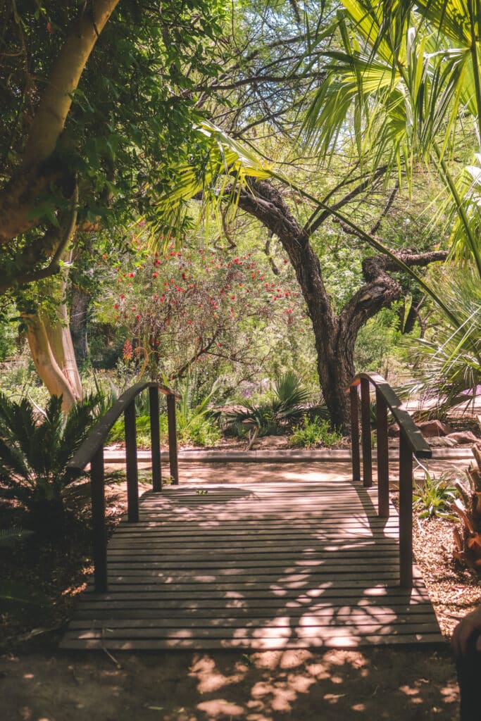
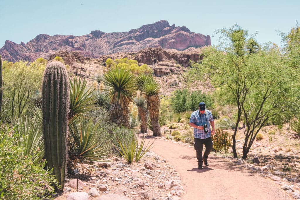
Boyce Thompson Arboretum is a beautiful oasis hidden in the middle of the Sonoran Desert. The 135-acre botanical garden was founded in 1924 and is the largest and oldest botanical garden in Arizona.
You’ll find 5 miles of trails that lead through desert plants originating from 13 different countries and regions around the world. It’s a great place to bring out-of-town guests, my parents and grandparents especially enjoy coming here.
Different events are held throughout the year, like walking tours and stargazing. Boyce Thompson Arboretum is also one of the best places to see fall leaves in Arizona. Since it is at a lower elevation, the fall leaves tend to peak in color around the end of November and the beginning of December.
Gold Canyon
Gold Canyon is located on the other side of the Superstition Mountains opposite of the Lost Dutchman State Park.
It offers equally impressive hiking trails, including the Hieroglyphic Trail, Wave Cave, and the Peralta Trail to Weevers Needle.
FAQ:
- How long is the Apache Trail: The scenic drive is approximately 42 miles long.
- Where does the Apache Trail start and end: The Apache Trail starts at Apache Junction and ends at the Roosevelt Lake Dam.
- Do you need 4WD to drive the Apache Trail: The Apache Trail is paved until just after Tortilla Flat. The road is well-graded and passable by all cars up until Fish Creek Vista. The road becomes more rough after this point and a high-clearance 4WD vehicle is needed.
- Is the Apache Trail open: The Apache Trail is currently closed between the Fish Creek Vista and Apache Lake due to flooding in 2019 that wiped out 5 miles of road. The road is projected to open at the end of 2024, but check the AZDOT website for updates.
- Is the Apache Trail worth it: Driving the Apache Trail is one of the most underrated things to do in Arizona! The drive will take you through some of the most stunning scenery in the state and it is best experienced during golden hour and sunset.
I hope this guide will help you discover the best stops along the Apache Trail scenic drive!
CLICK THE BUTTON TO DOWNLOAD AND PRINT THIS GUIDE:
Pin it for later:



Leave a Reply