With mild weather much of the year, Phoenix is the perfect destination for hiking. The Phoenix Valley is filled with a variety of urban and desert trails that cater to all skill levels. Keep reading to discover 11 of the best hikes in Phoenix, Arizona!
*Disclaimer: This post contains affiliate links. If you purchase a product or make a booking through the provided links then we receive a small commission at no extra cost to you. We really appreciate your support!
11 of the Best hikes in Phoenix
Table of Contents
- Piestewa Peak Summit Trail
- Butcher Jones Trail
- Hieroglyphic Trail
- Hidden Valley via Mormon Trail
- Canyon of the Waterfalls
- Massacre Falls Trail
- The Wave Cave
- Camelback Mountain
- Flatiron via Siphon Draw Trail
- Treasure Loop Trail
- Goldmine Trail
Piestewa Peak Summit Trail
- Location: Phoenix Mountains Preserve, 2325 E Gardenia Dr, Phoenix
- Distance: 2.4 miles roundtrip
- Difficulty: Hard
- Amenities: Restrooms, water station, and trash receptacles
- Fee: No
- Hours: 5 am to 7 pm
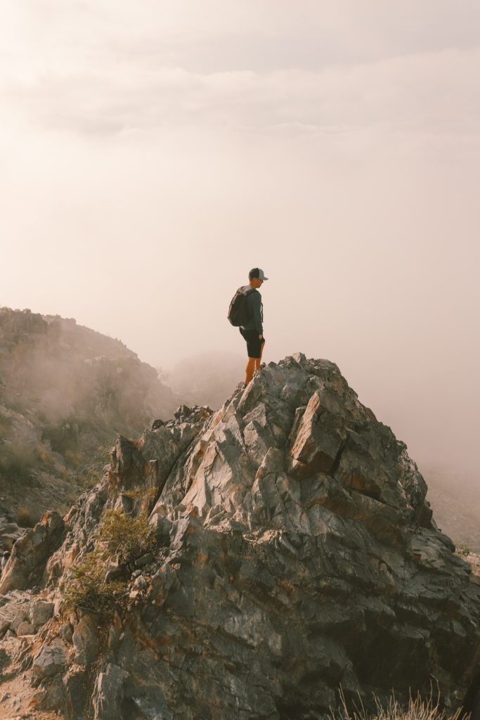
The Piestewa Peak Summit Trail is rated as the #1 hike in Phoenix by AllTrails.
Even though the hike is short, it really packs a punch.
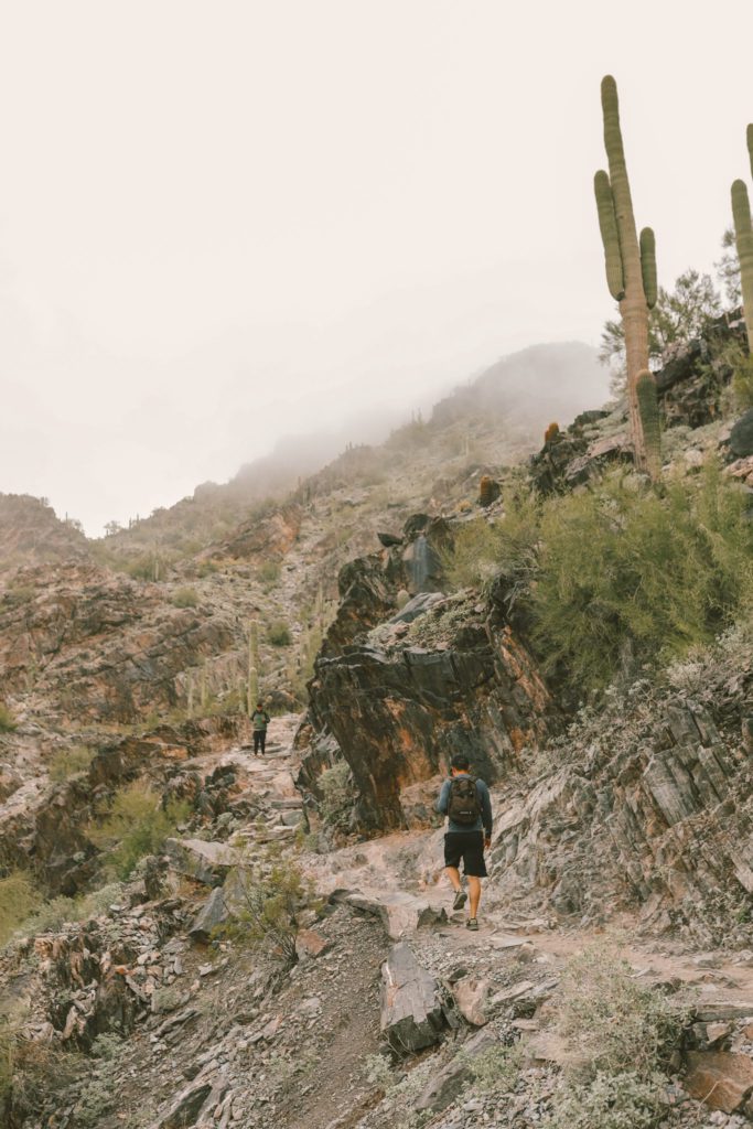
The trail is all uphill from the very beginning. You’ll experience an elevation gain of 1,148 ft over the 1.2 miles to the peak.
There are natural stairs along much of the trail, so it really is like the ultimate Stairmaster workout.
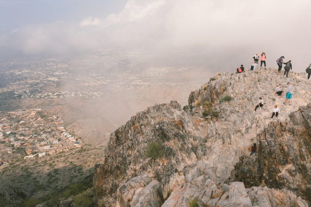
The last quarter-mile is the steepest portion and you’ll need to do a little bit of rock scrambling to get to the top. As with all challenging hikes, it is totally worth the effort!
For more information and details, see our guide to Hiking Piestewa Peak.
Butcher Jones Trail
- Location: Saguaro Lake, Mesa
- Distance: 5.8 miles roundtrip
- Difficulty: Easy to Moderate
- Amenities: Restrooms and trash receptacles
- Fee: $8 Tonto Day Pass required
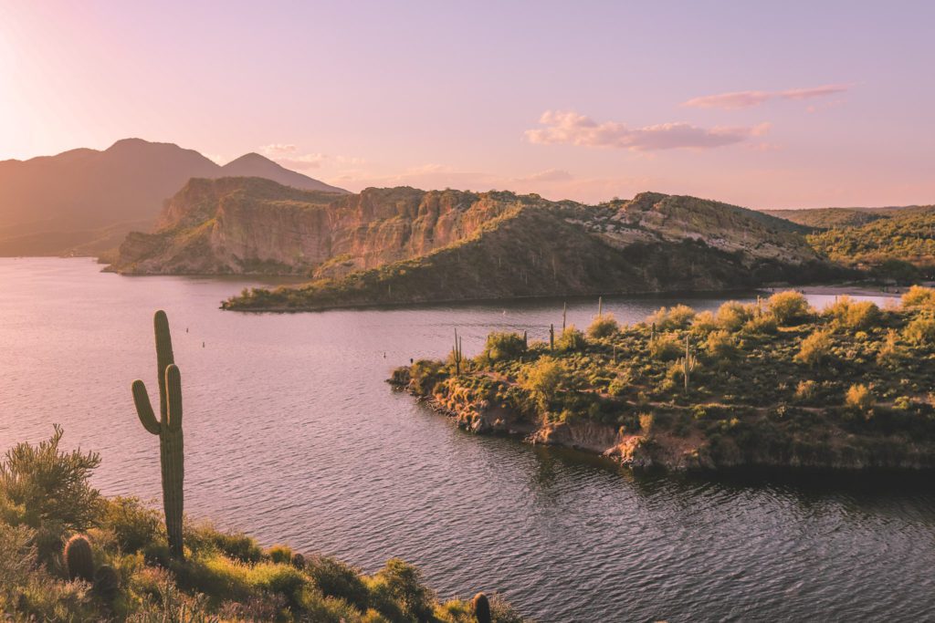
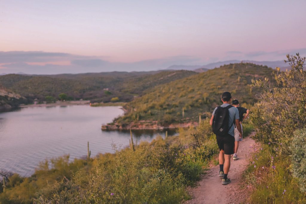
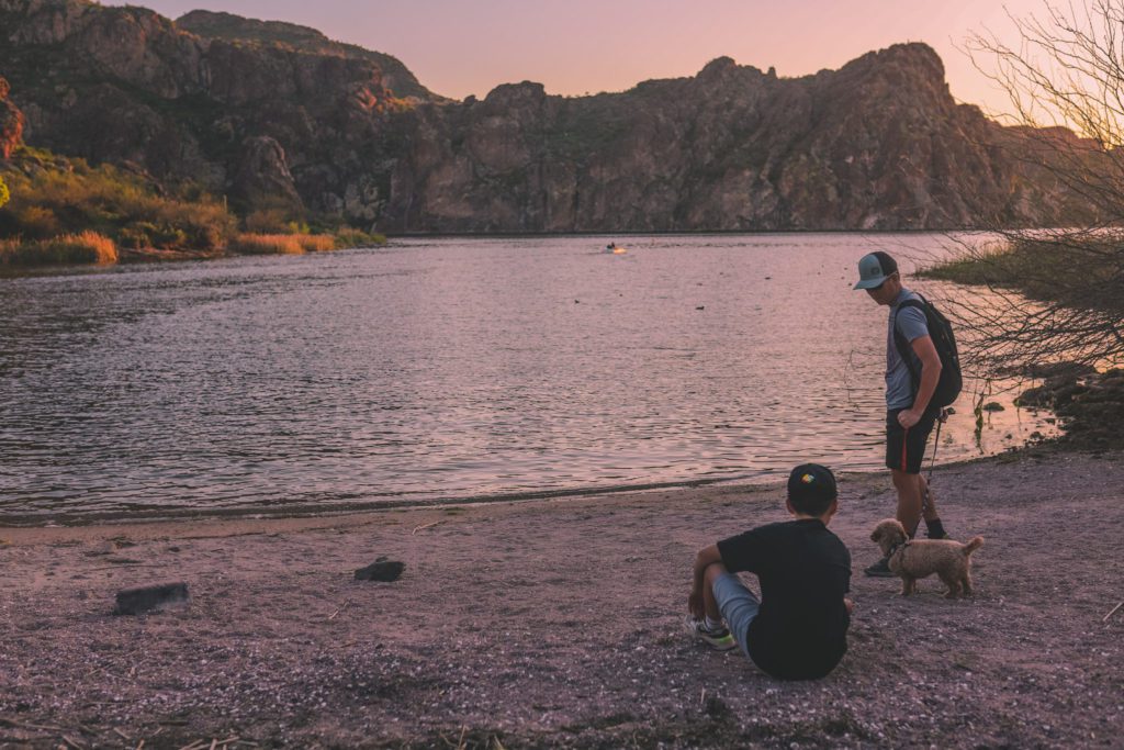
The Butcher Jones Trail is a fairly easy kid-friendly and dog-friendly trail. It is one of the best hikes in Phoenix because it doesn’t require a lot of effort, but the pay-off is huge.
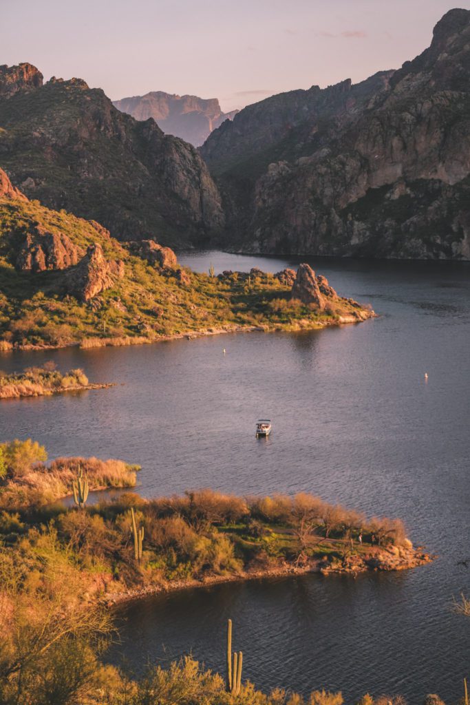
The trail starts at Butcher Jones Beach and follows along the northeast shore of Saguaro Lake.
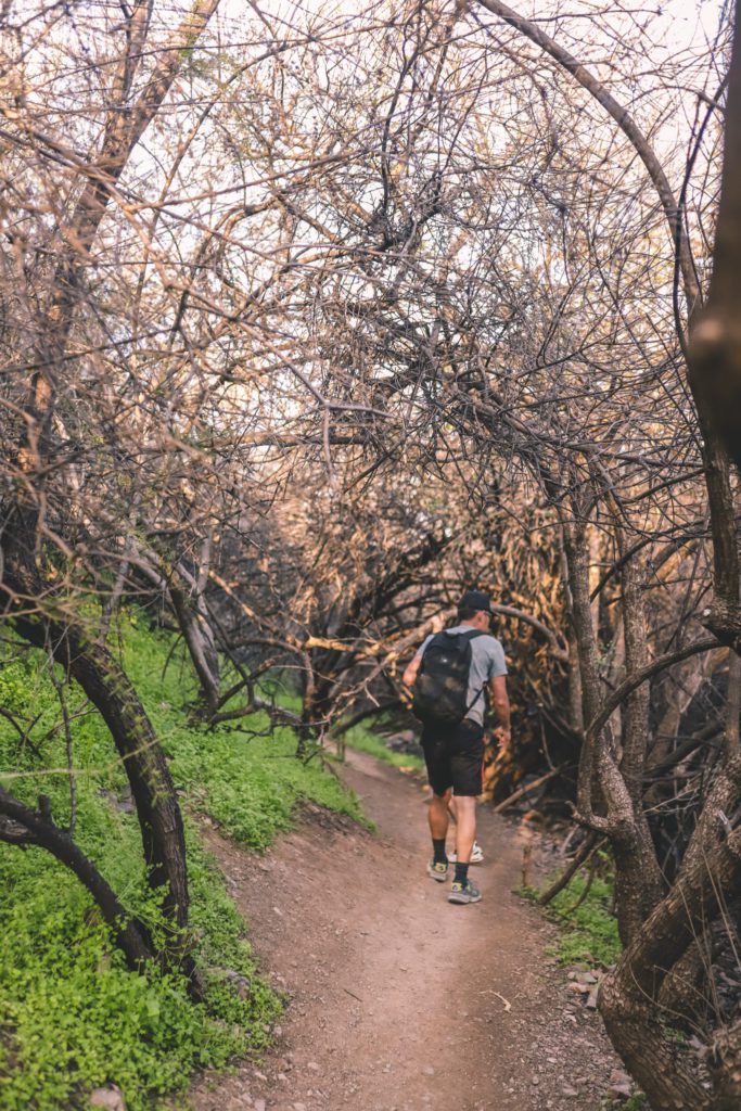
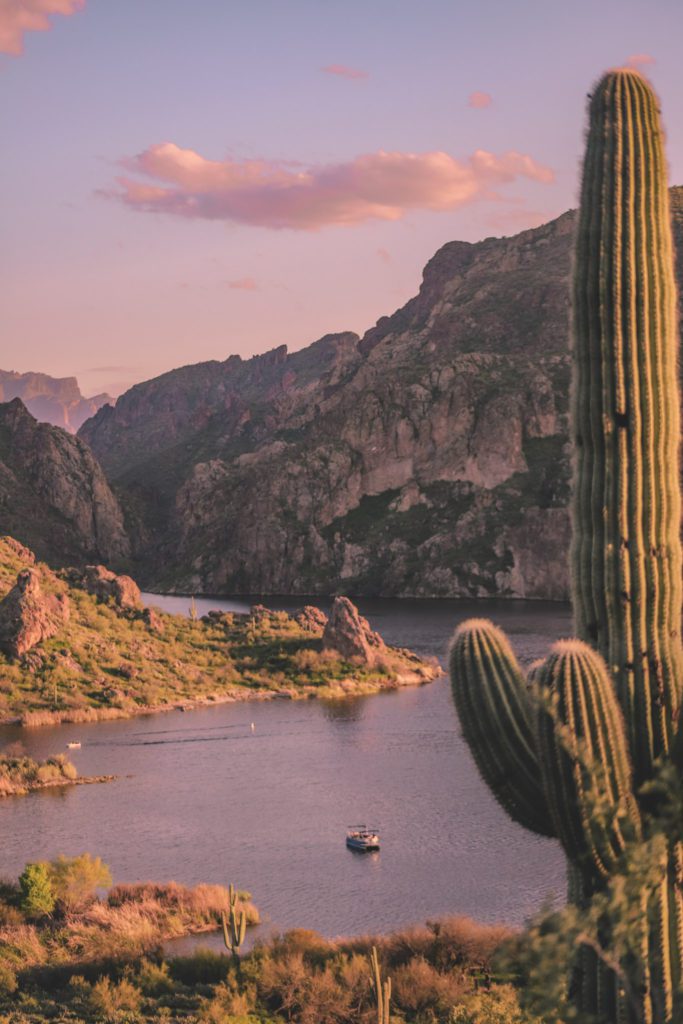
This trail has a little bit of everything. It starts out at the sandy beach, leads through a cool tree tunnel, and follows along the cliffs with towering saguaros and dramatic views of the lake.
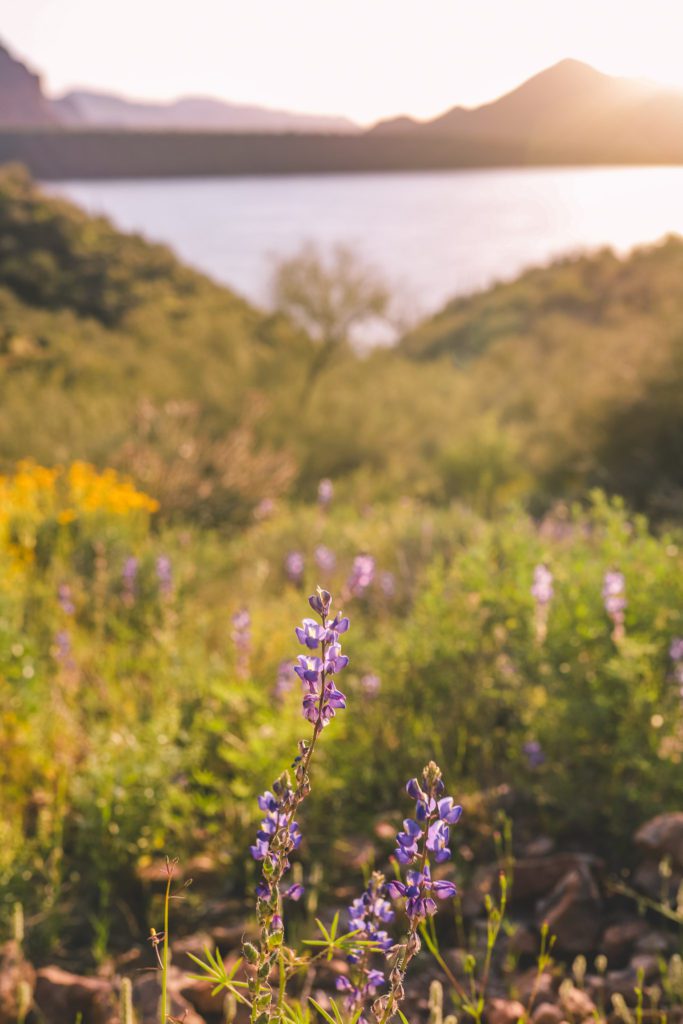
Spring is the best time to hike this trail as you’ll have the added bonus of wildflowers carpeting the landscape.
I would also highly recommend visiting in the evening. The trail will be less crowded and the views are absolutely stunning at golden hour and sunset.
The entire trail is a bit long at 5.8 miles out and back.
However, you’ll come to a beautiful overlook about 1.4 miles down the trail and it’s arguably the best part of the trail.
If you don’t have the time or energy to complete the entire trail, I would recommend at least going to this viewpoint and then turning back.
Honestly, the whole trail is very scenic, there isn’t a bad view the entire way.
If you continue a little further, you can take a spur trail to another little beach cove that is usually only accessed by boat.
Hieroglyphic Trail
Hieroglyphic Trail information:
- Location: 4467 S Kings Ranch Rd, Gold Canyon
- Distance: 2.8 miles roundtrip
- Difficulty: Moderate
- Amenities: Portable toilets
- Fee: No
The Hieroglyphic Trail is located within the mystical Superstition Wilderness.
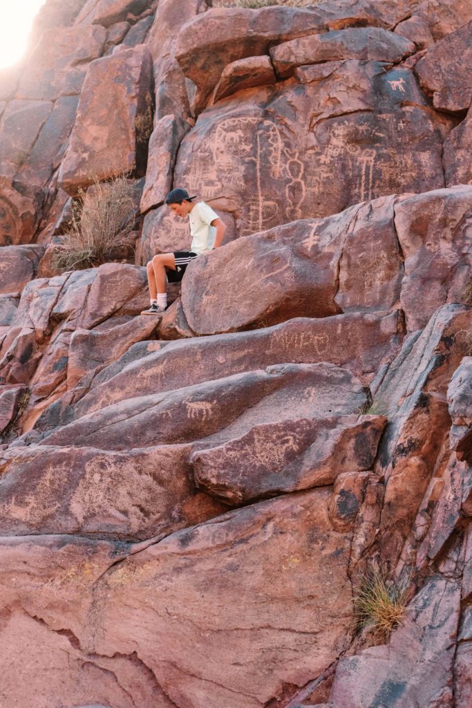
The trail leads to a gentle waterfall with a pool to splash in and is perfect for kids. There is also a small cave at the top and a wall of rocks covered in hieroglyphics.
The trail has a fairly gradual elevation gain, with some loose rocks and a little bit of rock climbing towards the end.
The surrounding wilderness is dotted with saguaro cacti and native plants. It is especially beautiful in the spring when the desert is in full bloom.
Be sure to check out our guide to the Hieroglyphic Trail for all the details.
Hidden Valley via Mormon Trail
- Location: South Mountain Park 8610 S 24th St, Phoenix
- Distance: 3.4 miles roundtrip
- Difficulty: Moderate
- Amenities: No restrooms or water fountains at the trailhead
- Fee: No
The Hidden Valley via Mormon Trail at South Mountain is one of the best urban hikes in Phoenix. It features stunning views of the Phoenix skyline set against the desert landscape.
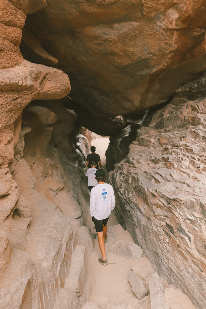
Once you reach Hidden Valley, you’ll take a 0.5-mile loop trail that leads through the infamous Fat Man’s Pass and the natural Hidden Tunnel.
There is also a natural rock slide, towering Saguaros, diverse wildlife, and plenty of rocks to climb and crevices to explore.
For more information about this trail, check out our guide Hidden Valley via Mormon Trail hiking guide.
Canyon of the Waterfalls
- Location: Superstition Wilderness Area
- Distance: 4.7 miles roundtrip
- Difficulty: Moderate
- Amenities: Pit toilets
- Fee: No
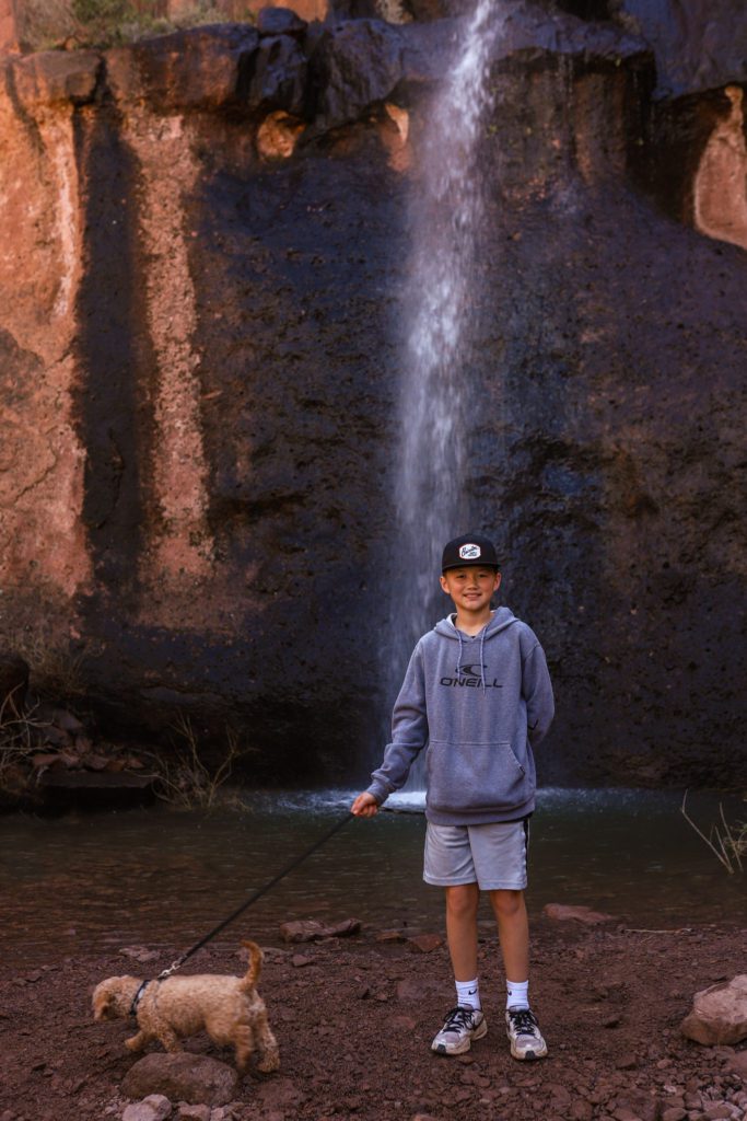
The Canyon of the Waterfalls Trail leads to a seasonal waterfall within the stunning Superstition Mountain Range.
The first 1.5 miles is relatively flat and the trail is well-marked and easy to follow.
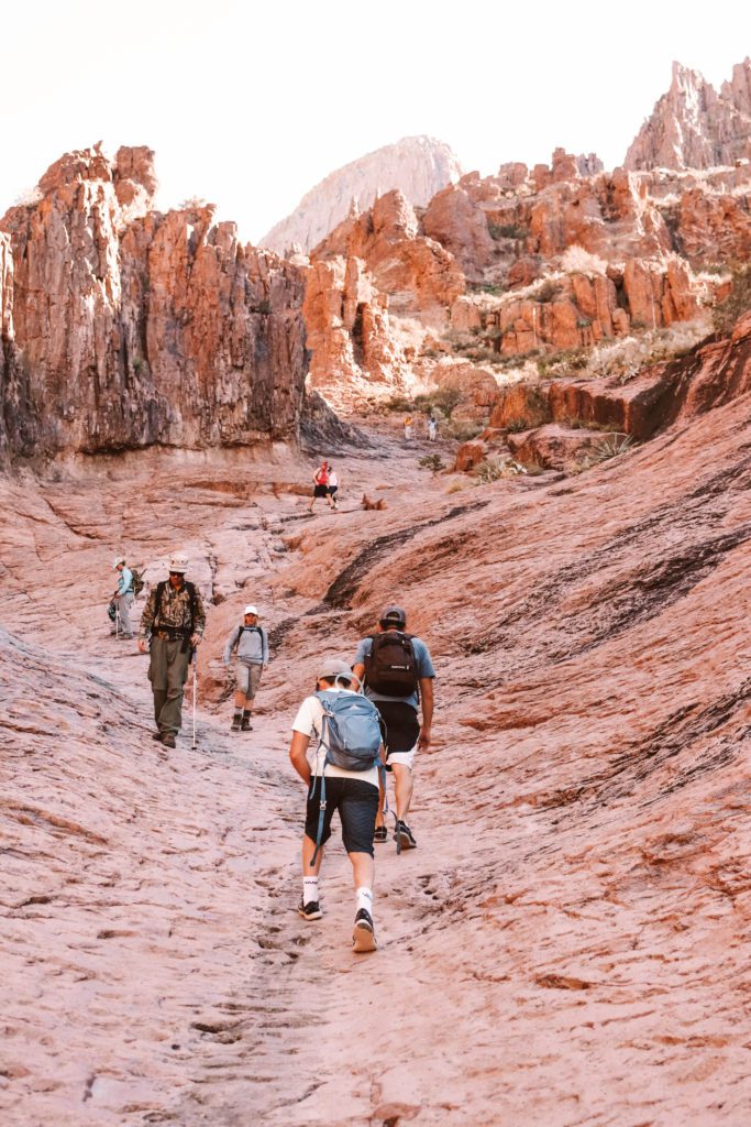
Once you reach the base of the mountains, the last mile or so of the trail becomes more steep with some rock scrambling.
You’ll also follow in and out of a dry wash for a portion of the trail with a lot of loose rocks and boulders to climb over.
The trail is also not very well marked at this point and it is easy to get off the trail. There is no cell service, so I would highly recommend downloading the AllTrails map before your hike to use offline.
The scenery is just breathtaking as you make your way through the mountains, especially in the early spring when the desert floor is carpeted in green.
This trail is dog friendly, but I would recommend leaving smaller pups at home. There are also a lot of cactus plants lining the trail, so use caution with their little paws.
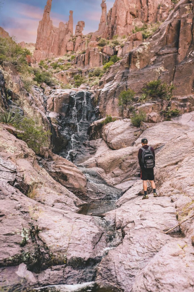
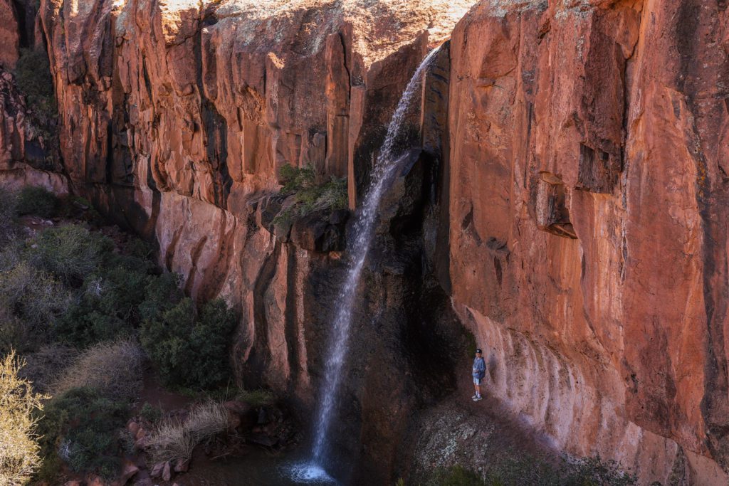
Once you reach the waterfall, you’ll find water flowing down the mountain with rock spires in the background. It truly is a breathtaking scene.
The waterfall is seasonal and does not flow year-round. The best time to visit is the day after a heavy rainstorm in the late winter or early spring, or after a summer monsoon storm.
We visited two days after rainstorm and the water was already starting to dry up, so the day right after a storm is the best time to go.
I would recommend checking the AllTrails map before you go for updated conditions to see if the water is still flowing.
The best time of day to hike the Canyon of the Waterfalls Trail is in the late afternoon.
The parking lot is quite small and the trail gets busy in the morning. If you come later in the day you’ll have a better chance of snagging a spot and having the trail to yourselves.
We also love hiking this trail in the evening so that you can enjoy the golden light dancing across the desert on your hike back down.
Even if there is no water flowing, it is still a beautiful trail to hike. The Superstition Mountains really are something special!
The Superstition Wilderness Area is one of the scenic attractions along the Apache Trail. For more information about driving this scenic route, see our guide The Best Stops on the Apache Trail Scenic Drive.
Massacre Falls Trail
- Location: Superstition Wilderness Area
- Distance: 5.4 miles roundtrip
- Difficulty: Moderate
- Amenities: Pit toilets
- Fee: No
It can be hard to find waterfalls in the desert, but the Massacre Falls Trail leads to a beautiful seasonal waterfall hidden in the Superstition Wilderness.
The trailhead is actually located near the Canyon of the Waterfalls Trail.
The Massacre Falls Trail is dog-friendly and kid-friendly, but it can be a bit long for little legs. Plan for about 3 hours.
Massacre Falls is only a seasonal waterfall, so the best time to do this hike is after a winter or spring rainstorm, or after a monsoon storm.
If you hike in the winter, you may even luck out and get to see the mountains covered in a dusting of snow like we did!
I would recommend checking AllTrails before you go to see if the waterfall is running.
The trail itself is beautiful if you do want to visit another time throughout the year, but just know that the water may not be flowing.
The trail can also be easy to lose towards the end as you get nearer to the falls, so I would highly recommend downloading the map on AllTrails Pro so that you can access the map offline.
This is a popular trail when the water is flowing, so plan to arrive early to get a parking spot.
The trailhead is located just past the entrance to the Lost Dutchman State Park. You will need to drive on a dirt road to get to the parking lot, but it is passable by all cars.
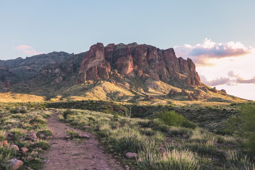
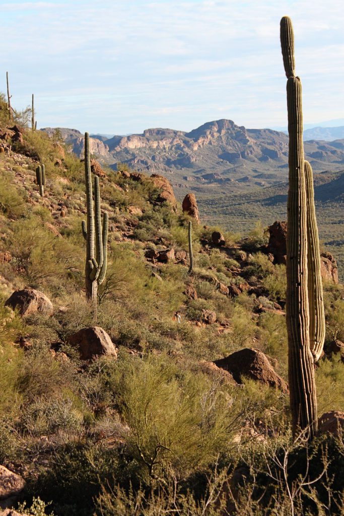
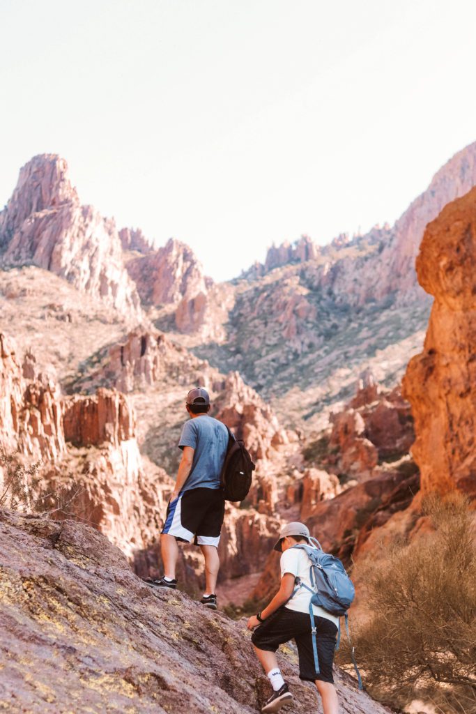
The views along the trail are just beautiful with the dramatic Superstition Mountains in the background and the famed Four Peaks off in the distance.
The trail isn’t too difficult, it is mostly a gradual incline with most of the elevation gain towards the end.
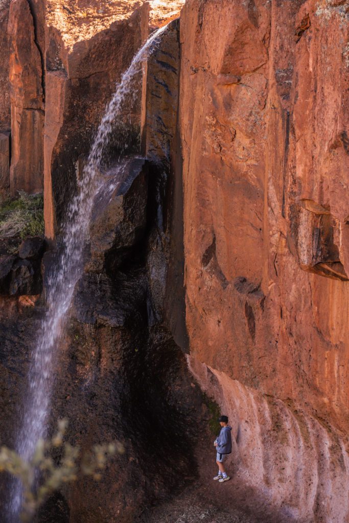
Once you reach the waterfall, you can walk right up to the base of the falls and get cooled off by the mist.
Even at its peak, there isn’t a ton of water flowing, but what makes it so pretty is that it tumbles down the sheer cliff of the red rock.
If you continue to the other side of the waterfall, there is actually a little spot where you can climb up and go behind the waterfall.
There is also a trail that leads up to the top of some rocks where you can get a great panoramic view.
This trail takes a little extra planning to get the timing right, but it is totally worth the effort!
The Wave Cave
Wave Cave trail information:
- Location: Carney Springs Trailhead 10947 Peralta Rd, Gold Canyon
- Distance: 3.2 miles roundtrip
- Difficulty: Moderate
- Amenities: No restrooms, water, or trash receptacles. However, restrooms are located at the nearby Peralta trailhead.
- Fee: This is considered to be State Trust Land and an advanced permit is required ($15/individual or $20/family). If you park at the Lost Goldmine East lot there is no fee, but it is a longer hike. You can find more information here.
A small parking lot is located at the end of a 6-mile dirt road that is passable by car.
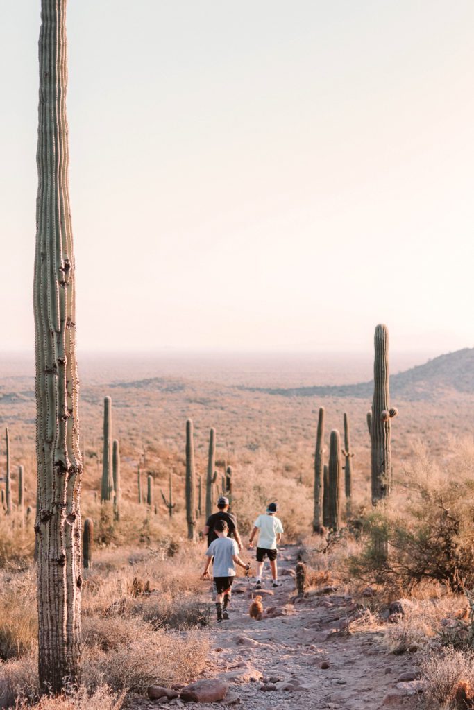
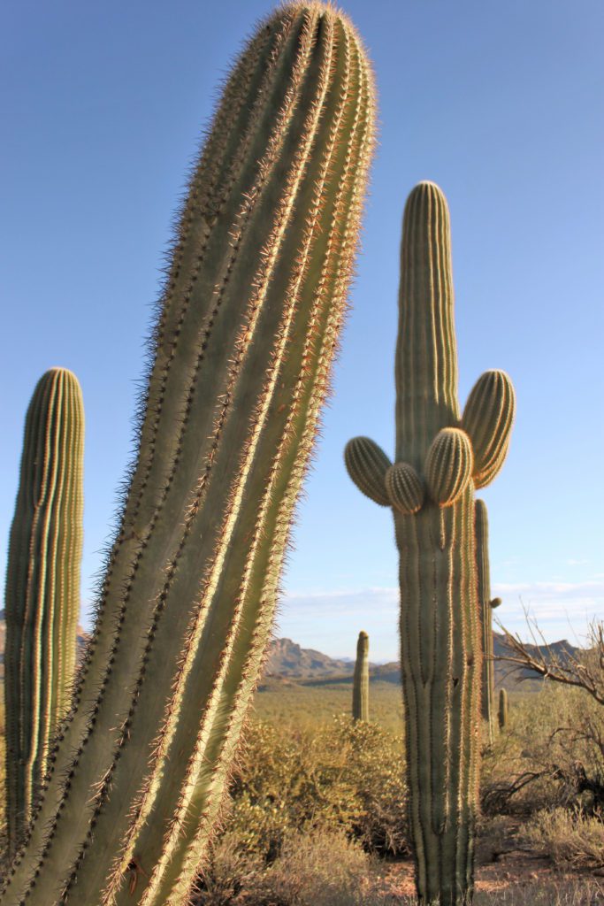
From here, the trail weaves through towering saguaro cacti and offers some of the most stunning desert views you’ll find in the valley.
The trail starts out easy but as you start gaining elevation and making your way up to the cave, it becomes much more challenging.
It is quite steep in parts with a lot of loose rocks. Use caution as it is quite easy to slip and fall, particularly on your way back down.
This hike was doable with our kids, but we had to take it slow on the last challenging stretch and stop for plenty of rest breaks.
Your hard work will be well rewarded once you reach the vast cave and geological wonder.
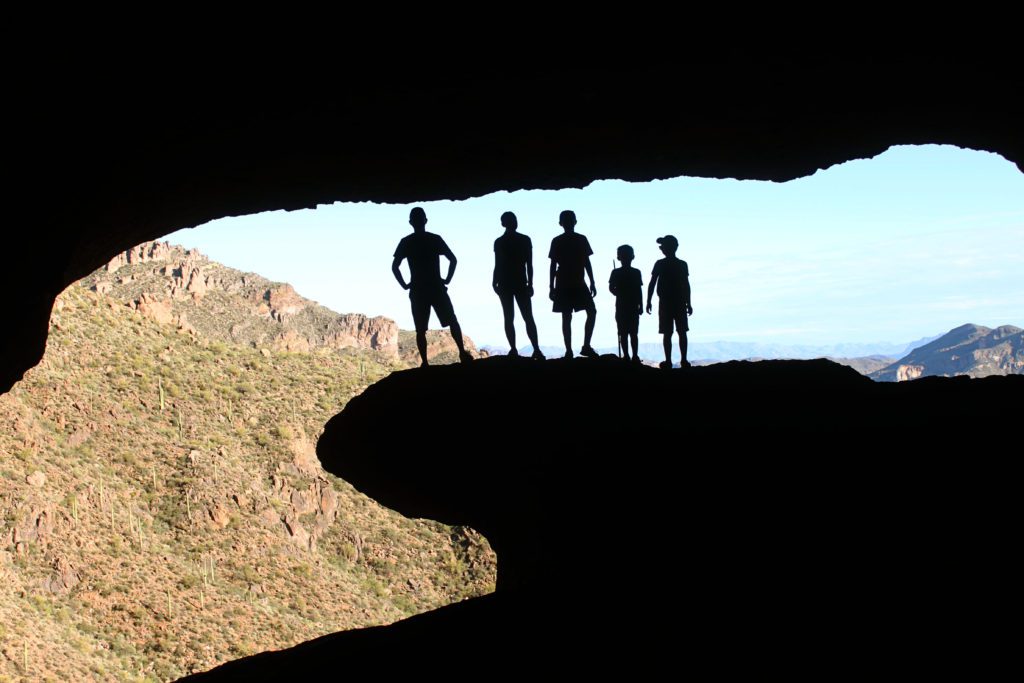
At the entrance of the cave, you’ll find a unique wave-like rock formation.
From inside of the cave it appears to look like a giant wave and creates the perfect silhouette for some fun photo-ops!
The cave is much larger than I expected. The cool shade makes for a great spot to enjoy a picnic lunch before carefully making your way back down.
Camelback Mountain
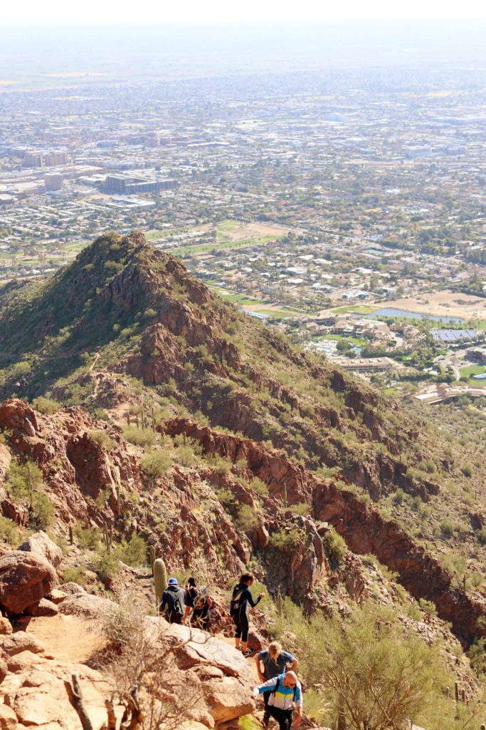
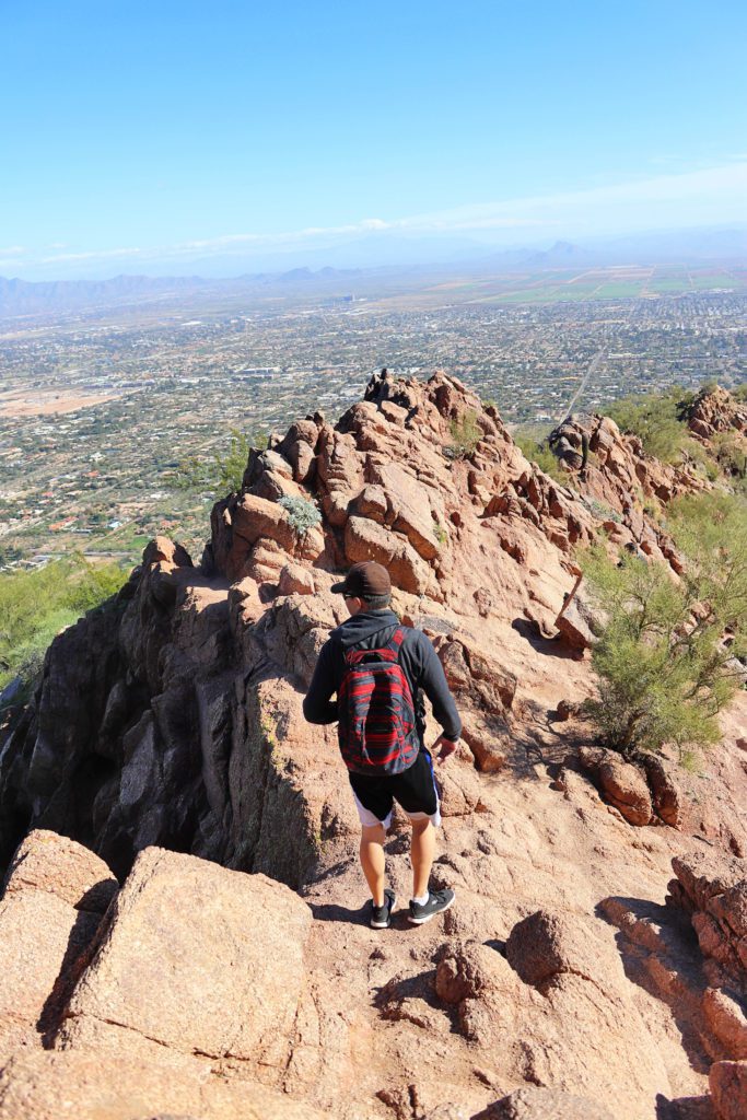
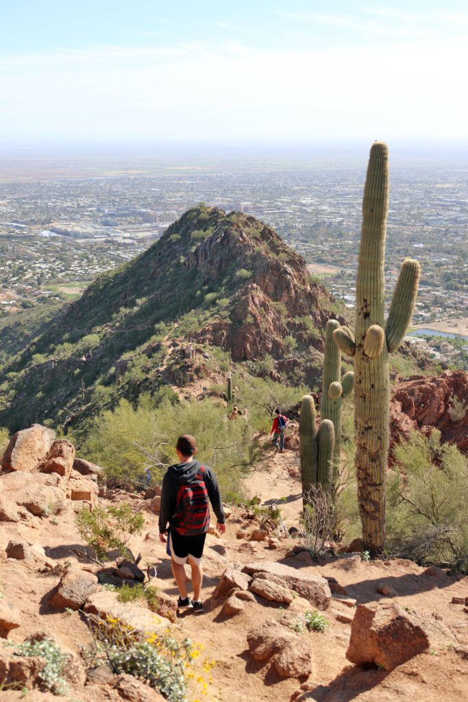
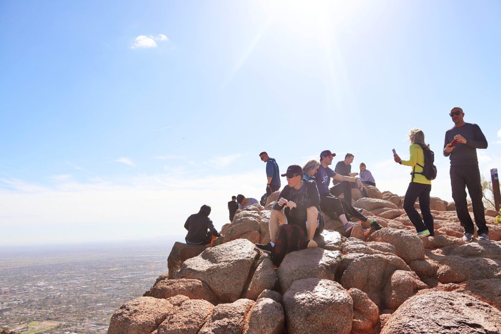
Camelback Mountain is one of the most popular hikes in Phoenix. There are two different trails leading to the summit, Cholla and Echo Canyon.
Always pack plenty of water and avoid hiking in the summer months. Unfortunately, there are one too many rescues on this trail each year.
Cholla Trail information:
- Location: 6131 E Cholla Ln, Paradise Valley
- Distance: 3 miles roundtrip
- Difficulty: Hard
- Amenities: No restrooms, water, or trash receptacles
- Fee: No
*Update: The Cholla trailhead and parking has been updated, check the City of Phoenix website for more details.
The Cholla Trail is slightly longer than Echo Canyon, but the first portion is more of a steady incline.
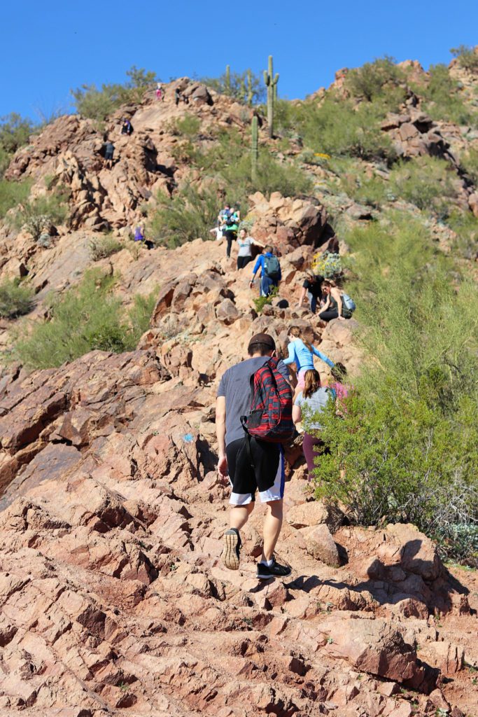
The last 3/4 of a mile or so are more challenging.
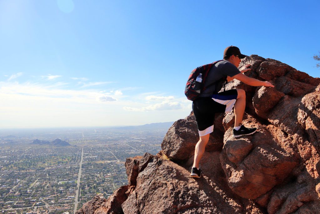
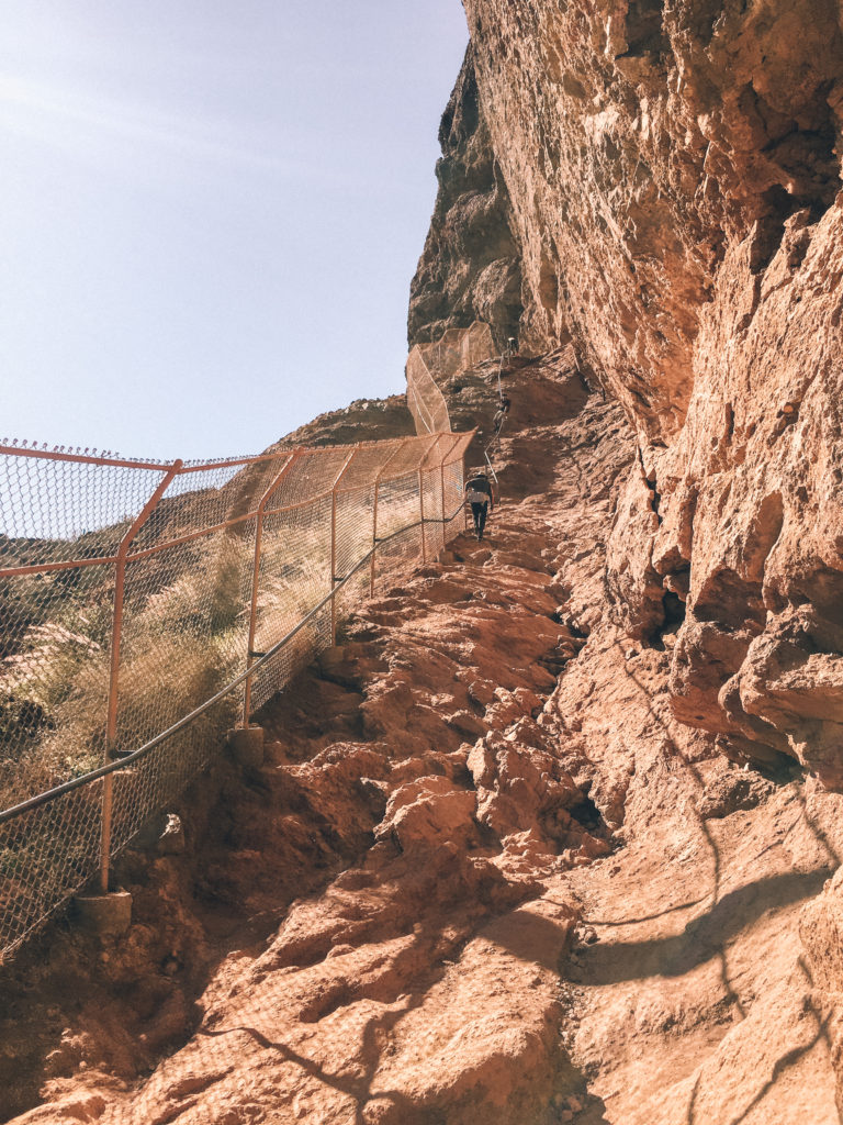
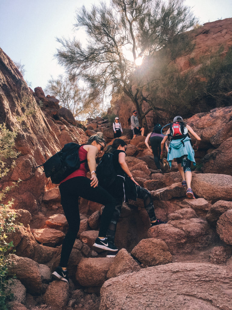
Plan to do some rock scrambling and steep climbing on a narrow ridge. I would not recommend taking children younger than 12 on this hike.
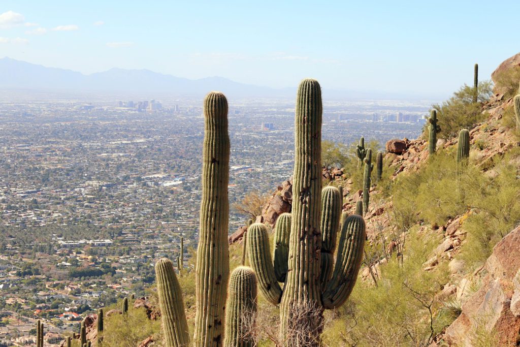
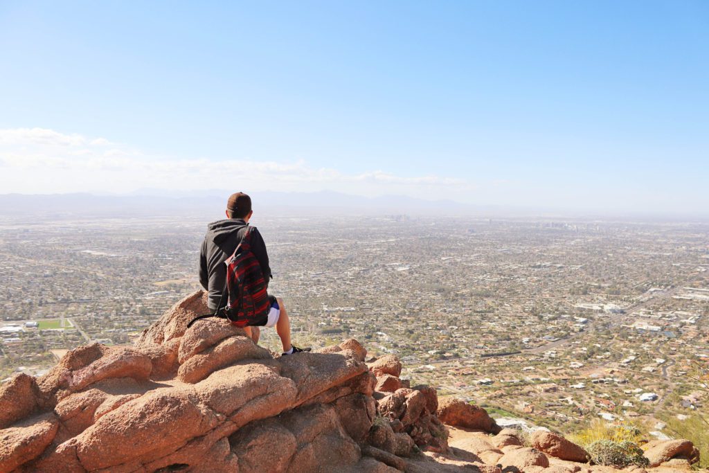
The trail offers unobstructed views over the valley the entire way up and the summit is spectacular.
It is definitely worth the effort to get there!
*And if you’ve worked up an appetite after your hike, check out these 11 Best Places to Eat in Scottsdale!
Echo Canyon Trail information
- Location: 4925 E McDonald Dr, Phoenix
- Distance: 2.6 miles roundtrip
- Difficulty: Hard
- Amenities: Restrooms, water station, and trash receptacles
- Fee: No
The Echo Canyon trailhead is located about 3 miles from the Cholla Trail on the other side of the mountain. It is possible to hike up one trail and go down the other if you have a vehicle parked at both lots.
There is a designated parking lot at the Echo Canyon trailhead with restroom facilities and water stations.
While this trail is a little shorter than the Cholla trail, it is a little more intense.
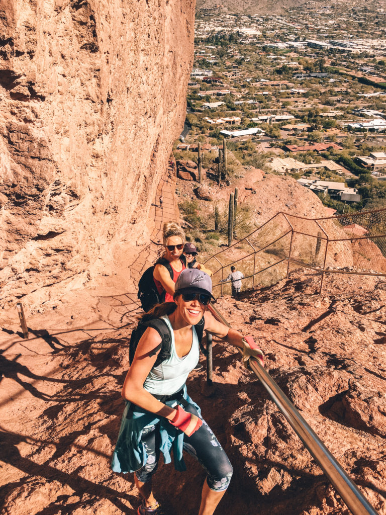
The trail starts climbing immediately after you start, and some portions are so steep that a handrail has been put in place to assist climbers. Gloves would also be helpful for scrambling over rocks.
The Echo Canyon Trail is a lot of fun, but I feel like the trail views on the Cholla trail are a little more scenic and open.
The Echo Canyon Trail follows mostly along the backside of the mountain until you reach the top.
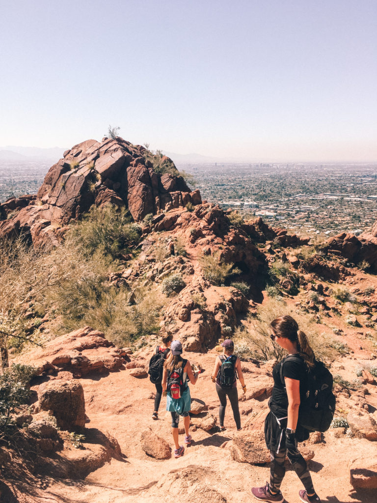
However, they both end at the same spectacular summit with 360-degree views over the valley.
*And if you’re looking for more things to do in the area, check out our Girlfriend’s Guide to the Best Things to Do in Scottsdale and 10 Secret Spots in Phoenix!
Flatiron via Siphon Draw Trail
Flatiron Trail information:
- Location: Lost Dutchman State Park, Apache Junction
- Distance: 6 miles roundtrip
- Difficulty: Hard
- Amenities: Restrooms and water fill stations are available at the campground near the trailhead.
- Fee: $10 per vehicle day use. Cash or cards are accepted.
Flatiron is one of the best hikes in Phoenix and should be on everyone’s bucket list! The Superstition Mountains are one of the most unique and beautiful mountain ranges in the valley.
Flatiron is the large rock formation overlooking the valley that resembles a clothes iron. It can be reached by the Siphon Draw Trail within the Lost Dutchman State Park.
The first two miles are a gradual incline through the Sonoran Desert landscape, but the last mile is brutal with a 1,000-foot elevation gain.
It is a challenging workout and you’ll definitely be feeling it the next day, but the view is so rewarding!
*For more details about this hike, be sure to check out our guide to Hiking Flatiron.
Treasure Loop Trail
Treasure Loop Trail information:
- Location: Lost Dutchman State Park, Apache Junction
- Distance: 2.4 miles roundtrip
- Difficulty: Easy to Moderate
- Amenities: Restrooms and water fill stations are available at the campground near the trailhead.
- Fee: $10 per vehicle day use. Cash or cards are accepted.
The Treasure Loop Trail is also located within the Lost Dutchman State Park.
Although this loop trail is much less challenging than Flatiron, you’ll still get a taste of the beauty of the Superstition Mountains.
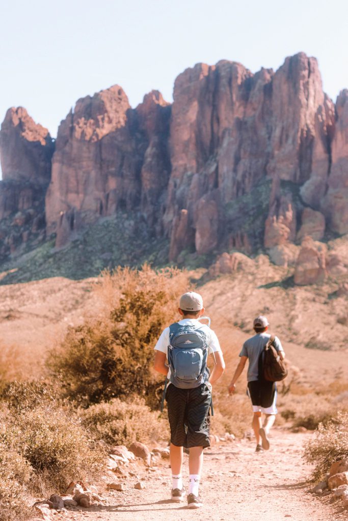
This hike, in my opinion, is one of the most photogenic hikes in the valley. The ominous rugged crags and towers of the Superstition Mountains make for an exquisite backdrop.
This fairly easy loop trail follows through scenic desert terrain and gradually ascends to a viewpoint before looping back to the parking lot.
This hike is one of our family’s favorite trails. There are rocks along the way for the kids to climb and shaded overhangs to rest and eat snacks.
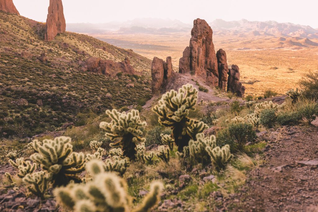
I would recommend visiting in the spring when the desert wildflowers and saguaro cactus are in bloom. Just be sure to stay on the trail to avoid rattlesnakes and the Jumping Cholla cactus.
Goldmine Trail
Goldmine Trail information:
- Location: San Tan Mountain Regional Park, 34316 N Goldmine Gulch Trail, Queen Creek
- Distance: 2 miles round trip to the viewpoint
- Difficulty: Moderate
- Amenities: portable toilets
- Fee: $7 cash only
San Tan Mountain Regional Park is conveniently located in the East Valley on the outskirts of Queen Creek. This quintessential desert trail leads to a great view overlooking the surrounding area.
The Goldmine Trail can be accessed on the north end of the park off of Wagon Wheel Road, or on the east end at the visitor center. We prefer the Goldmine trailhead off of Wagon Wheel Rd.
There is a small parking lot that fills up quickly when the weather is nice. Some street parking is available along the dirt road, but hikers will still need to pay to enter even if they are not parking in the lot.
From the trailhead, it is only about 1 mile up to the viewpoint located in a saddle between the peaks in Goldmine Mountain.
Even though the trail is fairly short, you will definitely get a workout at the end! The last ascent is quite steep with loose rocks, so use caution.
The Dynamite Trail branches off of the Goldmine Trail and eventually connects back around on the other side of the mountain.
This trail is 4.7 miles roundtrip, but it offers a more gradual incline to the viewpoint.
*For more fun things to do with families in Queen Creek, check out our guide 11 Fun Things to Do in Queen Creek with Kids!
[convertkit form=3250084]






[…] 7 Awesome Hikes in Phoenix Arizona […]