The Valley of Fire State Park in Nevada is a remarkable geological wonderland.
With unique red Aztec sandstone formations from the Jurassic Period, ancient petrified trees, and 2,500-year-old petroglyphs, it is an area rich in both beauty and history.
Continue reading to discover the best things to do at Valley of Fire State Park!
*Disclaimer: This post contains affiliate links. If you purchase a product or book a stay through the link then we receive a small commission at no extra cost to you. We really appreciate your support!
The Best Things to do at Valley of Fire State Park
Table of Contents
- Valley of Fire State Park Visitor information
- How to get to the Valley of Fire State Park
- Where to stay at Valley of Fire State Park
- Best Things to do in Valley of Fire State Park
- Stop at the Beehives
- See the petroglyphs at Atlatl Rock
- Visit Arch Rock
- Stop at the Visitor Center
- Drive along Mouse’s Tank Scenic Road
- Hike Mouse’s Tank Trail
- See the views at Rainbow Vista
- Hike through Pink Canyon
- Hike to the Fire Wave
- Hike the White Domes Trail
- See Elephant Rock
- Take a dip at Rogers Spring
Valley of Fire State Park Visitor information
- Fee: The entrance fee is $15 per vehicle for non-Nevada residents and $10 per vehicle for Nevada residents. If there is not a ranger at the entrance station then you will be required to use the self-pay station, so be sure to bring exact cash.
- Hours: The park is open daily from sunrise to sunset. The visitor center is open daily from 9 am – 4:30 pm.
- Facilities: Day-use picnic areas with shade structures and restrooms are located at Atlatl Rock, Seven Sisters, the Cabins, Mouse’s Tank Trailhead, and White Domes Trailhead.
- Pets: Pets are allowed in the park but must be kept on a leash.
- Fires: Fires are allowed only in designated fire rings and grills. Check beforehand for any fire restrictions.
- Drones: Drones are prohibited anywhere in the park.
- Notes: The temperatures can reach extremes in the summer so be sure to pack plenty of water. Most of the trails are exposed with little shade so bring hats and sunscreen as well. Try to avoid visiting during the summer months.
How to get to the Valley of Fire State Park
The Valley of Fire State Park is located about 48 miles or 50 minutes northeast of Las Vegas and makes for a great day trip! The address is 29450 Valley of Fire Rd, Overton, Nevada 89040.
There are two ways to access the park. From North Las Vegas you can take 1-15 N, or if you’re coming from Henderson you can take State Route 564 through Lake Mead National Recreation Area.
While I-15 N is faster, State Route 564 is more scenic. However, you will need to pay the $20 fee per vehicle to enter the Lake Mead National Recreation Area. It is free if you have the National Park Pass.
Where to stay at Valley of Fire State Park
For the best accommodation options, plan to stay in Las Vegas or Mesquite and make a day trip to visit the Valley of Fire.
There are also several tour options available from Las Vegas if you do not have a rental car.
However, if you would like to stay closer to the park there are a few select choices.
There are two campgrounds located at Valley of Fire, Atlatl Campground and Arch Rock Campground. There are a total of 72 sites between both campgrounds and all are on a first-come-first-serve basis.
Camping fees are $25 per vehicle for non-Nevada residents and $20 per vehicle for Nevada residents. There is an additional $10/night fee for sites with utility hookups.
If you are looking for hotels, the North Shore Inn at Lake Mead is located in Overton, about 15-20 minutes from the east entrance. While the accommodations are basic, the hotel is clean and affordable.
Best Things to do in Valley of Fire State Park
Stop at the Beehives
If you are coming from the west entrance, the Beehives is the first stop you’ll come to.
A short path leads to the sandstone formations that resemble oversized beehives.
The grooved domes were created by silt that was deposited by water and wind over millions of years.
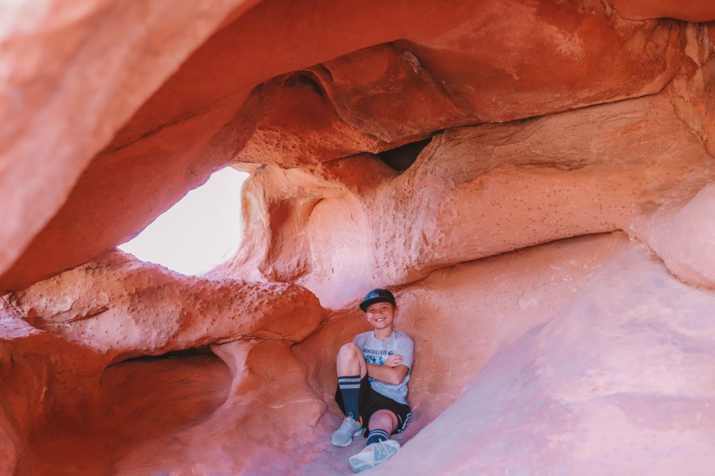
Some of the beehives have hollowed-out cores that you can even climb inside.
See the petroglyphs at Atlatl Rock
From the Beehives, take a small half-mile detour on Campground Road to reach Atlatl Rock.
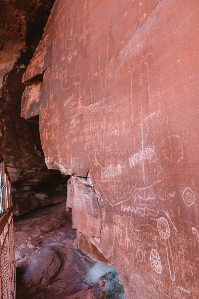
While petroglyphs can be found all throughout the park, Atlatl Rock is easily accessible and is the best place to see a highly concentrated amount of rock art.
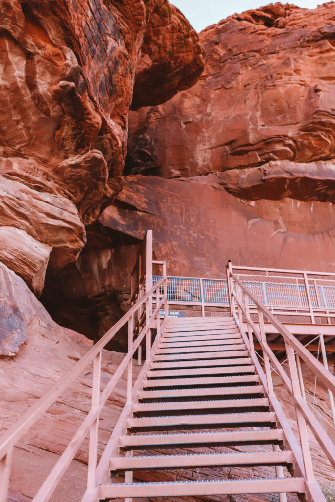
The petroglyphs are thousands of years old and can be found high on a rock about 50 feet above the ground.
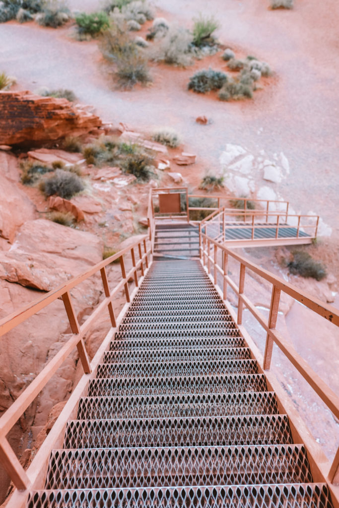
A metal staircase has been constructed to allow easy access to a viewing platform.
Once you reach the platform, you can see hundreds of petroglyphs etched into the desert varnish, the dark layer covering the rock.
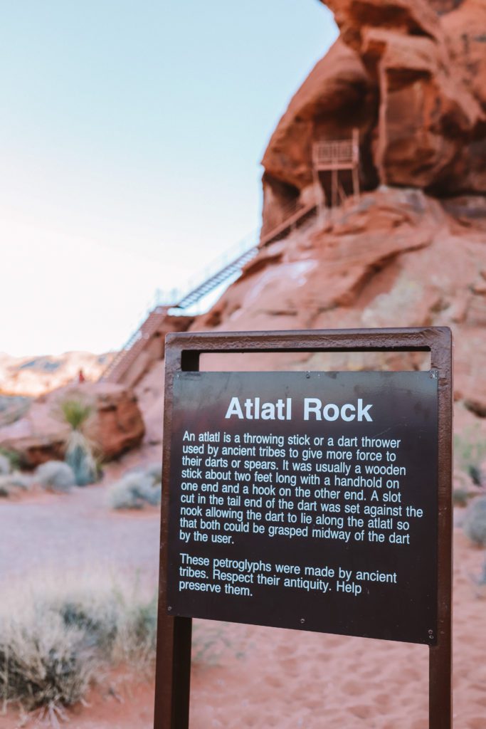
At the beginning of the trail leading to the staircase, you’ll find an informational sign that explains what an atlatl is.
An atlatl is a tool used to throw arrows and spears before the invention of the bow. If you look closely, you can see the atlatl depicted in the drawings.
After descending from the viewing platform, continue along the base of the rock to the right where you can find even more petroglyphs.
There is also a small shallow canyon to the right of Atlatl Rock that displays petroglyphs.
Visit Arch Rock
Arch Rock is relatively small but is easy to access. The natural rock arch can be seen just off the side of the road just after Atlatl Rock on Campground Road.
You can take a short trail leading to the rock for a closer look, but please do not climb on the arch as it is fragile and dangerous.
Fire Cave and Windstone Arch are also found further down Campground Road. However, the road is a bit rough after Arch Rock.
Fire Cave is a cool wind cave that has been carved into the sandstone. There are several other wind caves to explore just off the road, as well as Windstone Arch.
If you are looking for more impressive arches, be sure to check out Arches National Park near Moab, Utah!
Stop at the Visitor Center
The Valley of Fire State Park Visitor Center is a great place to get a quick overview of the park before setting off to explore.
Here you’ll find exhibits chronicling the history of the park and geological displays. You can also find park maps with hiking trails and recommended stops.
The knowledgeable staff are always ready and willing to answer any questions you might have. You can also find a small gift shop with souvenirs to purchase. The visitor center is open daily from 9 a.m. to 4:00 p.m.
*Related posts: 13 Fun Things to Do in Las Vegas with Kids and 9 Things to Do in Las Vegas that aren’t on the Strip
Drive along Mouse’s Tank Scenic Road
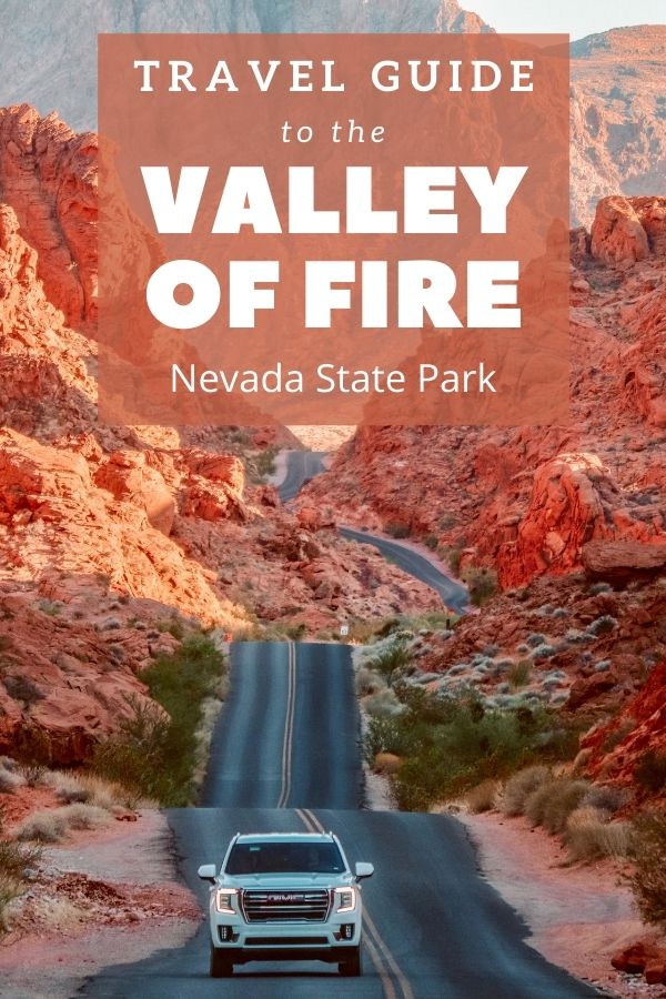
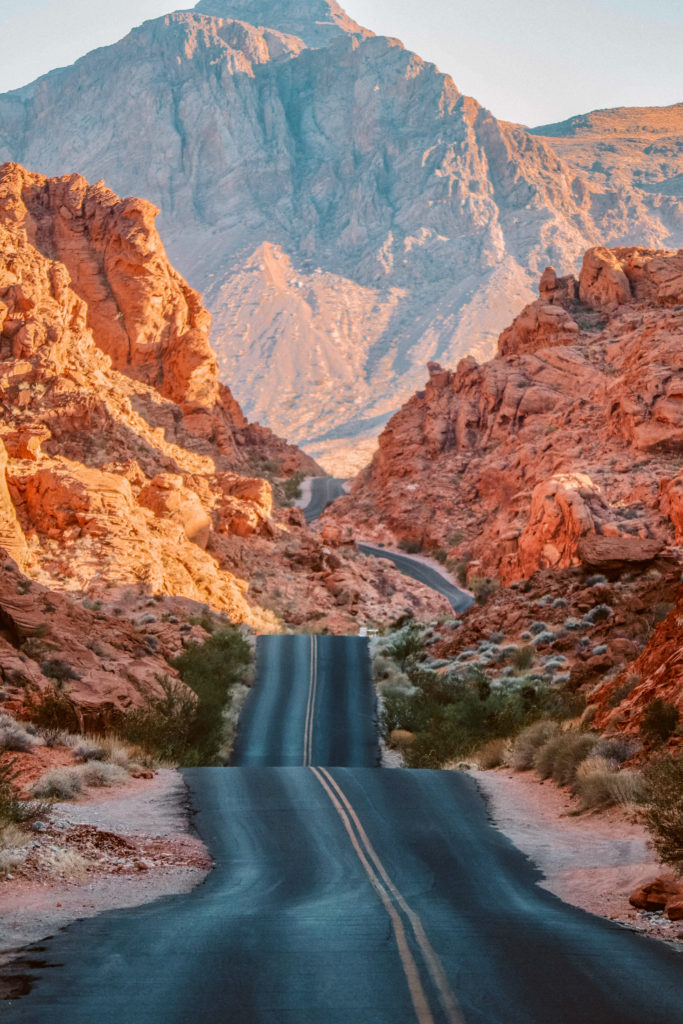
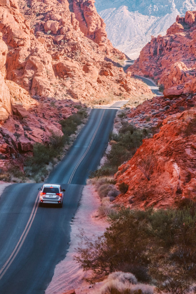
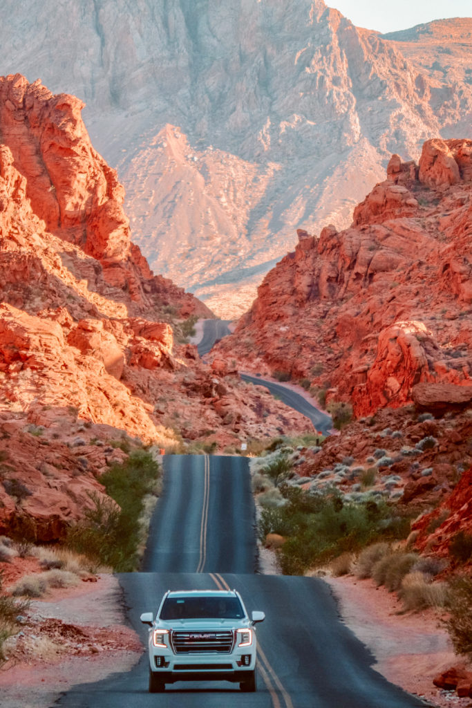
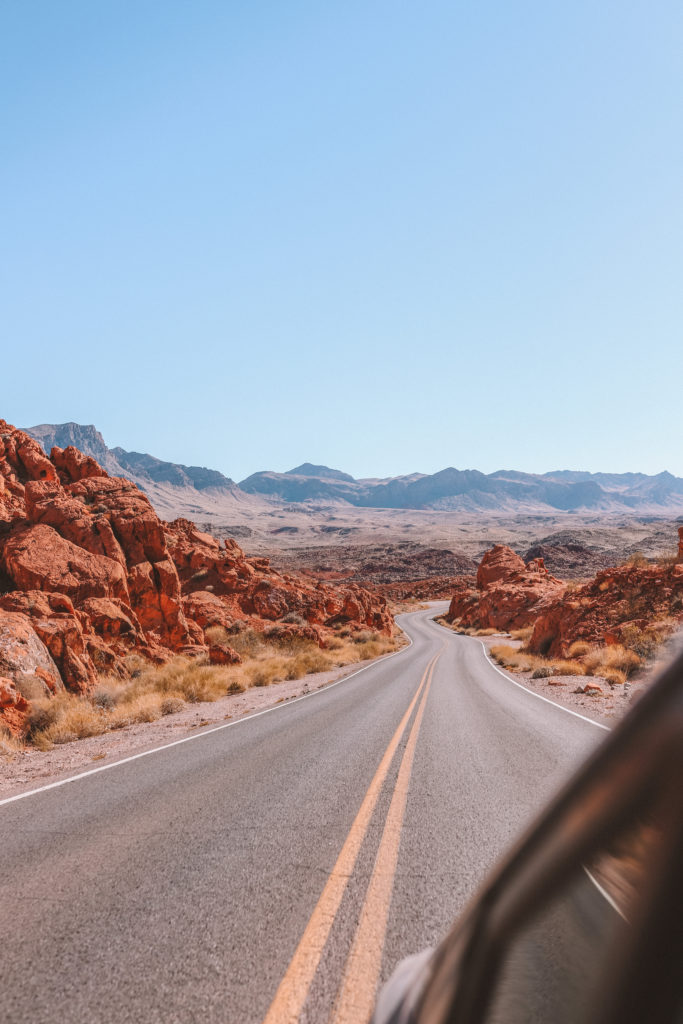
Mouse’s Tank Road is my favorite spot in the Valley of Fire State Park. It is also arguably the most photogenic road in the southwest.
The hilly road is tucked in between towering red rocks and leads to some of the best hikes in the park.
The road is 5.7 miles long, beginning at the visitor center and ending at the White Domes trailhead.
There are several spots where you can pull over and climb on top of one of the many rocks to capture a spectacular view of the road.
We found that the best place to take pictures on Mouse’s Tank Road is near the restrooms a few miles up the road. There is a small parking lot and larger boulders that you can climb on.
Evening is the best time to take photos in order to avoid the harsh shadows.
Hike Mouse’s Tank Trail
While you’re on Mouse’s Tank Road, be sure to stop and hike the Mouse’s Tank Trail.
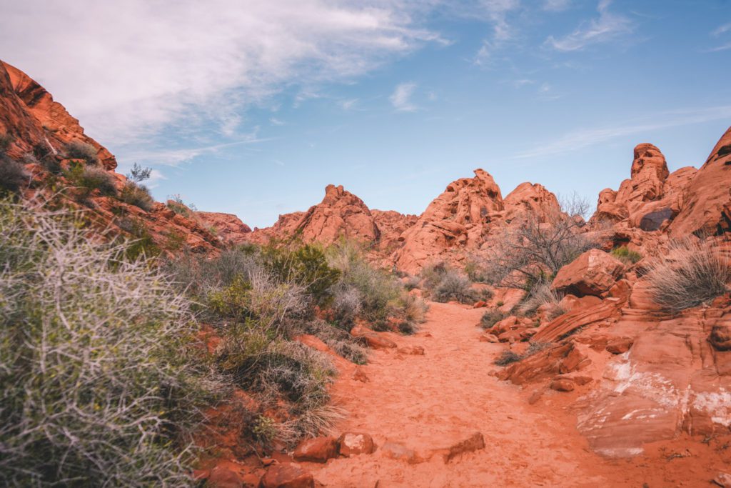
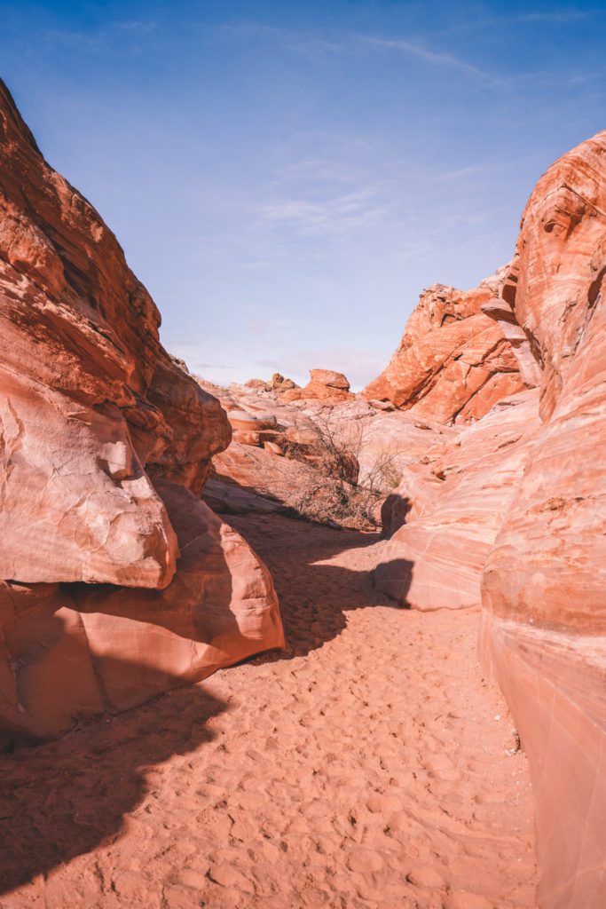
The easy .75 mile round-trip interpretive trail is along a flat sandy canyon trail. You’ll discover hundreds of petroglyphs along the way.
At the end of the trail, there is a natural rock basin that collects rainwater.
Legend has it that this is where Little Mouse, a southern Paiute Indian, hid out back in the 1890s.
He was on the run after killing two prospectors and was able to survive for some time in the desert by drinking the fresh rainwater in the stone tank.
Restrooms and a picnic shelter can also be found at the parking lot.
See the views at Rainbow Vista
The 1.2-mile roundtrip Rainbow Vista Trail is a loop trail that leads to a spectacular lookout over Fire Canyon.
The canyon is aptly named for the fiery red rocks that dot the landscape.
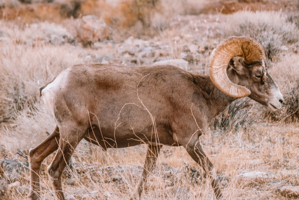
The trail is rated easy as it follows along a fairly flat sandy trail. Big Horn Sheep can often be found along the trail and throughout the park, so keep your eye out!
Continue further up Mouse’s Tank Road to Fire Canyon Road where you can reach the Silica Dome Overlook.
Here you’ll find a stark contrast between the deep red rock and surrounding white sandstone.
Hike through Pink Canyon
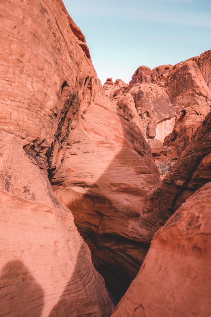
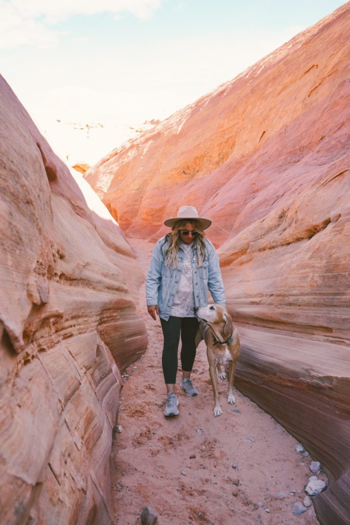
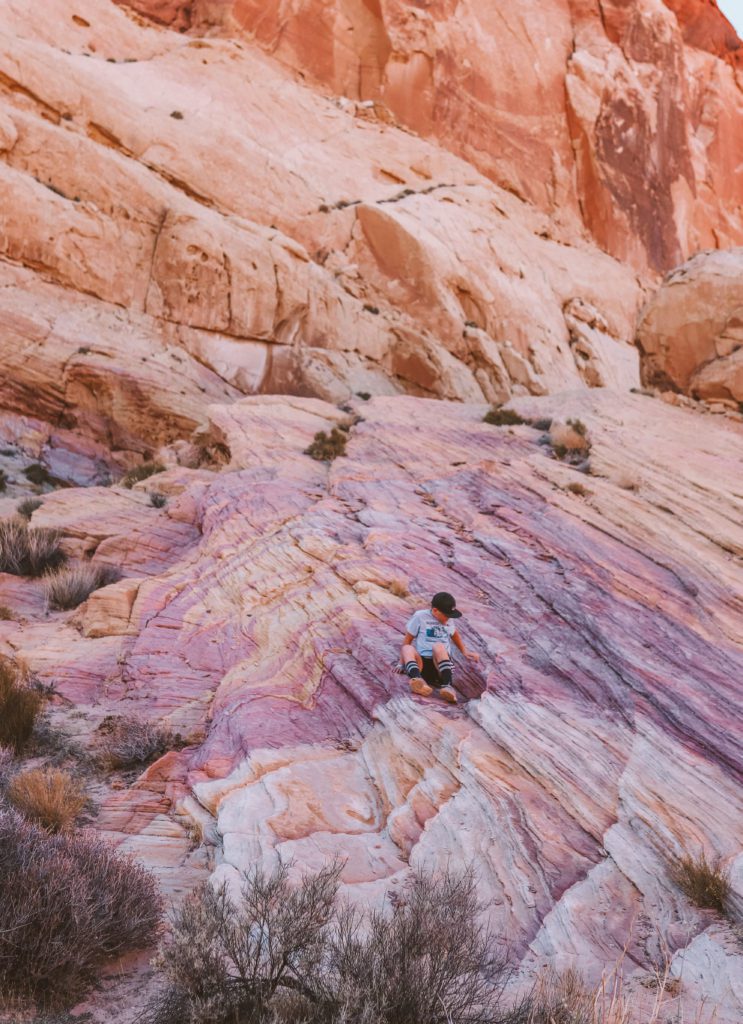
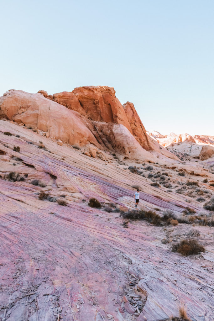
Pink Canyon, also known as Pastel Canyon, is an unmarked trail that leads to a shallow pastel-colored slot canyon.
The trail can be found between Fire Canyon Road and the Fire Wave trailhead along Mouse’s Tank Road.
The small parking area is located on the east side of the road about 2.1 miles from Fire Canyon Road or 3.9 miles from the beginning of Mouse’s Tank Road.
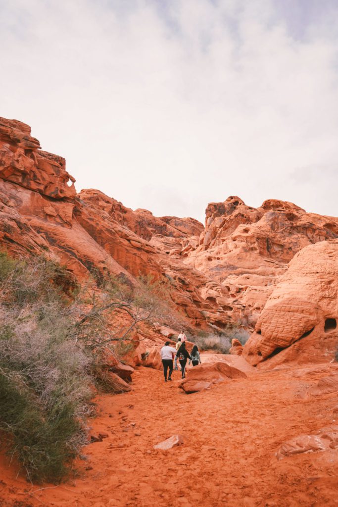
From here, you’ll see a worn trail leading into the canyon where you can explore as far as you feel comfortable. Just use caution and don’t get lost on the side trails.
Hike to the Fire Wave
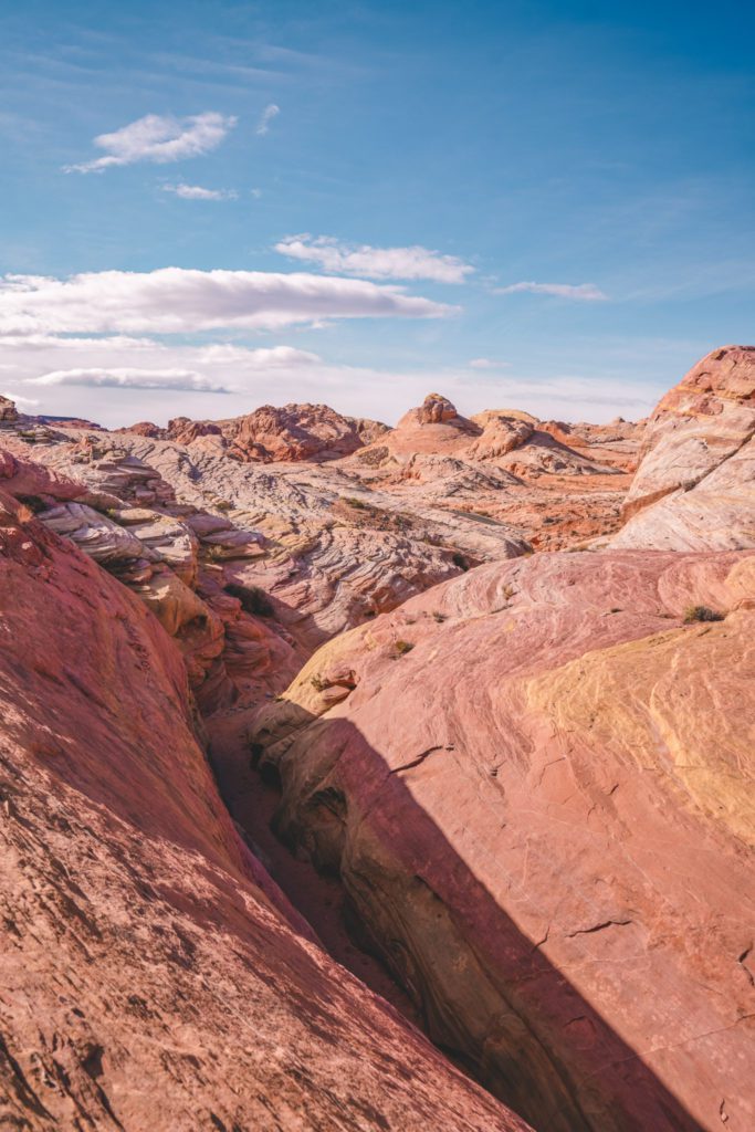
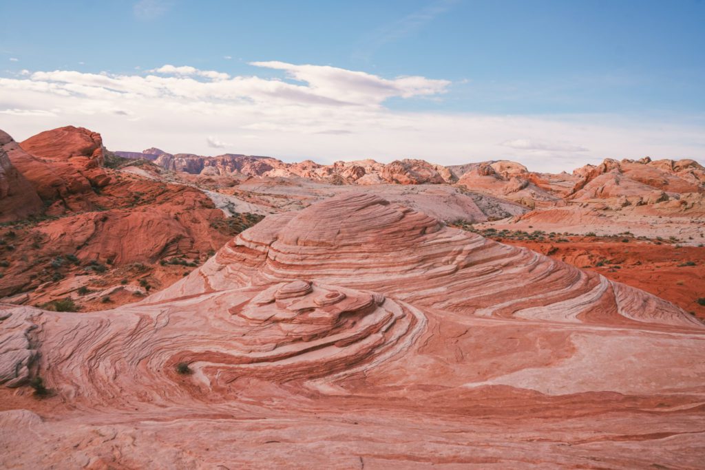
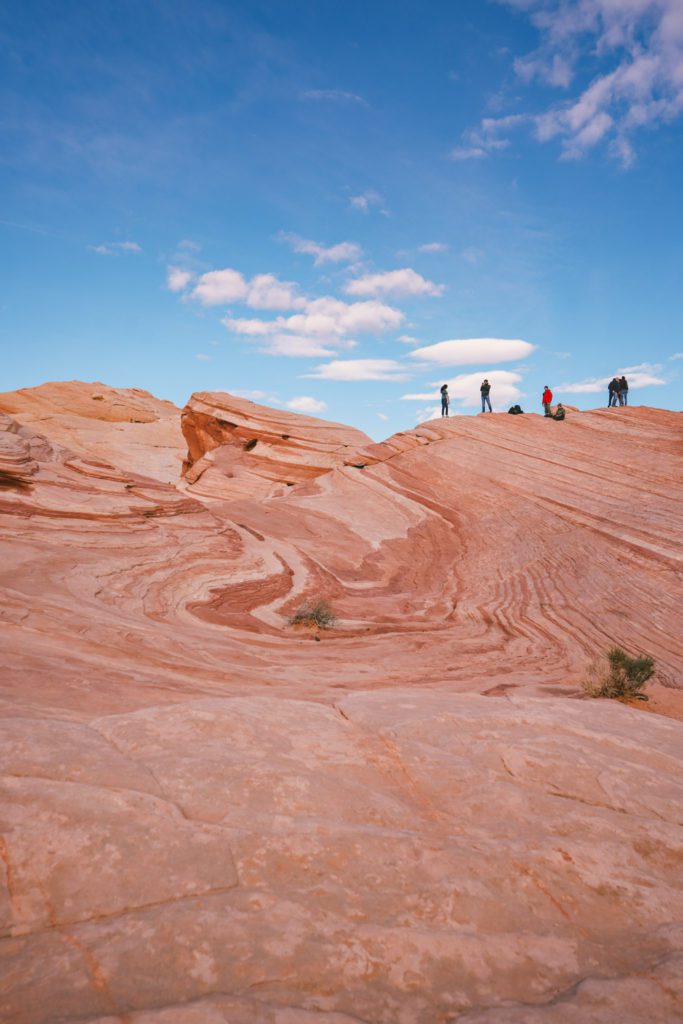
The Fire Wave is perhaps the most popular trail and scenic landmark in Valley of Fire State Park.
The trailhead can be found at parking lot #3 near the end of Mouse’s Tank Road.
The trail is 1.5 miles roundtrip and crosses over rainbow-colored sandstone before reaching a striated pink and cream wave-like rock formation.
The trail follows along a sandy wash and over the rocks.
There are trail markers all along the way so just pay attention so that you don’t get lost while traversing over the rocks.
The scenery along the way is so spectacular. The vibrant pallet of colors is so unique to the area.
But the crowning jewel is the swirling Fire Wave itself. The swirling colors on this unique geological formation make it one of the most photographed spots in the park.
You’ll want to come early in the morning or later in the evening to avoid the crowds.
You can also reach the Pink Canyon Trail from the Fire Wave. Just continue south along the trail until you reach a sandy wash then take a right. Continue for about 0.5 miles until you reach Pink Canyon.
I would recommend upgrading to AllTrails Pro so that you can download the map and use it offline since there is no cell service here.
*Related Post: Death Valley also makes for an incredible day trip from Las Vegas!
Hike the White Domes Trail
The White Domes Trail is the last stop on Mouse’s Tank Road. This 1.1-mile loop trail sure packs a punch!
The trail leads down rock steps past the remains of an old movie set then follows along through a narrow white sandstone slot canyon.
You’ll also find several rock arches along the way and plenty of dome rock features to climb on.
While the trail is fairly short, it is steep in a few portions. The trail is exposed so be sure to pack plenty of water, especially in the summer.
See Elephant Rock
As you return back along Mouse’s Tank Road to the main Valley of Fire Hwy, continue towards the east entrance.
There are a few stops along the way if you have the time, including Seven Sisters, Cabins, and Petrified Logs.
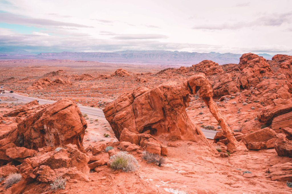
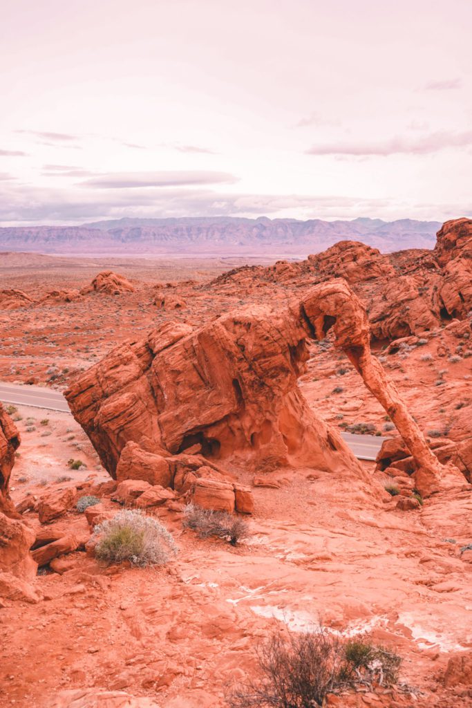
However, the most notable stop is Elephant Rock which can be found right before the east entrance. The unique sandstone formation resembles a long elephant trunk.
Elephant Rock can be seen while driving along Valley of Fire Hwy, or there is a short trail to get a closer view.
To reach Elephant Rock, follow the trail leading from the east entrance parking lot.
The trail will soon come to a fork. Head to the left and hike about 0.3 miles to reach Elephant Rock.
If you follow the trail to the right you will be on the Arrowhead Trail, a 1.2-mile loop trail that takes a longer route throughout the park to reach Elephant Rock.
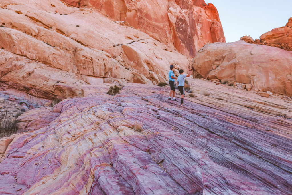
There are also so many cool rock formations in this area that are fun to just climb and explore!
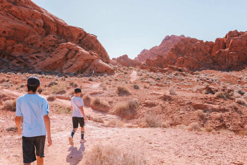
Seeing Elephant Rock is cool, but your kids will also have the best time just exploring, climbing on rocks, and finding caves!
Take a dip at Rogers Spring
Rogers Spring is located about 8 miles outside of Valley of Fire State Park.
After exiting the east entrance of the park, take a right on Northshore Rd towards Lake Mead. After about 5-10 minutes you’ll see the parking lot for Rogers Spring.
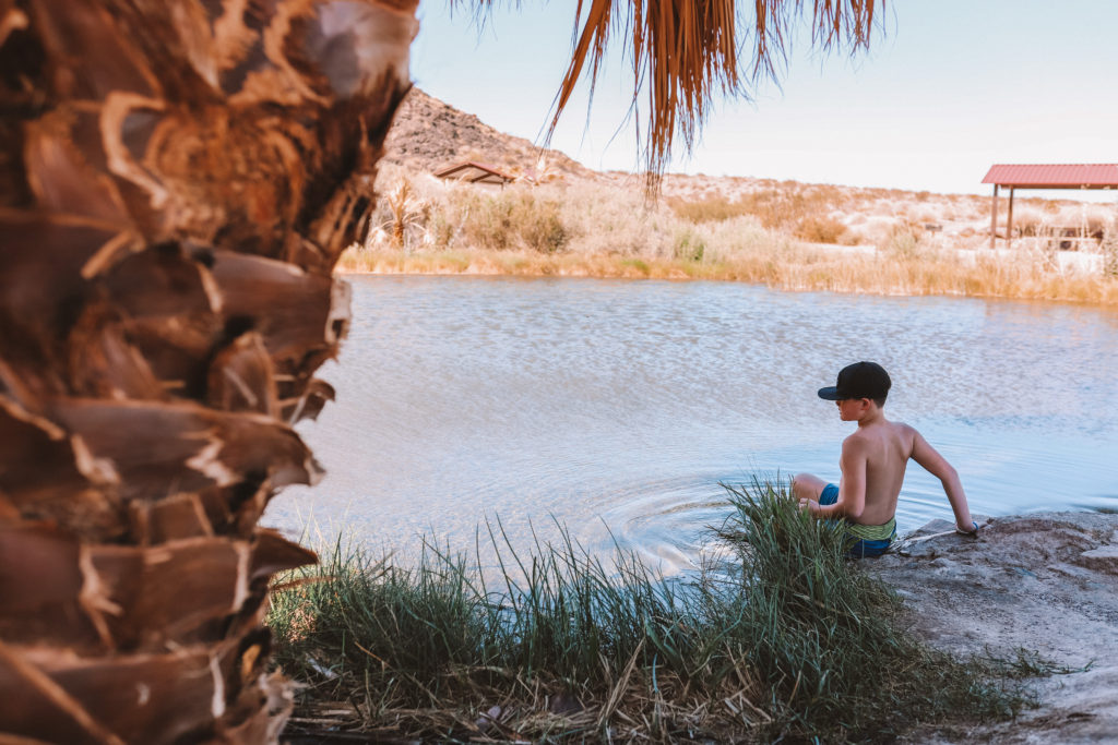
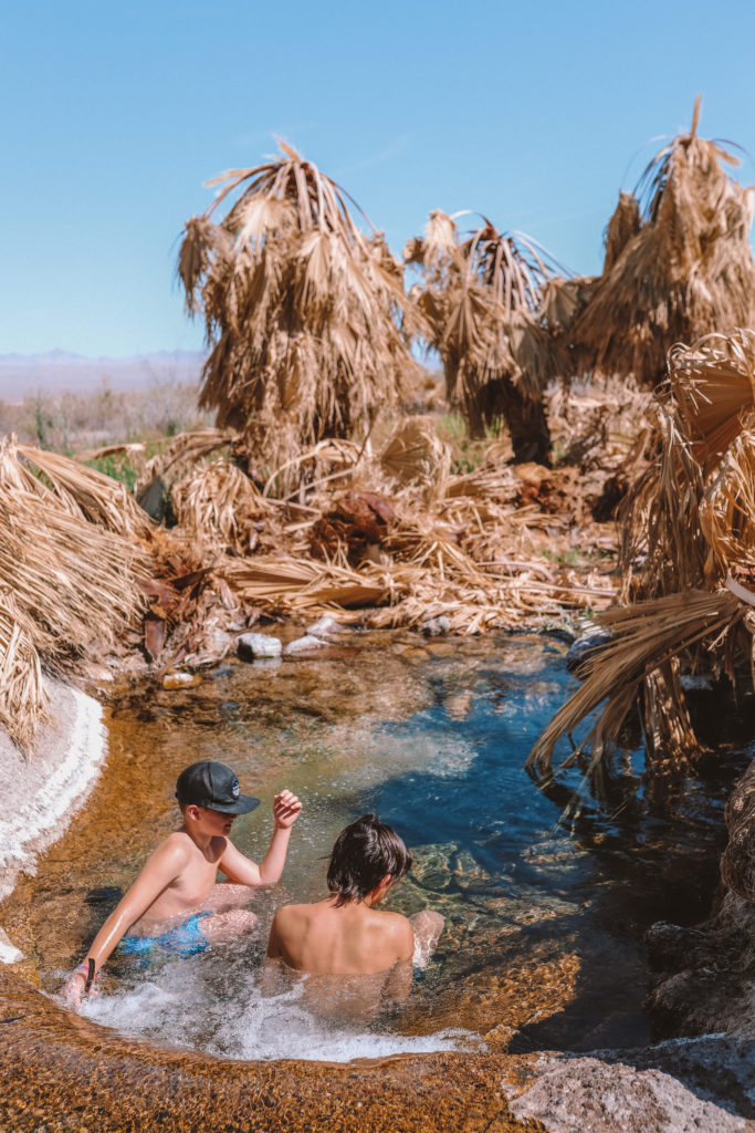
Rogers Spring is a natural warm spring with an average year-round temperature of around 85 degrees. The main pond is small with a short waterfall filling a smaller pool.
This smaller pool was once a lush desert oasis, as you can see on this post.
However, we visited in the summer during the peak of a drought. The surrounding palm trees were brown and dying, I am hopeful that with enough rain they will perk up again!
The crystal clear pool was still nice to sit in and cool off from the summer heat.
The pool is teeming with small fish that like to nibble on your toes. My boys thought that was hilarious and had fun catching the fish with a net they found in the bushes.
While the springs are small, it is a great place to relax and unwind after spending a day exploring Valley of Fire State Park!







[…] *And for the best scenic drive in the southwest, check out the nearby Valley of Fire State Park! […]