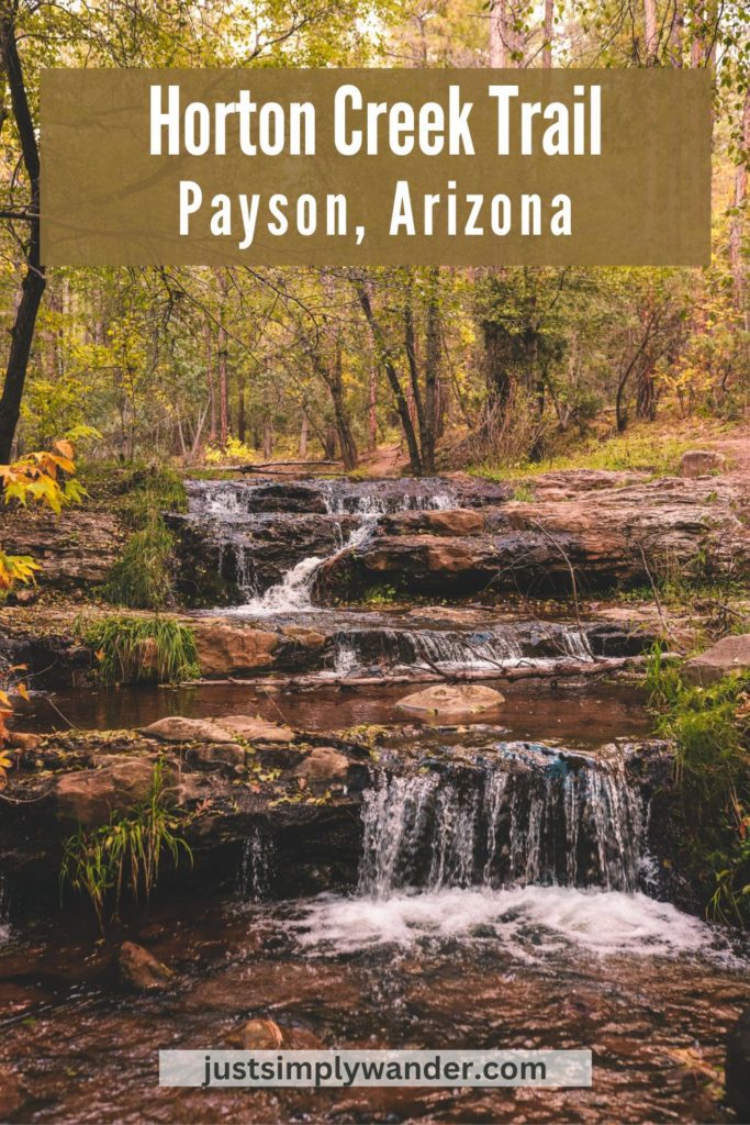
The Horton Creek Trail is one of the most scenic hikes near Payson, Arizona. This trail winds through the thick forest along the creek with a series of waterfalls all along the way.
Keep reading to discover everything you need to know before hiking the Horton Creek Trail.
*This post contains affiliate links. We may receive a small commission through products purchased through links on our site, at no additional cost to you.
Tips for Hiking Horton Creek Trail
Table of Contents
- Horton Creek Trail Information
- How to get to the Horton Creek trailhead
- What to expect when hiking the Horton Creek Trail
Horton Creek Trail Information
- Is there a fee to hike Horton Creek Trail? You need an $8 Tonto Day Pass to hike this trail.
- How long is the Horton Creek Trail? If you complete the whole trail, it is 8.6 miles out and back. However, the entire trail is scenic so you can still experience the beauty even if you only hike a portion of the trail.
- How long does it take to hike the Horton Creek Trail? Plan for about 5 hours to complete the entire trail.
- How much elevation gain is the Horton Creek Trail? The total elevation gain is 2,437 feet.
- How difficult is the Horton Creek Trail? If you complete the entire trail it is considered moderate to challenging. However, if you only hike about 2-3 miles along the river then it is rated easy. The last mile is the most challenging.
- Is the Horton Creek Trail kid-friendly? Yes, but I would recommend only doing a portion of the trail if you have kids.
- Is the Horton Creek Trail dog friendly? Yes, dogs are allowed on the trail but must be kept on a leash.
- Are there bathrooms at the trailhead? Yes, there are vault toilets located in the parking lot.
- When is the best time to hike the Horton Creek Trail? The trail is open year-round but the best time to visit is May through October. The trail can be snowy and muddy from late fall to late spring.
How to get to the Horton Creek trailhead
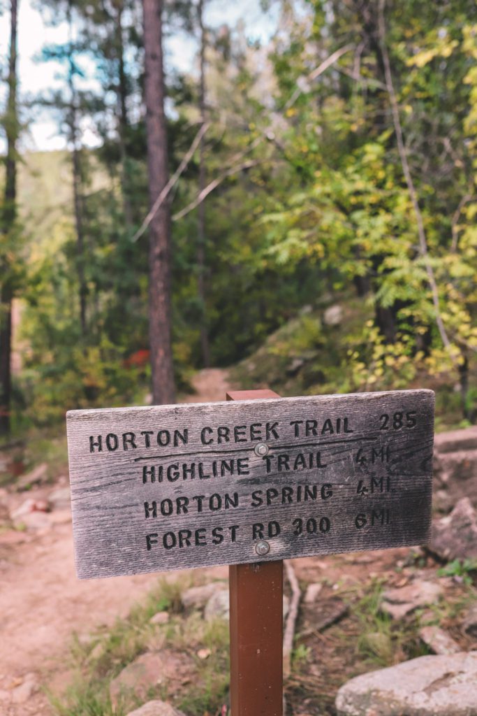
Horton Creek Trail #285 is about 20 minutes east of Payson. It is located in the Tonto National Forest near the base of the Mogollon Rim.
Take HWY 260 east of Payson for about 16 miles until you reach Forest Service Road 289. It is located just past mile marker 268 at a sign posted for Kohl’s Ranch.
Take a left and follow the road for 0.8 miles until you come to the Tonto Creek Upper Campground on your right.
Continue just a few hundred feet past the campground and you’ll find a small parking lot on the left side of the road.
There is also limited parking along the side of the road.
The Derrick Trail begins at this parking lot as well, so don’t get confused.
To reach the Horton Creek Trail you’ll need to cross the street to the Tonto Creek Upper Campground where you’ll see the trailhead on the left.
If you’re interested in camping here, see the Forest Service website for details. Dispersed camping is also available along the creek.
What to expect when hiking the Horton Creek Trail
The trail begins where Tonto Creek and Horton Creek merge.
Although water flows from the Horton Spring year-round, the creek is diverted to underground limestone caverns for the first half-mile or so of the trail.
It may look like the creek has dried up but don’t worry, it will be flowing as you head further upstream.
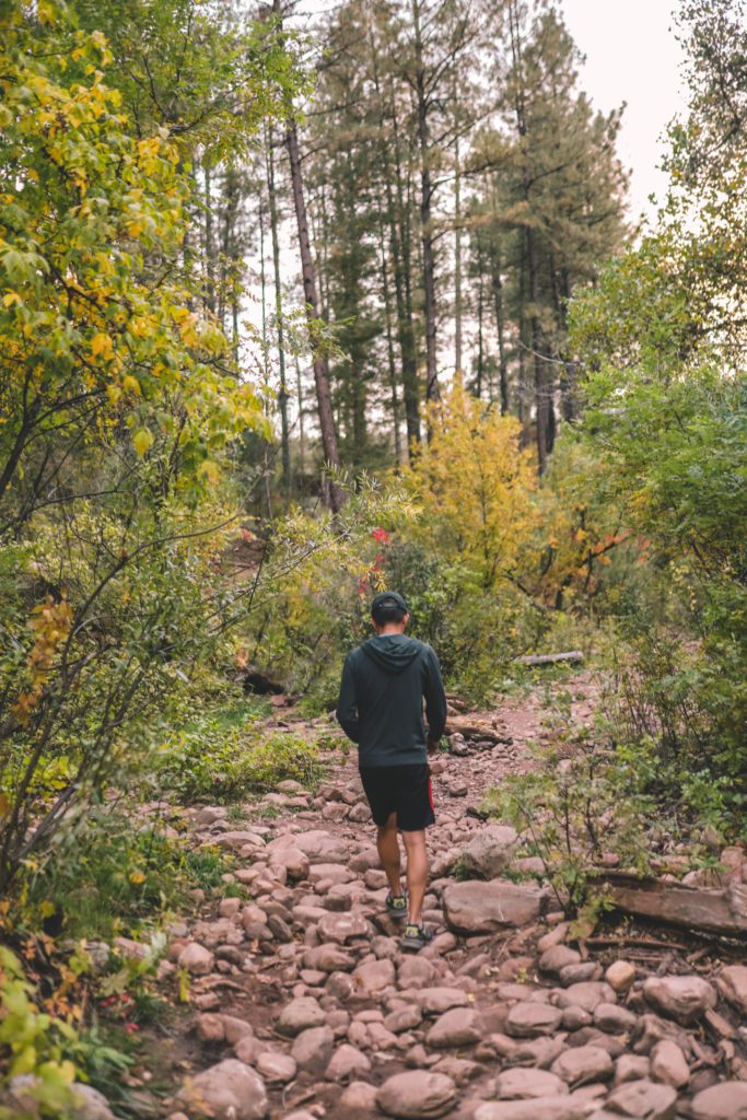
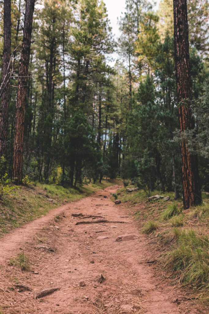
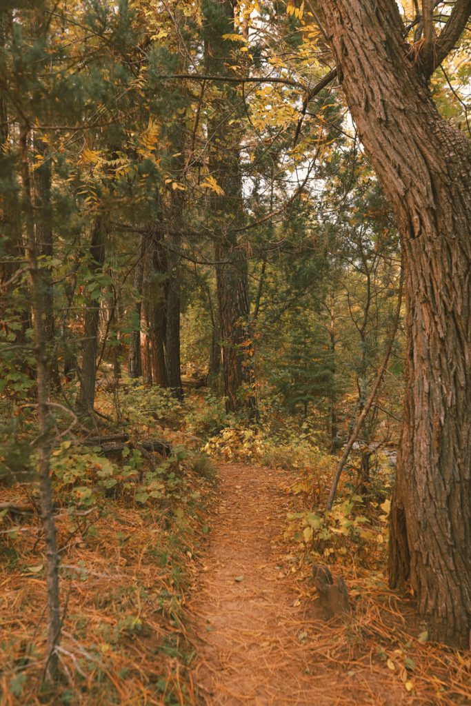
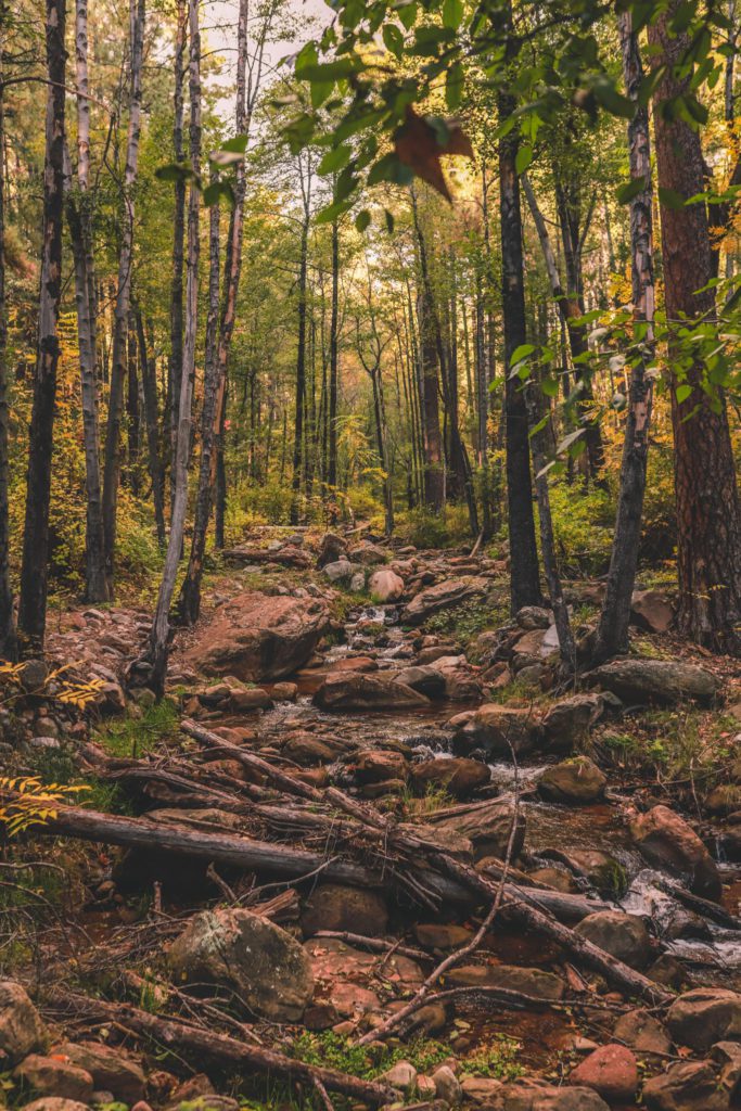
The trail begins by crossing over the dry creek bed and then leads through a thick pine forest along an old jeep trail. The path is well-marked with a gradual incline.
There is very limited cell reception in the area, so I would recommend upgrading to AllTrails Pro so that you can download the map offline.
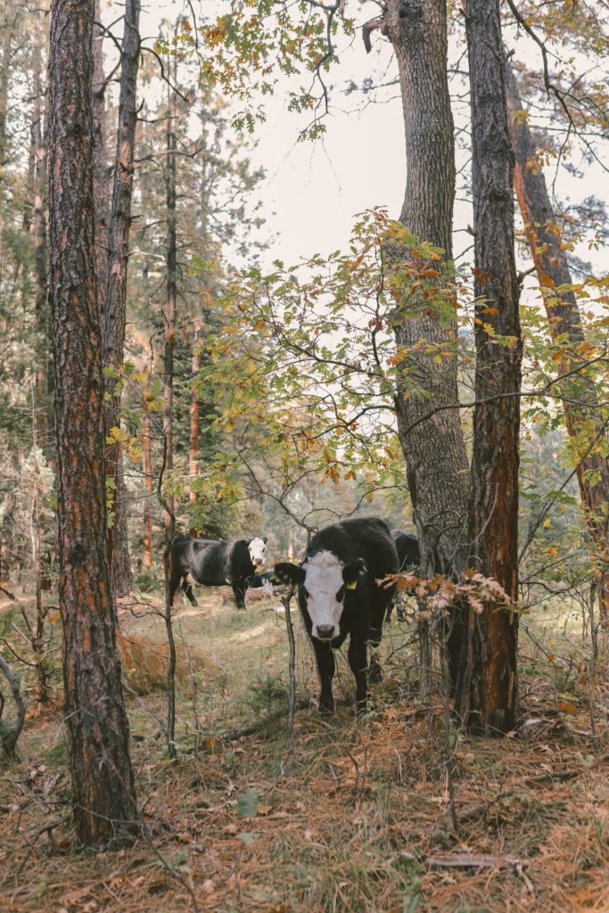
As you’re hiking through the woods, there’s a good chance that you’ll encounter some cattle grazing along the trail. Just give them their space and try not to step in poop!
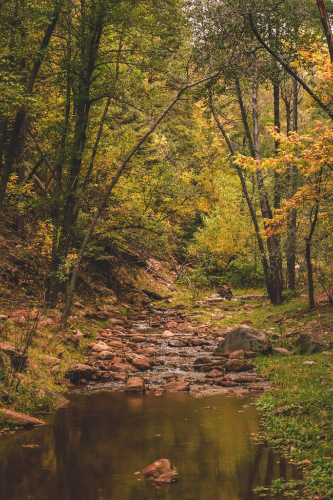
After about 0.5 miles, you’ll be able to catch a glimpse of the creek down a small ravine on your right.
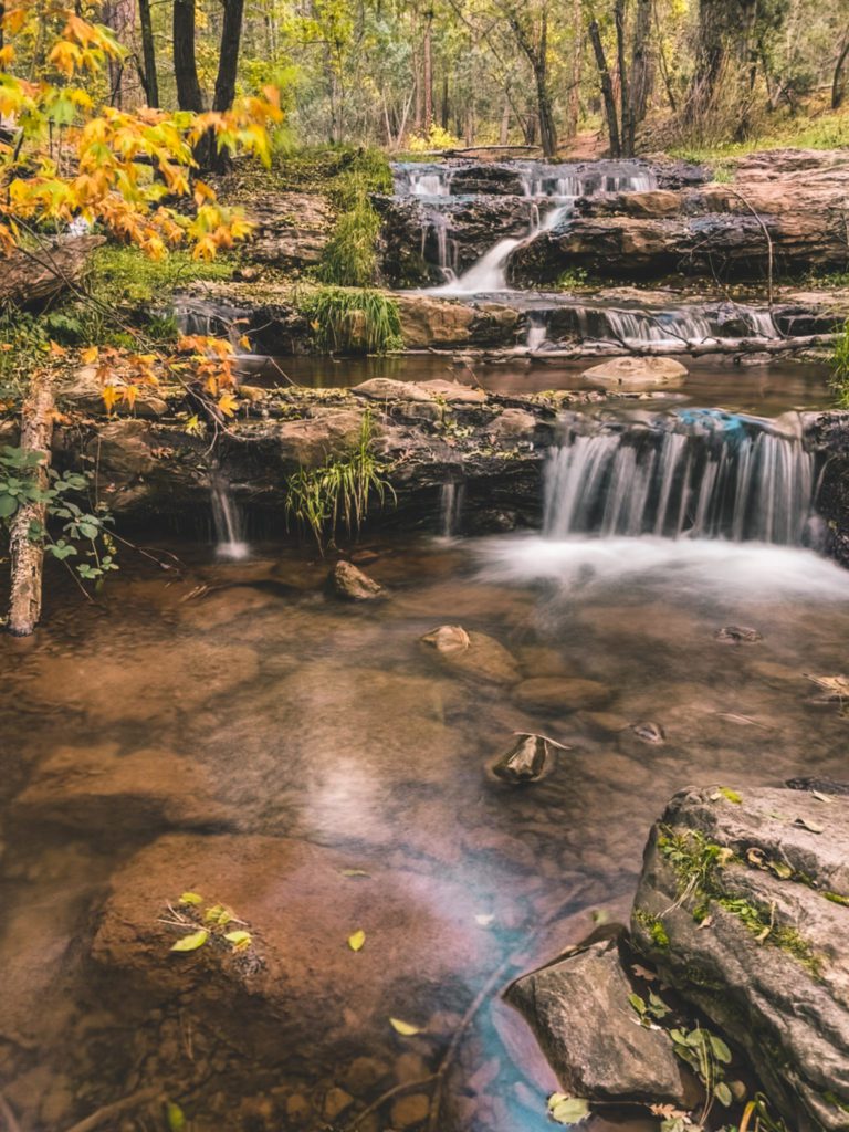
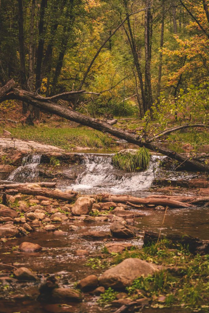
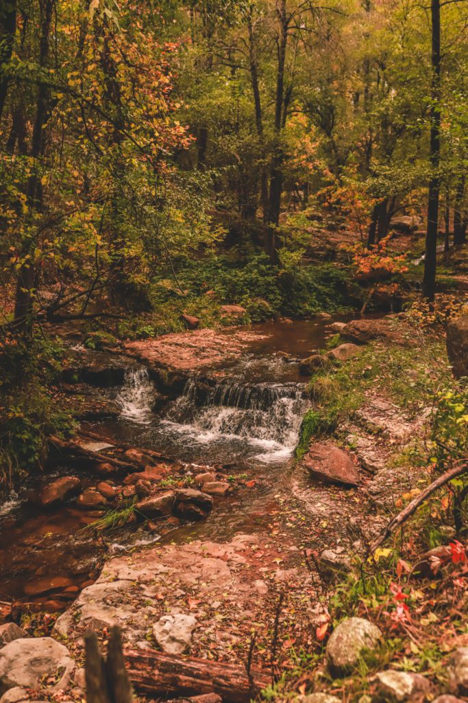
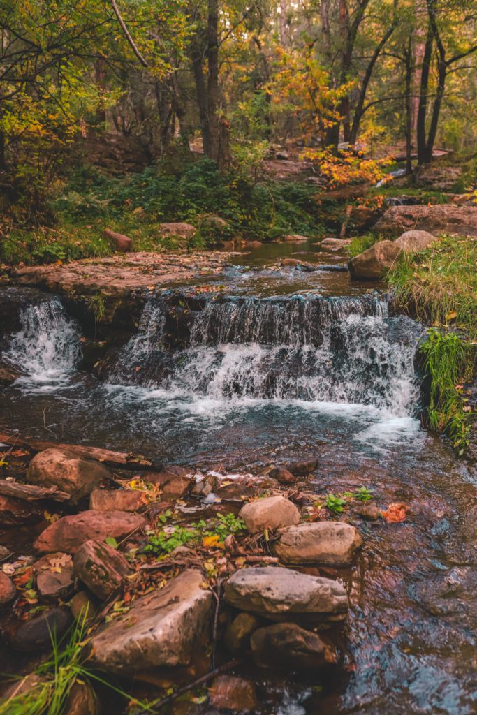
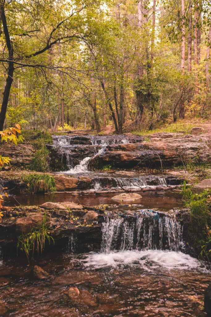
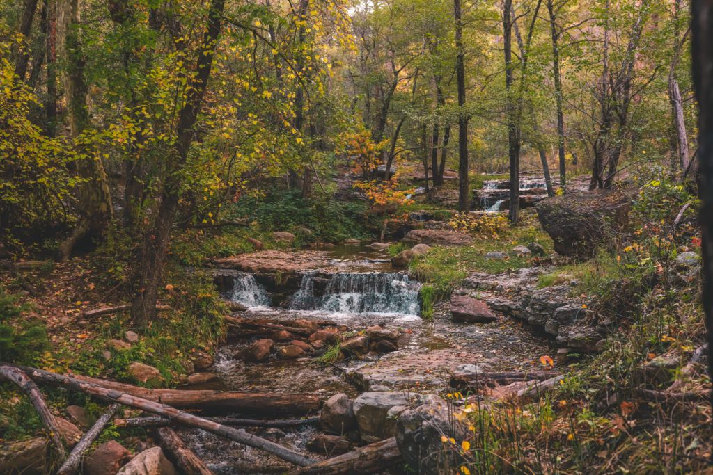
The river begins to widen a little more as you make your way upstream. After about 0.9 miles, you’ll encounter the first series of small cascading waterfalls.
If you continue along the official trail, it follows through the forest up above the river.
However, at this point I would recommend making your way down to the water and following the path along the side of the creek instead.
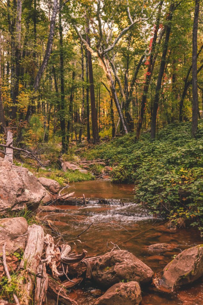
Although it is slower to follow along the creek, it is so serene to be surrounded by the sounds of nature and the babbling creek.
The trail is especially beautiful in the fall when the leaves are changing and it isn’t as crowded.
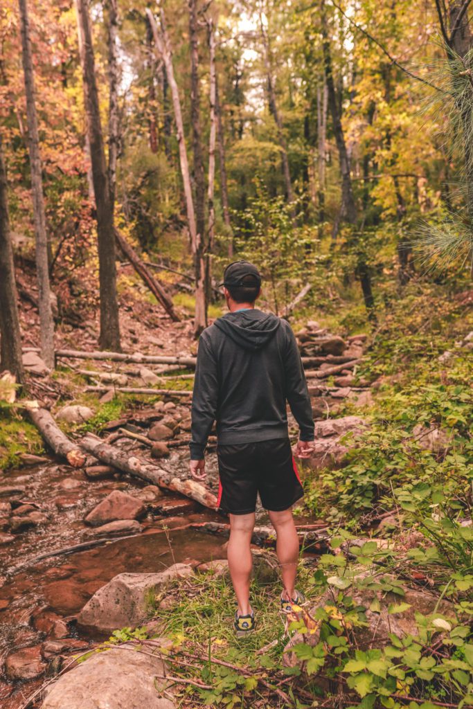
You may need to hop across rocks and cross the river a few times, but you should be able to manage it without getting your feet wet.
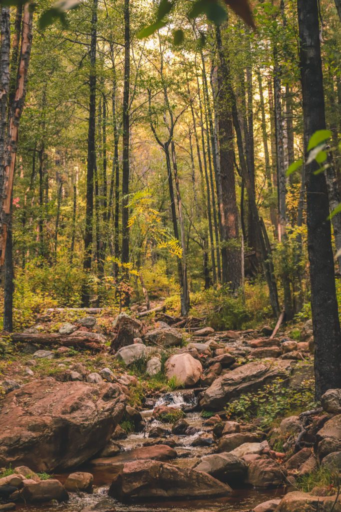
As you continue upstream, you’ll discover countless small waterfalls all along the way.
It looks like something you would see in a painting. This particular set of falls was about 1.15 miles up the trail and it was our favorite, but the entire trail is just beautiful.
We actually only made it about 1.5 miles up the trail before the sun was starting to set and we needed to make our way back.
If you continue, the trail begins to have a steeper incline after the 2-mile mark as you make your way up to the rim.
The last mile has a significant elevation gain of 1,534 feet with switchbacks leading up to the top of the rim.
The trail is not as clear at this point, so it is important to download the map offline before you go.
Once you reach the top, you’ll have sweeping panoramic views but the main highlight will be the Horton Spring.
Here you’ll see the fresh ice cold spring water bubbling up out of an underground cave.
For directions to the springs, refer to this hiking guide.
At the top of the rim, the Horton Creek Trail ends at the Highline Trail.
You can either follow the trail back the way you came, or you can make it a loop trail by continuing on the Highline Trail to the Derrick Trail and then back to the parking lot.
If the entire Horton Creek Trail seems a bit intimidating because of its length, I would recommend just hiking a portion of the trail along the creek.
Not only is this part of the trail easy, but you’ll also be rewarded with beautiful scenery all along the way!
And if you’re looking for more things to do in the area, check out our Strawberry Travel Guide.
[convertkit form=3250084]
I hope this guide will help you to know what to expect when hiking the Horton Creek Trail. Here are some other travel guides that you might be interested in:
- Blue Ridge Reservoir: An Arizona Hidden Gem
- A Local’s Guide to Pinetop Arizona
- 7 Underrated Spots in Arizona
Pin it for later:


[…] to do near Payson, including visiting Tonto Natural Bridge, swimming at Fossil Springs, hiking the Horton Creek Trail, or the Water Wheel Falls […]