Hiking to the summit of Flatiron needs to be on everyone’s Arizona bucket list!
Although it is a challenging hike, it is also every bit as rewarding. Here are some tips and everything you need to know before hiking Flatiron.
Everything you need to know before hiking Flatiron
Table of Contents
- Trail information:
- Where is Flatiron located?
- How do I get to the Flatiron Trailhead?
- What should I bring when hiking Flatiron?
- Can kids hike Flatiron?
- What to expect while hiking Flatiron
- Other things to do in Lost Dutchman State Park
Trail information:
- Distance: 6 miles out and back
- Estimated time: 5-6 hours
- Rated: Difficult
- Elevation gain: approximately 2,800 feet
- Fees: $10 per vehicle day use. Cash or cards are accepted.
- Amenities: Restrooms and water fill stations are available at the campground near the trailhead.
Where is Flatiron located?
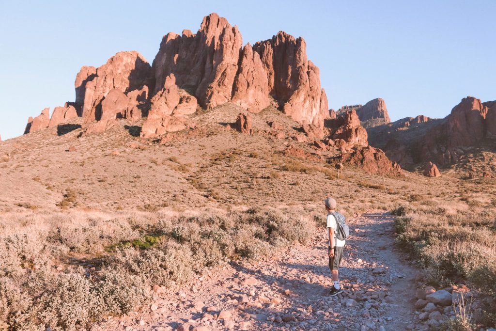
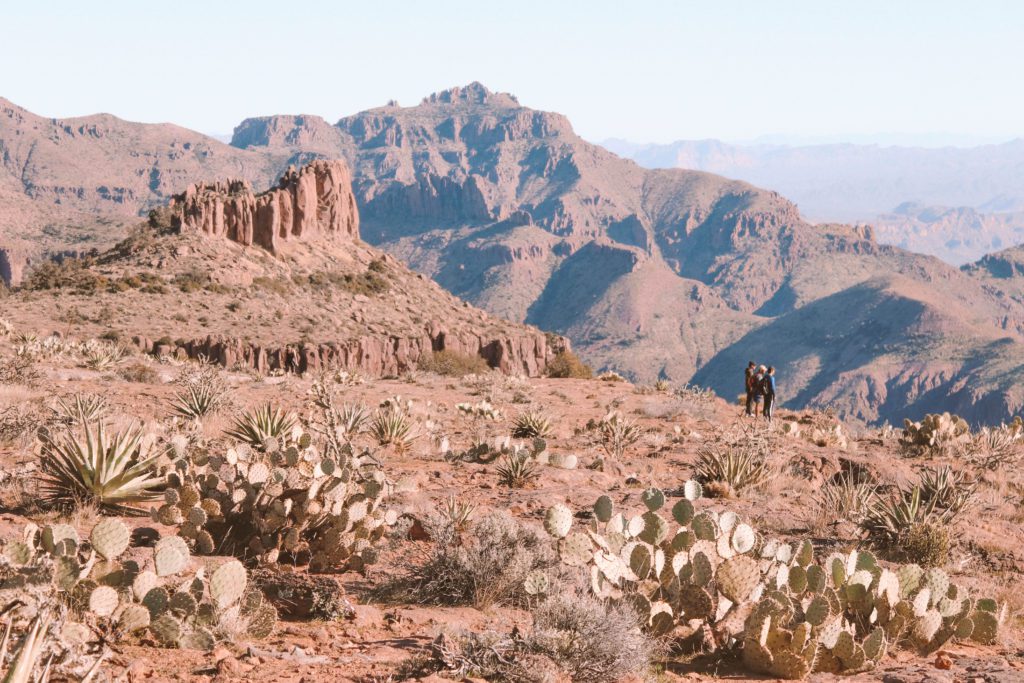
Flatiron is a towering peak in the Superstition Mountain range that is named for its resemblance to an iron that is used to press clothes.
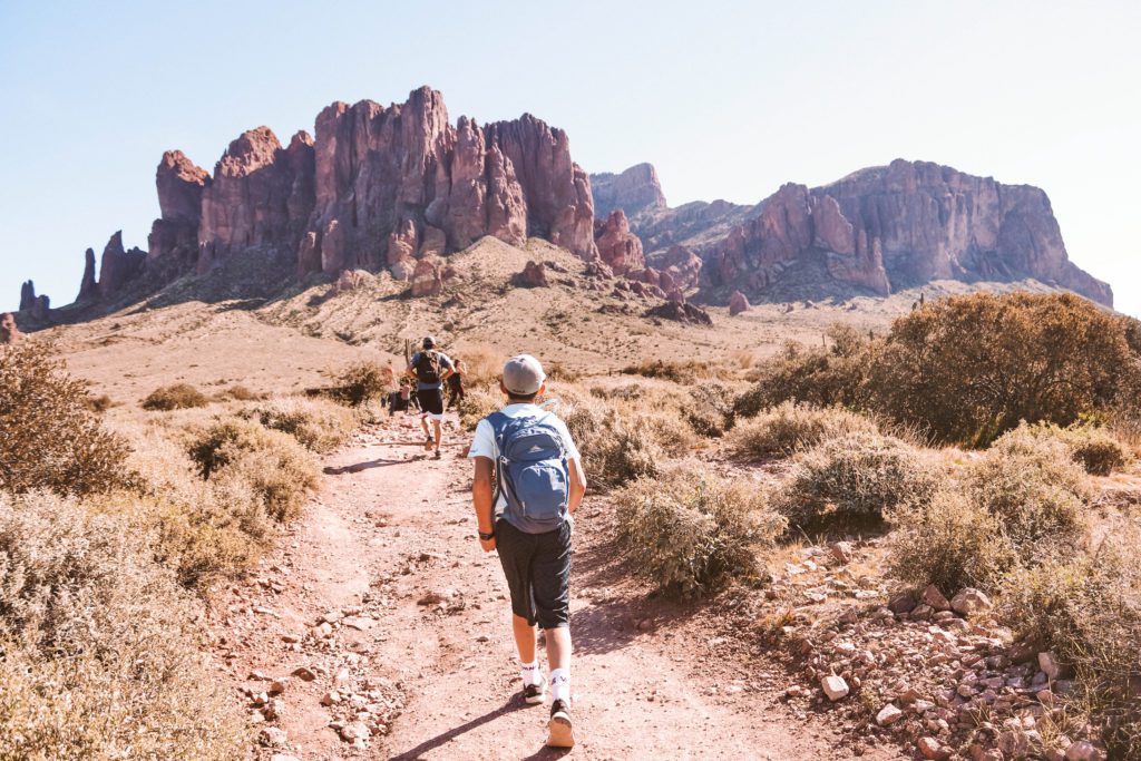
You can see the peak pointing upwards just to the right of the mountains in the background of the photo below.
The trail is located about 40 miles east of Phoenix in the Lost Dutchman State Park within Tonto National Forest. The park is located just outside the town of Apache Junction in Arizona.
How do I get to the Flatiron Trailhead?
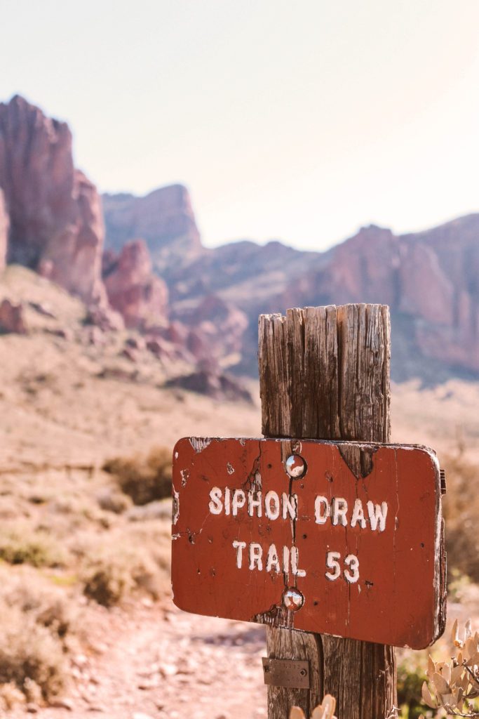
Once inside the Lost Dutchman State Park, you’ll head to the last parking lot and look for signs directing to the Siphon Draw trail.
There is a restroom with flush toilets and stations for filling water bottles near the trailhead.
To reach the Flatiron Summit, you will take the Siphon Draw Trail that connects to the Upper Siphon Draw Trail leading to the summit.
What should I bring when hiking Flatiron?
- Sturdy hiking shoes with good traction. Preferably with ankle support as there are a lot of loose rocks on the trail.
- Climbing gloves would be helpful during the last mile as you are climbing up and over rocks and boulders. It also helps protect your hands if you slip, which we all did.
- Hiking poles would also be useful for maintaining balance with the loose rocks.
- Bring plenty of water, a hydration pack is highly recommended. Water refill stations are located near the restrooms at the trailhead.
- You’ll be burning plenty of calories and working up an appetite so be sure to pack protein bars and snacks that you can enjoy at the top.
- Bring a light jacket if you’re hiking during the winter. You won’t need it much during the hike since you’ll be working up a sweat, but once you reach the summit and the breeze hits your damp skin it can get chilly.
- The first part of the trail is exposed, so bring a hat, sunscreen, and SPF chapstick.
Can kids hike Flatiron?
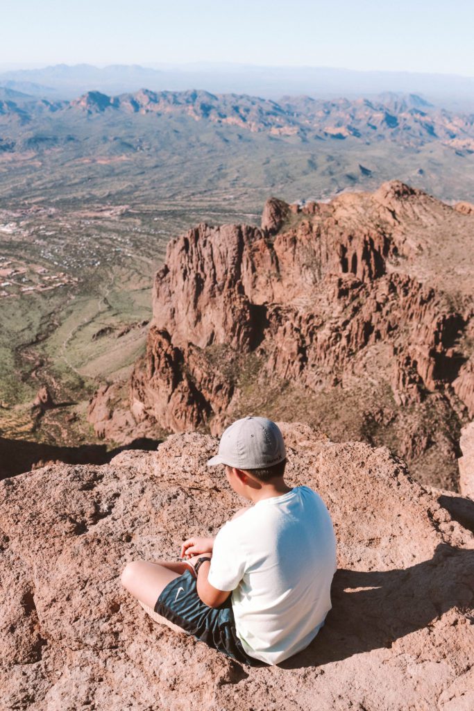
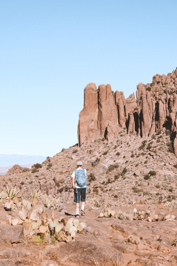
We took our 11-year-old son and he loved the challenge of climbing the rocks at the end.
However, due to the nature of the trail, I would not recommend hiking with children under the age of 10.
As a side note, I was so impressed with how many older people we saw on the trail. We met a man at the summit who has hiked Flatiron 150 times since his retirement!
What to expect while hiking Flatiron
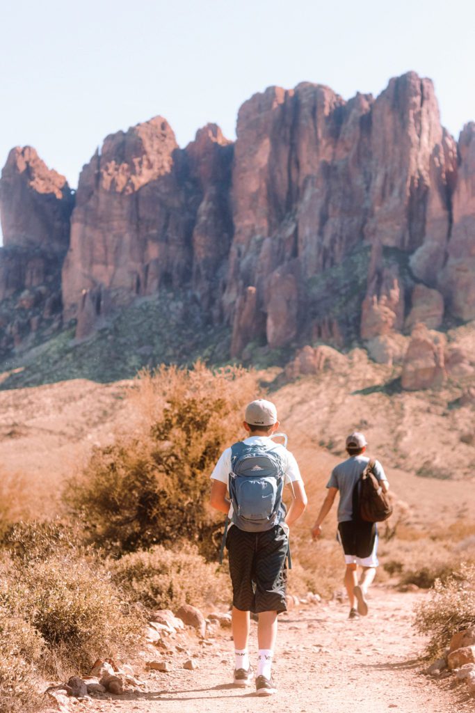
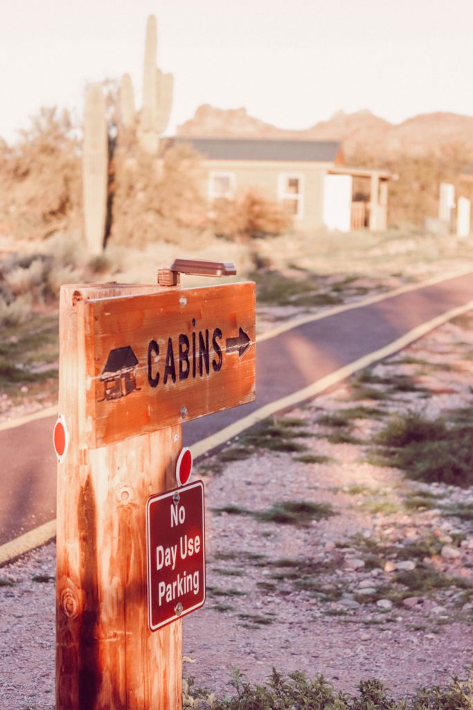
The Siphon Draw Trailhead is located near the campground and cabins. The beginning of the gravel trail traverses through the Sonoran Desert landscape.
You’ll notice a mild elevation gain as you get near the Superstition Mountain Range.
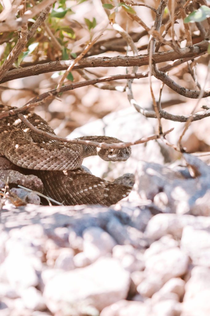
Keep an eye out for rattlesnakes, the Superstition Wilderness is their home. This guy was hiding in a bush just off the trail then slowly slithered across the path and was on his way.
There is about an 800-foot elevation gain for the first 2 miles of the trail as you make your way to the basin. But get ready, because from here, the last mile will have an elevation gain of about 2,000 feet.
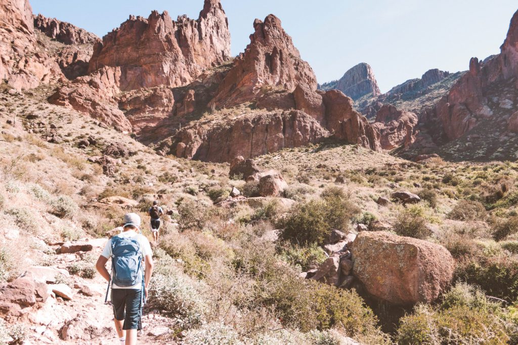
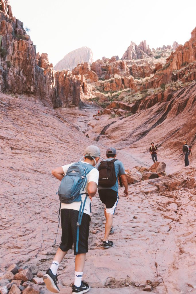
The slick rock basin is a beautiful area nestled in the shadows of the rugged cliffs and you can see the peak looming straight ahead.
You’ll even find a running waterfall and stream after recent rains. Just use caution as the slippery rocks are dangerous to climb.
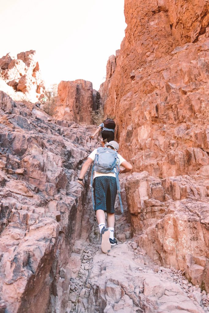
The basin marks the end of the Siphon Draw trail. To continue up to the Flatiron summit, you’ll follow the rocky crevice upward for an additional mile on the Upper Siphon Trail.
This portion of the trail is not maintained by the park.
It’s relatively easy to find the way up, mostly due to the fact that the trail is heavily trafficked. There are also dots and arrows painted on rocks to mark the trail.
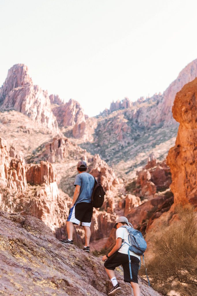
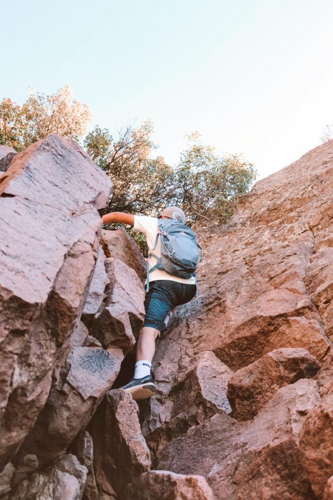
As you begin ascending the last mile, you’ll notice a drastic change in the trail conditions. Instead of a gradual incline, you will be climbing up and over boulders and scaling up the steep mountainside.
There are no switchbacks, which are generally more of an aerobic workout. Instead, you’ll be practicing a lot of muscle exertion.
Your legs may start to feel like Jello, and you may even be surprised just how sore your arms are for several days after the hike!
It is slow going, and many parts only allow for one hiker to pass at a time, which is actually a nice excuse to stop and rest.
As we neared the final ascent, everyone coming down kept cheering us on and telling us that the view was totally worth the effort.
The last challenge you’ll face is a 12-foot rock wall. Just take your time securing your hand and footholds, and know that you are almost there!
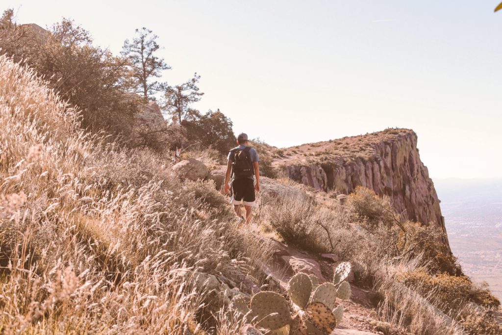
Once you make it over the wall, you’ll follow an easy trail to the expansive summit of Flatiron.
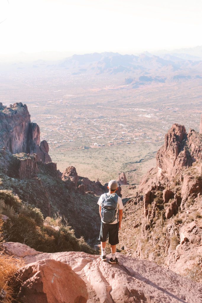
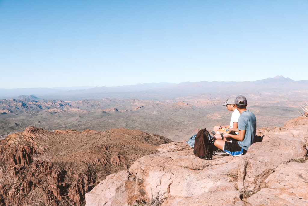
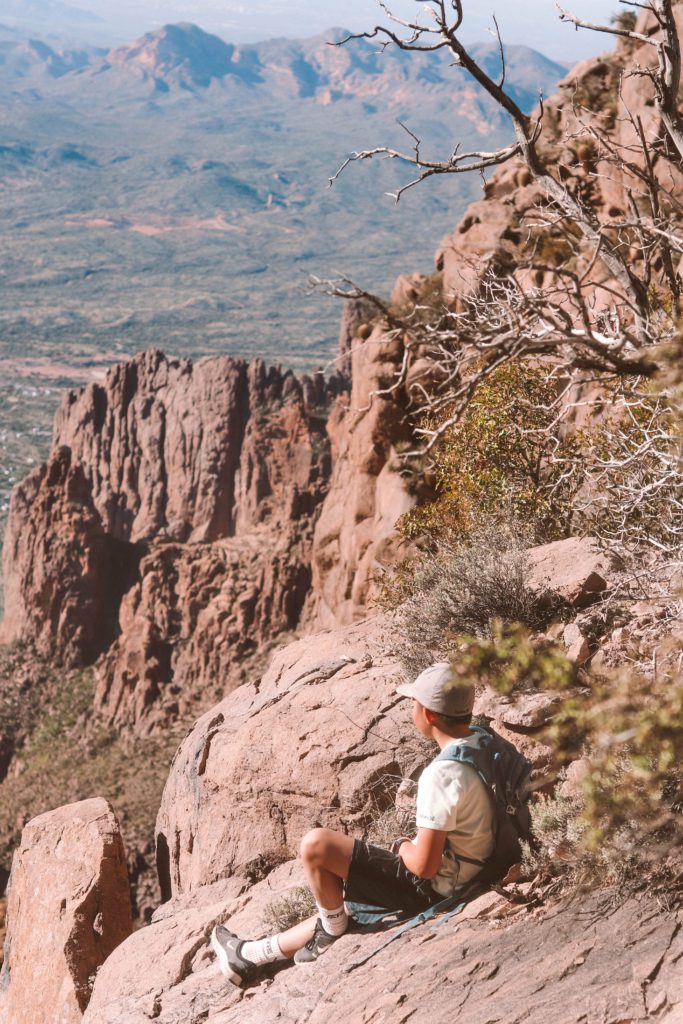
The landscape is scattered with cactus and native plants and you’ll experience a surreal moment as you take in the remarkable view.
It is so calm and peaceful and the cliff is large enough that it’s easy to find a secluded spot to take it all in.
It is definitely one of the most challenging hike in the Phoenix area. Another challenging and rewarding hike is the Piestewa Peak Summit Trail, which is ranked as the #1 hike in Phoenix.
*Related post: For another awesome hike in Phoenix, check out the Hidden Valley via Mormon Trail at South Mountain!
Like the people on the trail said, the view is more than worth all the effort it takes to get there!
Take your time and enjoy a well-earned snack break before heading back down.
Just use extreme caution with all the loose rocks on the steep downward descent.
Sometimes going down is harder on your body than going up, you will definitely feel it in your knees!
I could barely get out of the car when we got home and could feel it every time I walked up and down the stairs. But it was so worth it and I would do it again in a heartbeat!
Hiking Flatiron truly is one of the most challenging yet rewarding hikes in Phoenix. If you’re looking for more trails, see our guide 7 of the Best Hikes in Phoenix for recommendations.
Other things to do in Lost Dutchman State Park
There are six other hiking trails in the Lost Dutchman State Park. Our favorite hike with kids is the Treasure Loop Trail.
Campsites and cabins are also available for reservation.
Waking up with the Superstitions out your window and falling asleep under the clear starry sky is a pretty memorable experience.
Goldfield Ghost town is also located just down the road. It’s one of several Ghost Towns in Arizona.
If you are hiking on a Saturday, you will most likely hear gunshots echoing off the cliffs from the gunfight shows held at Goldfield. It’s a fun and unique place to stop and learn the history of this gold-mining region.
Lost Dutchman State Park is located along the Apache Trail, one of the most scenic drives in Arizona. See our guide The Best Stops on the Apache Trail for more recommendations.
If you’ve hiked Flatiron before, I would love to know your thoughts in the comments! Let me know what other hikes you love in the Phoenix area as well!
Other posts you might like:
- 101 Family-Friendly Things to Do in the Phoenix East Valley
- Cibecue Falls: Arizona’s Best Kept Secret
- Arizona Travel Guides
Pin it for later:




[…] hiking trails: Camelback, Flat Iron, Hieroglyphics, Wave […]