Sedona is one of the premier hiking destinations in Arizona. You’ll find an endless landscape of red rock formations, hidden caves, and breathtaking overlooks. There are countless trails to explore, but here are 6 of the best hikes in Sedona that can’t be missed!
*Updated January 2025
*Disclosure: This post contains affiliate links. If you book a guide through the link provided, we will earn a small commission at no extra cost to you. Thank you for your support!
6 of the Best Hikes in Sedona
Table of Contents
- Birthing Cave Trail
- Devil’s Bridge Trail
- Cathedral Rock Trail
- West Fork Trail
- Fay Canyon Trail
- Soldier Pass Trail
Birthing Cave Trail
- Distance: 2 miles out-and-back
- Difficulty: Easy to Moderate
The Birthing Cave Trail is one of the best short hikes in Sedona. The trail is short and easy, but has a big payout!
You don’t need a Red Rocks Pass to hike here, and you do not need to take the shuttle bus. To reach the trail, park at the Long Canyon Trailhead where you’ll find a small parking lot on the side of Long Canyon Road.
There aren’t designated spots, and it can probably only fit about 8-10 vehicles so plan to arrive early to snag a spot. There is also limited parking on the side of the road, or you can park at the Mescal Trailhead and take the 0.5-mile Mescal Connector trail to the Long Canyon Trail.
You’ll start out on the Long Canyon Trail. The sandy trail is relatively flat and easy to follow with an elevation gain of only 232 feet.
After about 0.6 miles you’ll come to a fork in the trail. It’s not an obvious fork, but you’ll see a wooden sign pointing straight ahead to continue on the Long Canyon Trail, but you’ll want to take the trail to the LEFT to go to the birthing cave.
It’s best to just follow the AllTrails map, but since there is no cell service here I recommend upgrading to AllTrails Pro so that you can download the map to use offline.
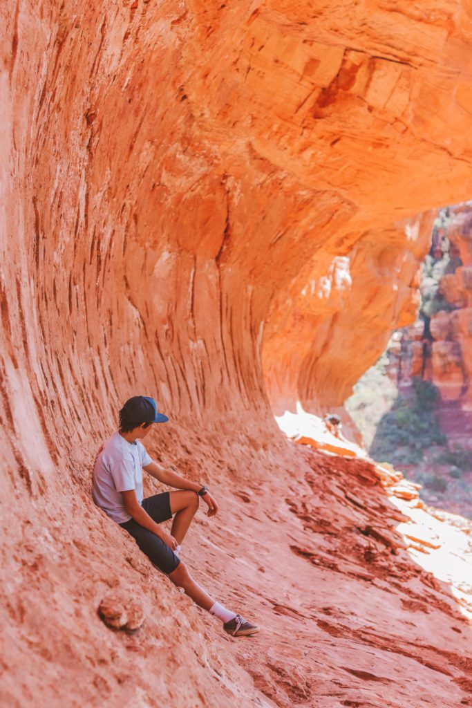
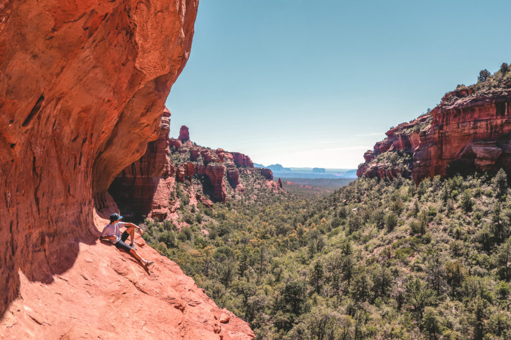
After the fork, you’ll continue for about 0.4 miles until you see the cave formation. From the front, it looks a lot different than what I had imagined. It looks almost like a heart shape from the front, but from the inside it looks like a tear drop.
The only real elevation on this trail is at the end when you’ll need to scramble up to reach the cave. It isn’t too difficult and is worth the effort.
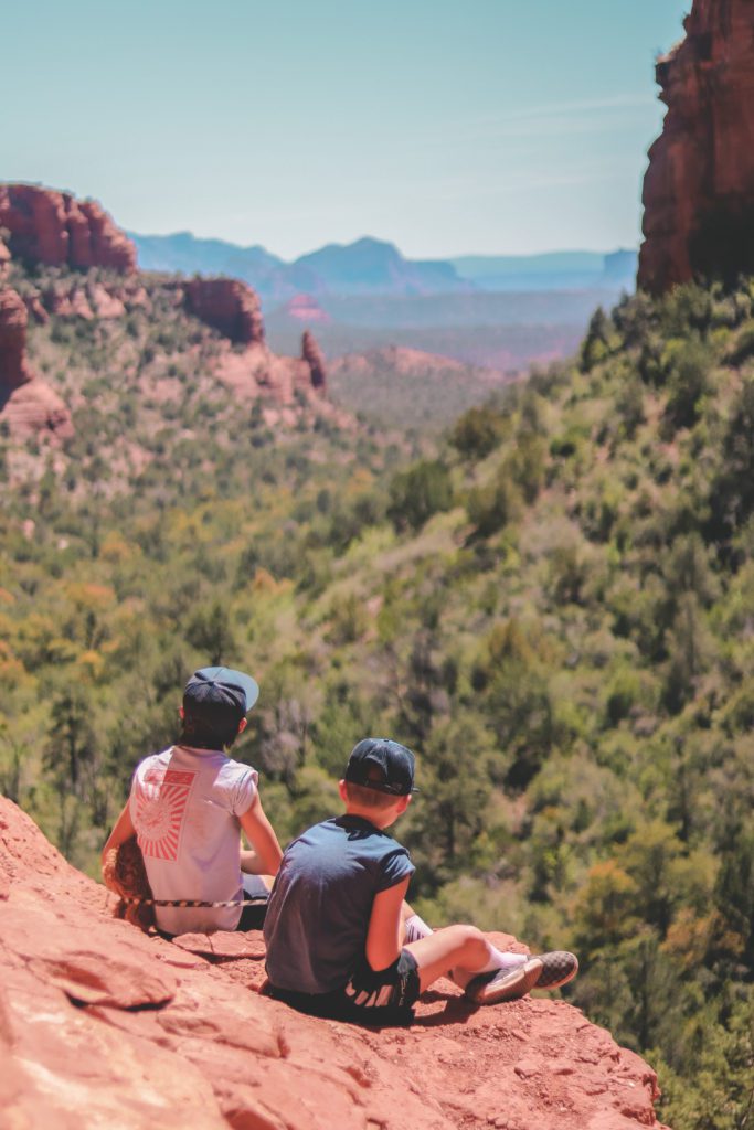
Once you get inside, you’ll need to climb up to a small nook in the very back of the cave to get the full view. It can be quite slippery, so use caution. It’s such a cool cave with incredible views across the landscape!
We arrived at the trail at 8 am in the winter and had the cave to ourselves for a little bit. As we were leaving, the trail was a lot more crowded, so the earlier you can get there the better!
If you’re wondering about the name, it is believed that the Hopi women gave birth in this cave. Although, you can’t help but notice that the shape very closely resembles a birth canal so many people believe that is where the name came from!
Regardless of how it got its name, this area is an important archaeological site. If you go a little further up the trail there are some Native American ruins. Always be respectful and practice Leave No Trace principles.
Devil’s Bridge Trail
- Distance: 3.9 miles out and back
- Difficulty: Moderate
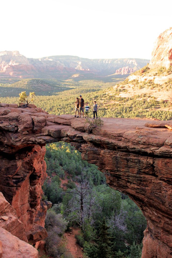
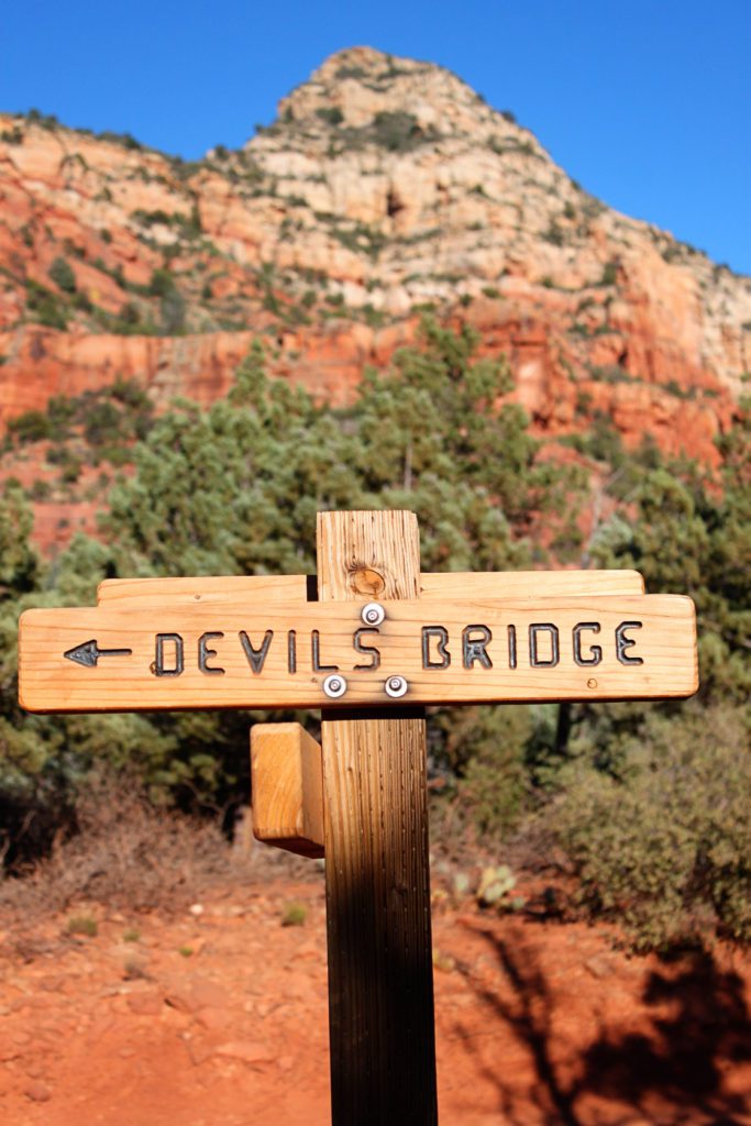
The Devil’s Bridge Trail is one of the most popular hiking trails in Sedona.
It leads to the largest sandstone arch in the Coconino National Forest. Visitors can actually walk on top of the bridge to capture that iconic Sedona photo.
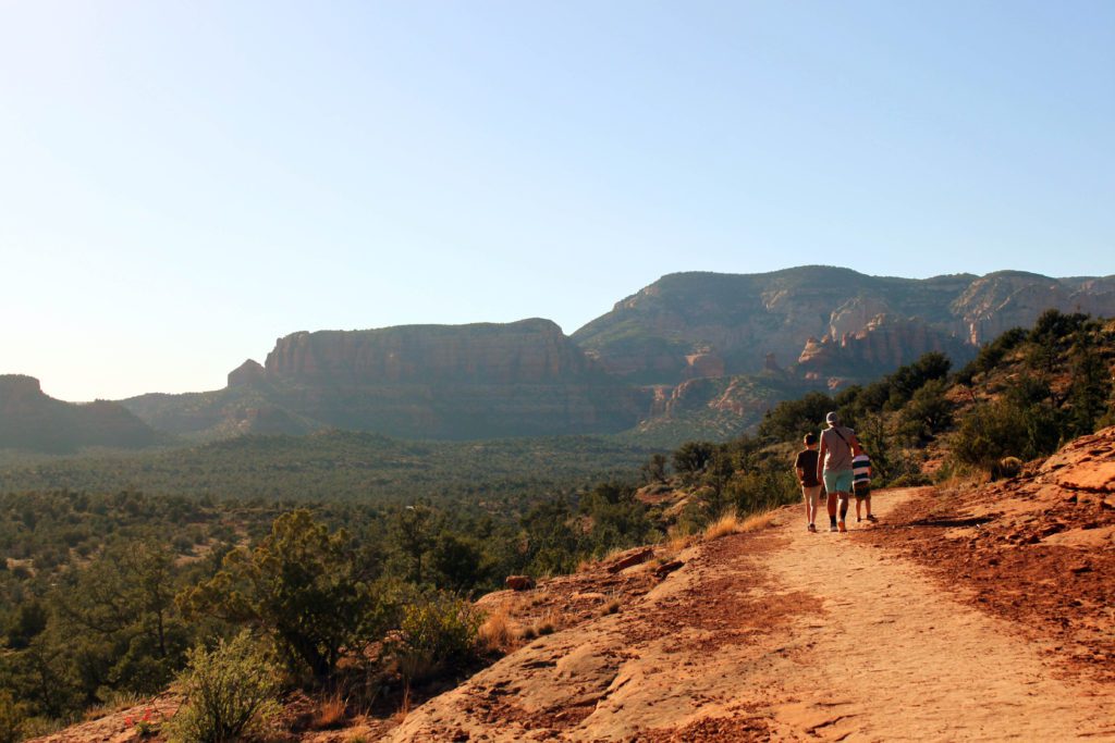
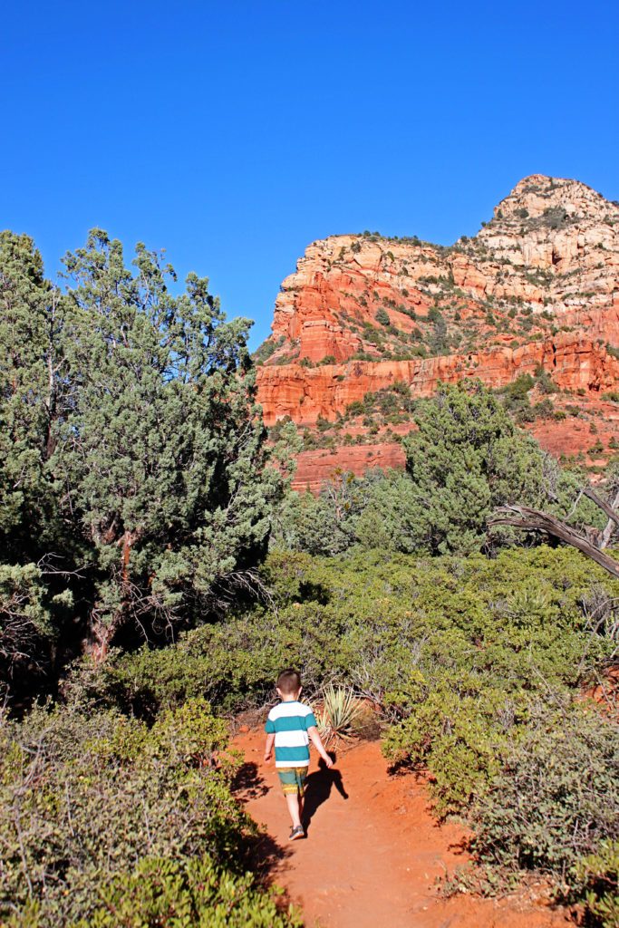
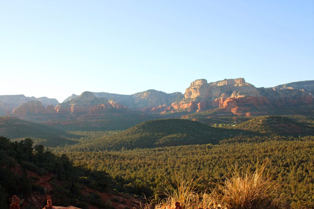
The entire trail offers scenic views of the surrounding red rock country and desert landscape.
The trail is not too difficult with only a 520-foot elevation gain. It follows along an old jeep trail and through a sandy wash before gradually ascending up to the bridge.
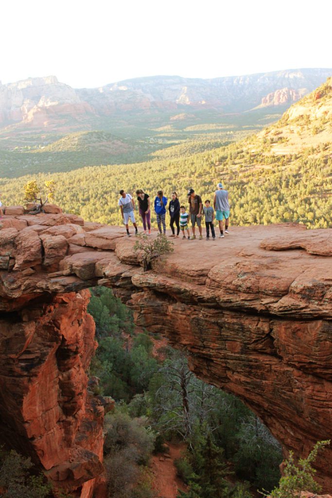
Once you reach the base of the bridge, there is a steep natural rock staircase leading to the top. This is a very popular trail and you will most likely have to wait in line to get your photo on top of the bridge.
It is best to come early in the morning or later in the evening to avoid the bulk of the crowds. During peak times, you’ll have to wait around 30-45 minutes to get a photo on the bridge.
There is little shade on the trail, so avoid hiking during the summer months and be sure to bring plenty of water.
To reach the trailhead, you’ll need to park at the Dry Creek Vista parking lot and then walk 1 mile along the rugged Dry Creek Road (FR 152) to reach the official trailhead.
I would recommend upgrading to AllTrails Pro so that you can download the map offline. There is very limited cell service and this will alert you if you are going off trail.
If you have a high-clearance 4WD vehicle, you can drive along Dry Creek Road to reach the trailhead then it’s only 1.7 miles round trip from there.
If you are planning to visit Thursday through Sunday anytime throughout the year, you’ll need to take the Sedona Shuttle from the designated park & ride location in town. It runs daily during spring break and peak tourist season. Check the site for an updated schedule.
The shuttle is free to ride and it is free to park at the park & ride lot.
Cathedral Rock Trail
- Distance: 1.2 miles out and back
- Difficulty: Challenging
Cathedral Rock is a close contender for one of the best hikes in Sedona.
If you only have time for one hike, this is often recommended as the one hike you should do in Sedona.
Although the trail is relatively short, it packs a big punch. It will leave you breathless, both from the views and the intensity.
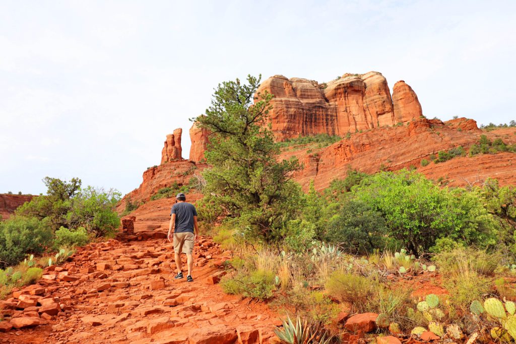
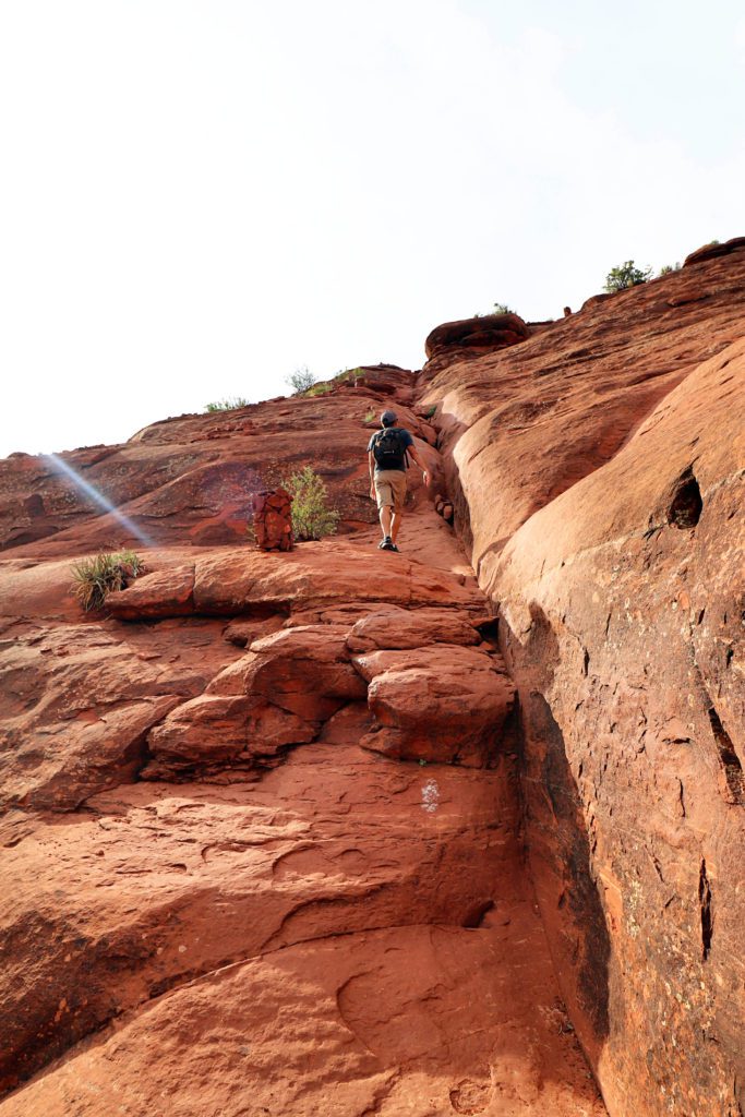
It is quite steep, and in some portions you’ll be rock climbing more than you are hiking.
You’ll find natural rock staircases along the trail and some areas that require climbing with your hands while using hand and footholds.
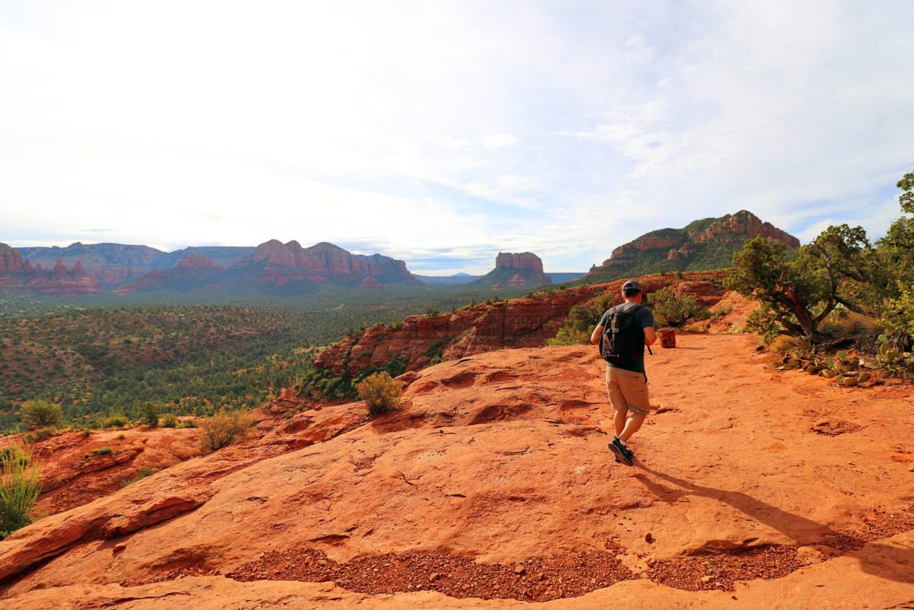
The trail traverses up the open red rock, so it is not always clear where the trail is. However, it is a heavily trafficked trail so it is easy to just follow the other hikers.
The trail is also intermittently marked with cairns and white painted dots.
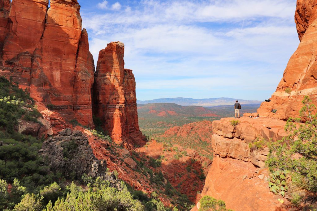
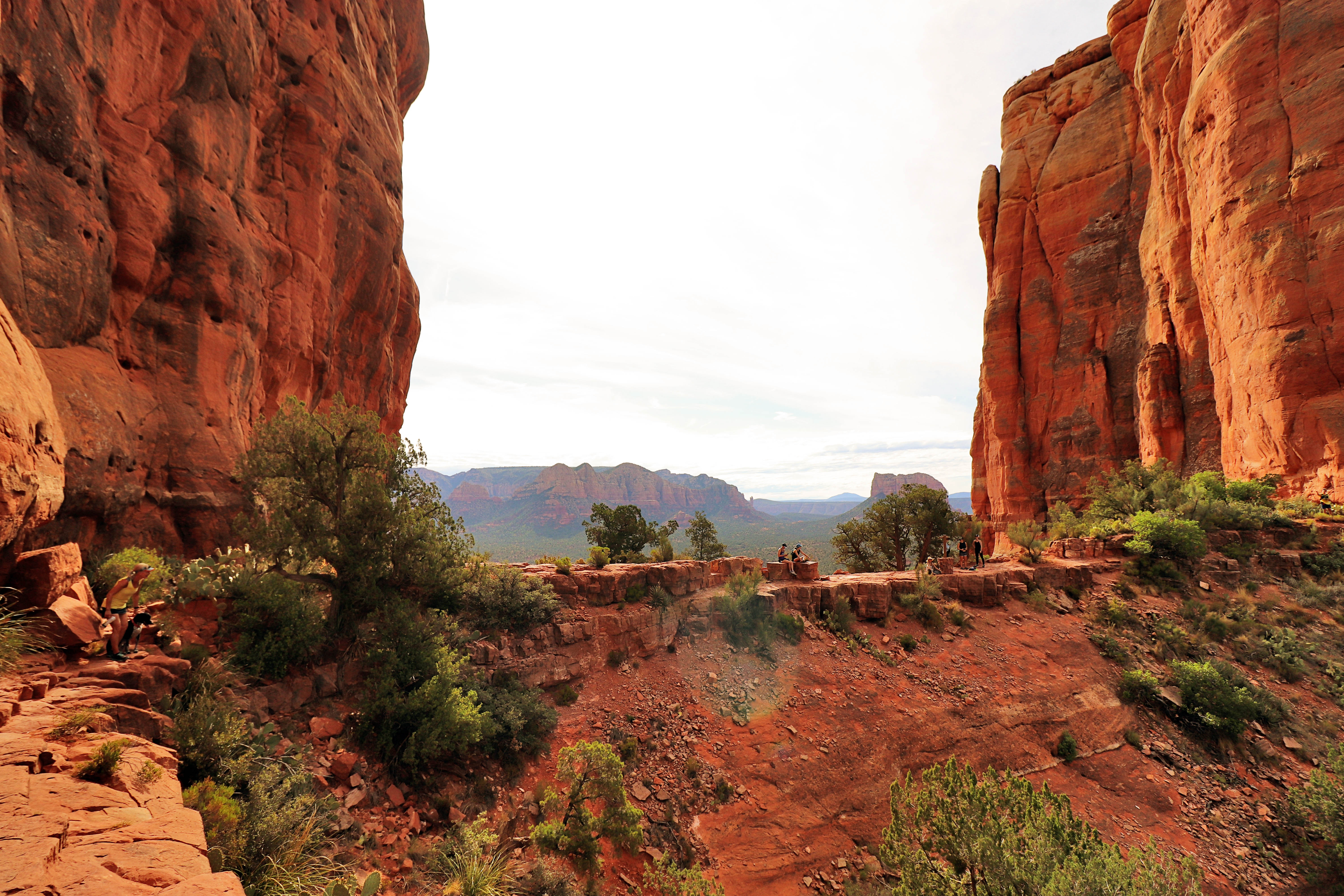
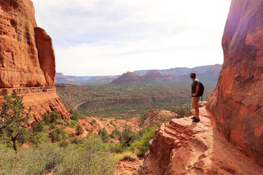
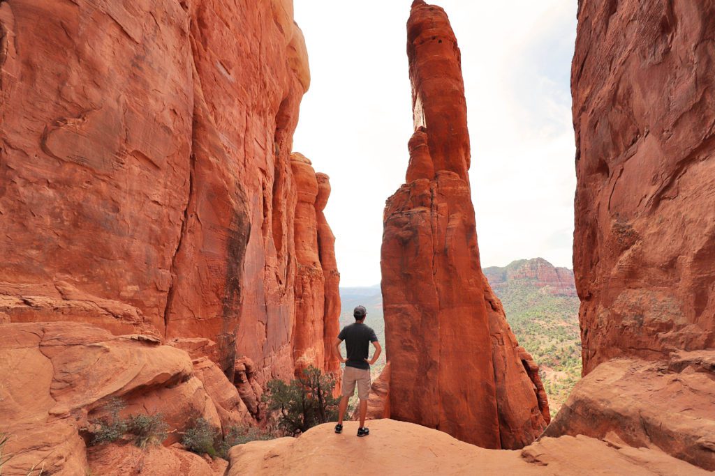
When you reach the top, you’ll come to a saddle point with a sign that reads “End of the Trail”. The view here is remarkable!
Your effort will be rewarded with sweeping vistas of the imposing red rocks and the valley below.
If you head to the left, you’ll come to another viewpoint with towering pinnacles. After you take in the views, return down the same route.
As an interesting side note, Cathedral Rock is also the world-renowned site for one of the most powerful vortexes on earth.
You’ll need to take the Sedona Shuttle to the trailhead if you are visiting Thursday-Sunday year-round, or during spring break and summer.
The trail is also fully exposed so bring plenty of water and sunscreen and avoid hiking during the heat of the summer months.
West Fork Trail
- Distance: 6.5 miles out and back
- Difficulty: Moderate
The West Fork Trail in Oak Creek Canyon is rumored to be one of the top 10 trails in the US. In fact, the stretch of road through Oak Creek Canyon to reach the trailhead was even ranked as one of the top five scenic drives in America by Rand McNally, so it’s one you don’t want to miss!
This trail offers a change of scenery from the typical red rock hikes found in Sedona.
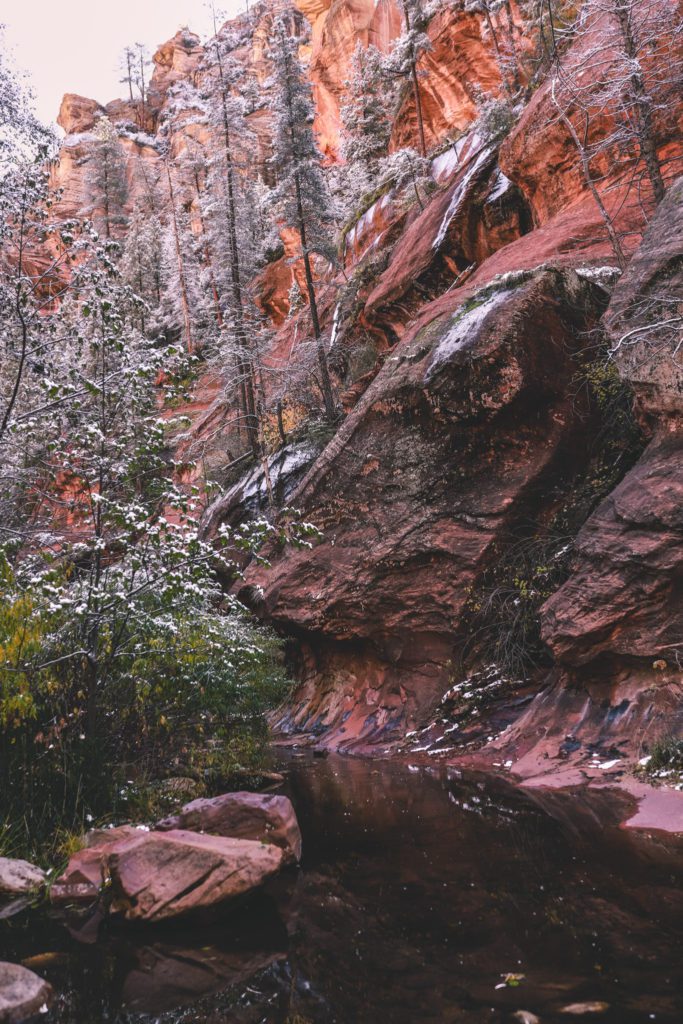
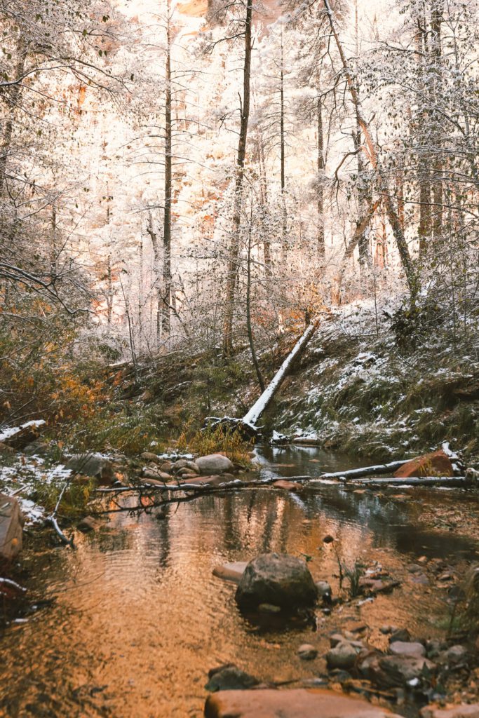
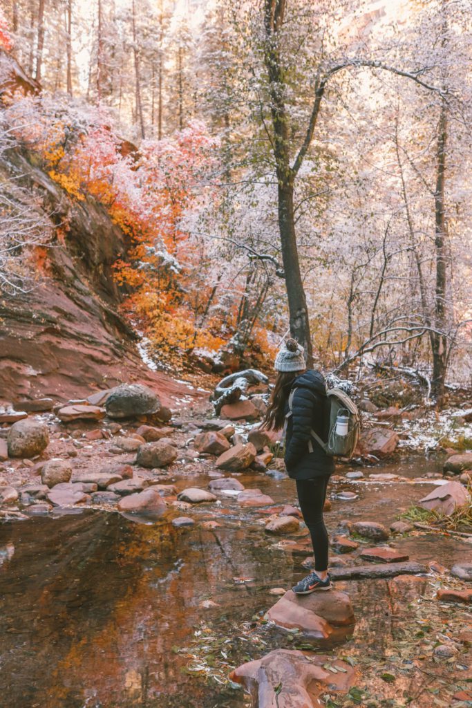
The West Fork Trail follows through Oak Creek Canyon along the banks of Oak Creek. The scenic trail is surrounded by swaying oak trees and towering cliffs.
What makes this trail extra special is that the canyon is spectacular in every season.
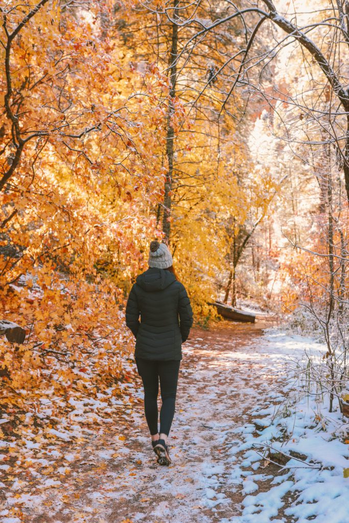
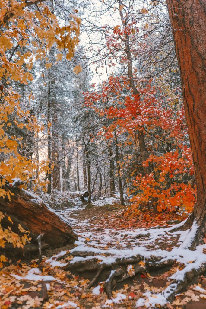
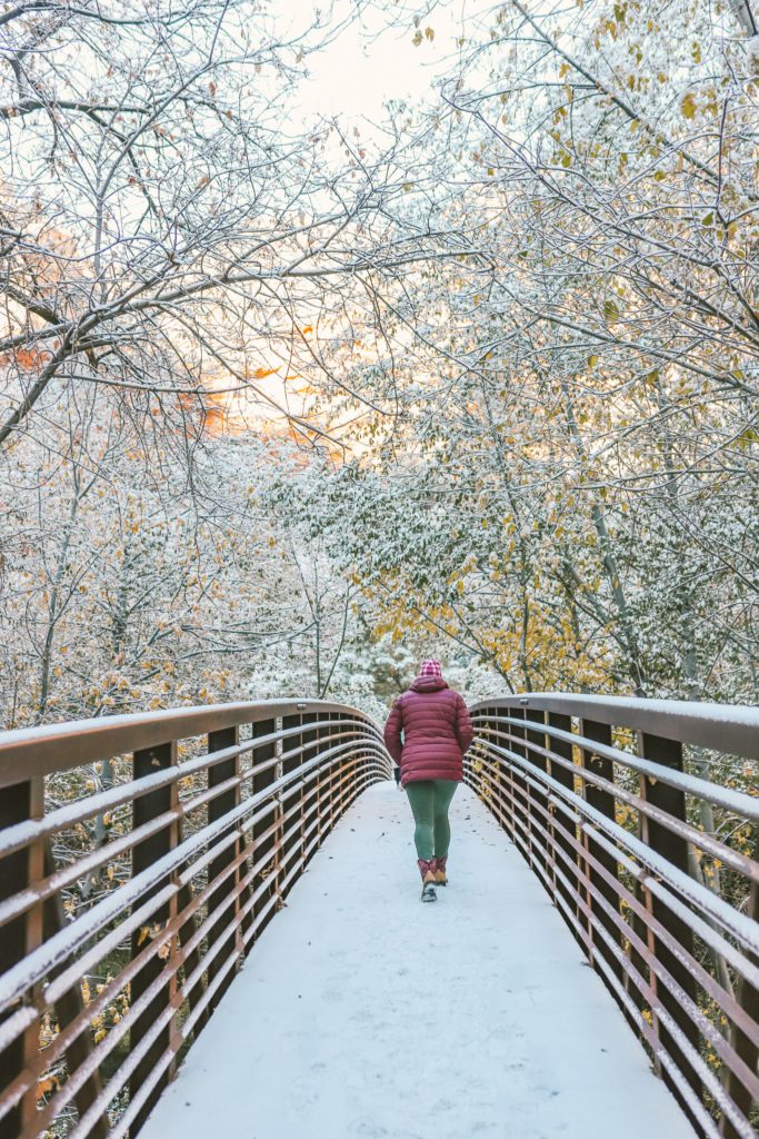
You’ll find blossoming trees in the spring, lush greenery in the summer, vivid autumn leaves in the fall, and sometimes you’ll even be treated with a dusting of snow in the winter.
Its beauty is what inspired the notable author, Zane Grey, to write his novel Call of the Canyon.
The trail is relatively flat and easy and offers unique scenery as you traverse between canyon walls and across the creek.
The moderate trail rating comes from the 13 river crossings along the way, so plan to get your feet wet.
If the river is low enough you can usually hop across the rocks, but I would still wear sturdy water shoes or lightweight tennis shoes that dry easily. Hiking poles will also come in handy.
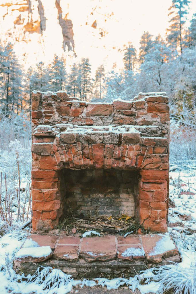
At the beginning of the trail, you’ll pass through trees and meadows and before long, you’ll encounter the remains of the old Mayhew Lodge.
Between 1923-1968, the lodge catered to notable guests such as Pres. Herbert Hoover, Jimmy Stewart, and Walt Disney. Clark Gable even celebrated his anniversary here!
The lodge closed in 1968 and sadly burned down in 1980 after the property was acquired by the Forest Service.
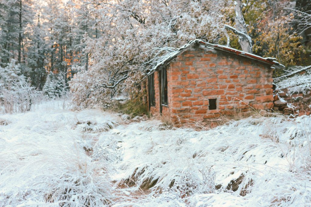
You’ll also find the remains of Bear Howard’s cabin which was built in 1870.
Howard’s friend was mauled to death by a bear, so he took it upon himself to hunt and kill every bear in this canyon. This sad turn of events is what earned him his nickname “Bear”.
The Thomas family later moved into the cabin where they made a few additions and planted an apple orchard. They have posted informational signs detailing the history of the area that are interesting to read.
To reach the trailhead, you’ll park at the Call of the Canyon day-use area.
The short Call of the Canyon trail starts at the parking lot, weaves through the orchard, and crosses a bridge before transitioning into the West Fork Trail.
This is a very popular trail and the lot consistently fills up by 9:30 am, so plan to arrive early. Parking is $12 per vehicle for up to 5 people, and $3 for each additional person.
Check the Forest Service site for more information, including seasonal hours and trail updates.
Fay Canyon Trail
- Distance: 2.3 miles out and back
- Difficulty: Easy
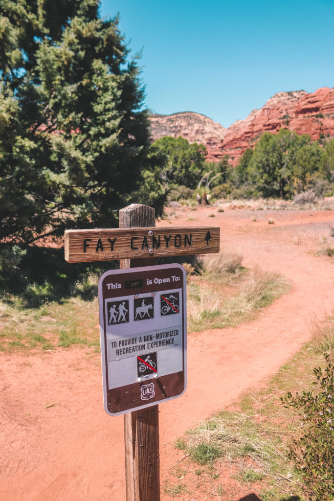
The Fay Canyon Trail is a leisurely hike along the base of a box canyon. It follows along a dry creek bed lined with juniper and oak trees.
About 0.5 miles up the trail, you’ll come across an unmarked spur trail. If you follow it for about 0.6 miles, you’ll reach a large sandstone arch.
The trail is not well marked. However, it is marked on the AllTrails map so I would recommend using AllTrails Pro so that you can download the map as there is no service.
Up until this point, the trail is pretty but there’s nothing too remarkable.
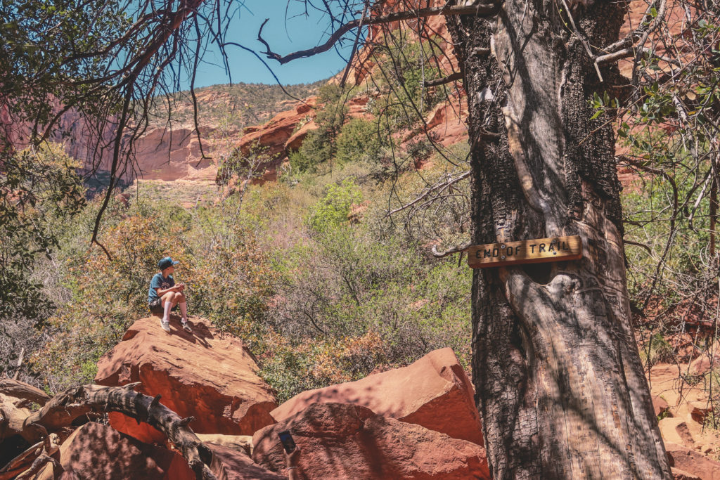
But once you reach the end of the canyon, you’ll see a sign marked ” End of Trail”. If you keep going past the sign, you’ll discover a hidden gem.
You’ll see a big rock that is a popular spot to climb up for a better view. From here, you’ll see a backcountry trail that leads a little deeper into the canyon.
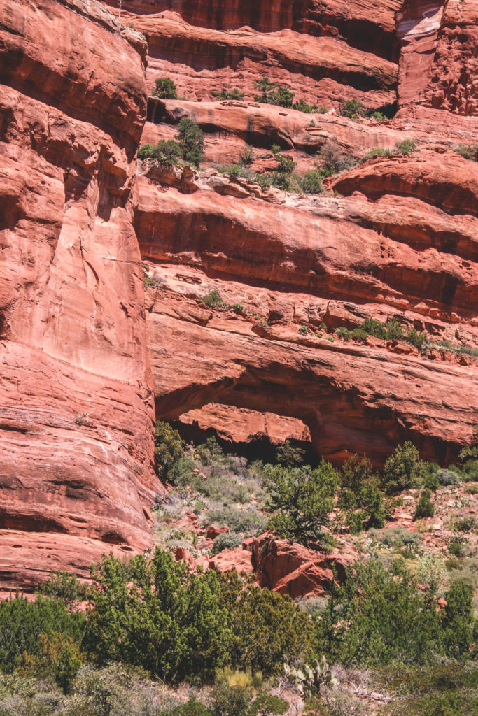
If you stay to the right, you’ll soon come to a large secluded alcove that has been carved out of the towering 1200-foot Supai sandstone cliffs. This is known as Half Moon Cave.
Use caution as you scramble up to the alcove, but once you get there you will witness one of the best views in Sedona.
From here, you can look out over the canyon and even catch a glimpse of Cathedral Rock in the distance. The best part is that you will most likely have this view all to yourself.
The Fay Canyon Trail is a popular and busy trail, but not many people venture up to the cave.
Just keep in mind that although the designated Fay Canyon Trail is rated easy, it will take some effort to scramble up these rocks at the end.
For more details and information, see our complete guide to Hiking Fay Canyon Trail.
Soldier Pass Trail
- Distance: 4.5 miles out and back
- Difficulty: Easy to Moderate
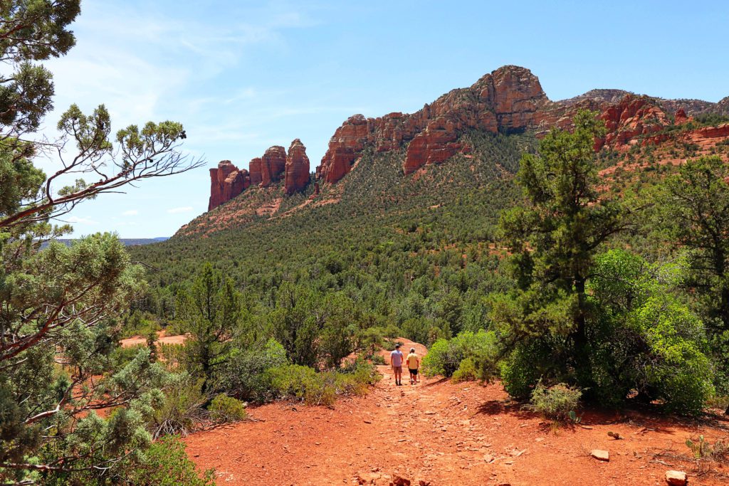
The Soldier Pass Trail is great because there are several unique features all along the way.
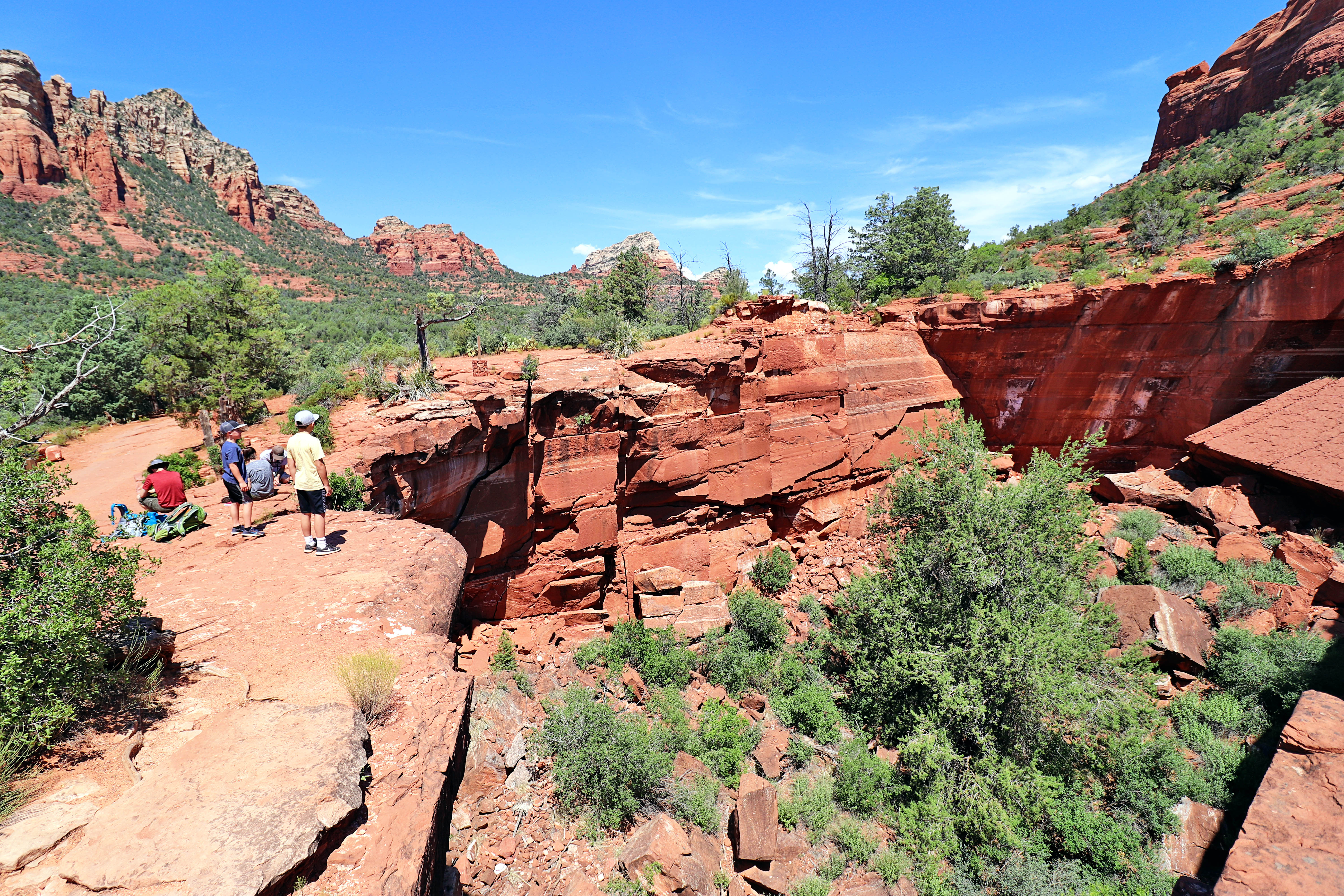
After about 0.2 miles, you’ll come to the Devil’s Kitchen. This is a massive active sinkhole that has collapsed multiple times from 1880-1995.
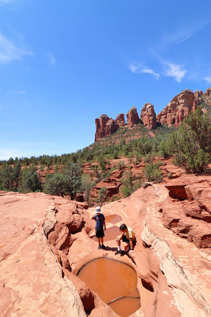
Continue along the trail for about 0.45 miles longer and you’ll reach the Seven Sacred Pools. These pools are one of the most photographed spots in Sedona.
Not only is it a pretty site, but it is baffling how these natural pools are always filled with water, even during times of drought.
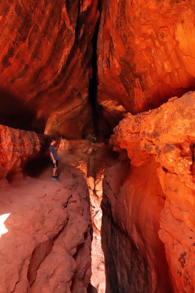
However, the real gem of the trail is the Soldier Pass cave. It was once a secret cave but has become more popular over the years.
You’ll need to take a spur trail to reach the cave and it can be a little tricky to find. It is located 1.3 miles up the trail from the parking lot.
The spur trail is marked on AllTrails, so I would recommend downloading the map offline in order to find it.
I have also included more detailed instructions and photos in our guide, 15 Fun Things to do in Sedona With Kids.
After the cave, you can go back to the main trail and continue on to the pass, or turn back and make your way back to the parking lot.
The parking lot is quite small and is only open Monday-Wednesday. If you are visiting Thursday-Sunday, you will need to take the free Sedona Shuttle.
The shuttle runs every day of the week during spring break and high peak. Check the site for an updated schedule.
If your looking for more things to do in Sedona, check out our guide for the The Perfect Weekend Itinerary for Sedona.
I hope this guide will help you discover some of the best hikes in Sedona! As always, practice Leave No Trace and pack out anything that you pack in.




Leave a Reply