Death Valley is one of the most unique national parks in the US. The 5,200 square mile park straddles the border of California and Nevada and is considered the largest national park in the lower 48 states.
It is known for holding the record as the hottest place on earth when it reached 134 degrees on July 10, 1913. It is also the driest place in North America.
These facts may not do much to convince travelers to add Death Valley to their bucket list.
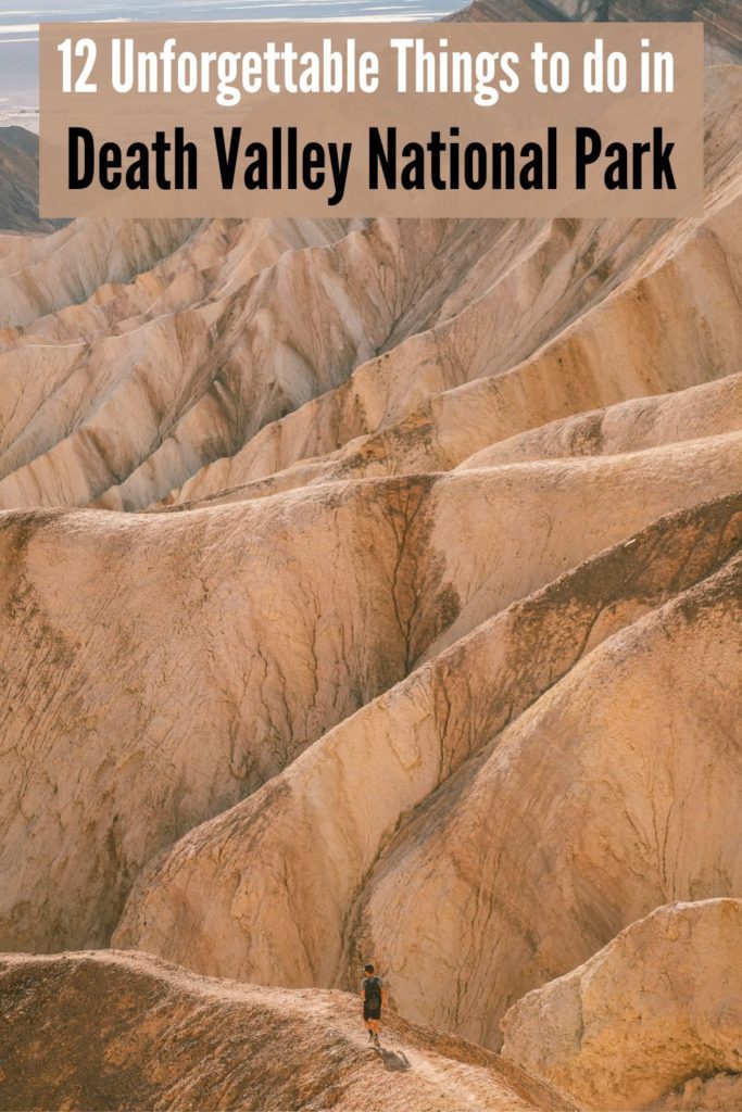
However, if you visit outside of the summer months you’ll discover a vast pastel-colored landscape filled with sand dunes, salt flats, slot canyons, badlands, and so much more.
Keep reading to discover the best things to do in Death Valley National Park.
*Disclosure: This post contains affiliate links. If you make a purchase through the link provided, we will receive a small commission at no extra cost to you. We really appreciate your support!
12 Unforgettable Things to Do in Death Valley National Park
Table of Contents
- 1. Visit Badwater Basin at Sunrise
- 2. Explore Slot Canyons at Sidewinder Canyon
- 3. Hike to Natural Bridge
- 4. Make a Quick Stop at Devil’s Golf Course
- 5. See the Rainbow Hills at Artist’s Palette
- 6. Explore Golden Canyon and Red Cathedral
- 7. Scenic Drive at Twenty Mule Team Canyon
- 8. Watch the Sunset at Zabriskie Point
- 9. Eat Dinner at the Last Kind Words Saloon
- 10. Stay at the Oasis at Death Valley
- 11. Sunrise at Mesquite Flat Sand Dunes
- 12. Bonus: Visit the Wildrose Charcoal Kilns
Before visiting Death Valley, I would highly recommend downloading the free National Park Service App.
The park is quite remote with no cell service, so you’ll want to download the park map beforehand so that you can use it offline.
You’ll also find self-guided audio tours on the app with information about the park highlights.
We used the park map and our own research to find the best things to do in Death Valley and to map out this one-day itinerary.
1. Visit Badwater Basin at Sunrise
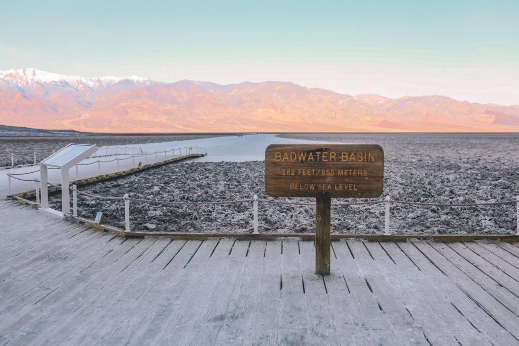
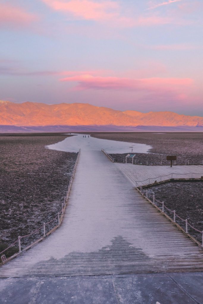
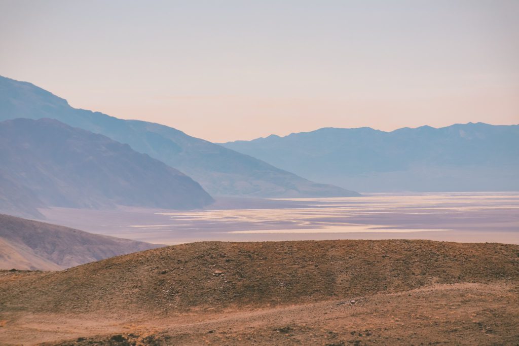
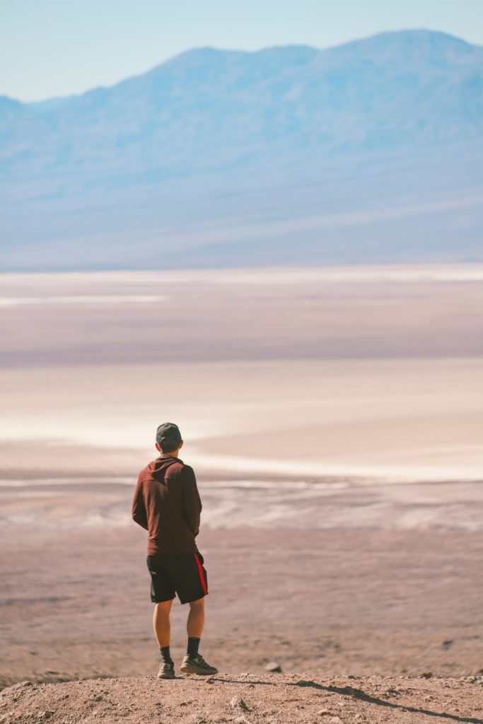
Badwater Basin sits 282 feet below sea level and is known for being the lowest point in North America. The lowest point in the world is the Dead Sea at 1,341 feet below sea level.
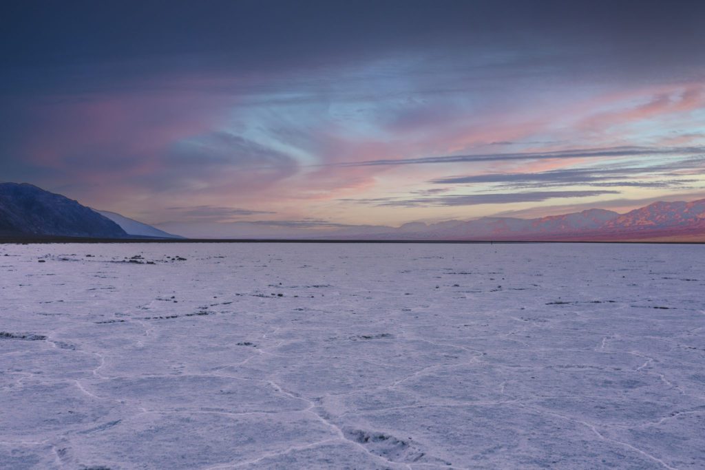
This expansive salt flat covers almost 200 square miles across the base of the valley.
During the Pleistocene Ice Age, this basin was filled with an almost 500-foot-deep lake called Lake Many.
The lake had no drainage outlet so the salt and sediment accumulated over time. The lake eventually evaporated and dried up, leaving behind the unworldly salt flats that are seen today.
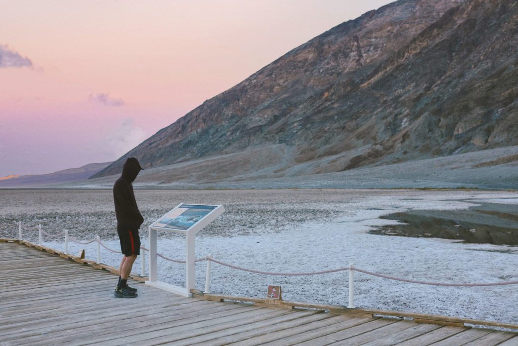
Badwater Basin was supposedly named by an early surveyor who tried to get his mule to drink at the small spring-fed pool that can be found by the boardwalk today.
The mule refused to drink due to the high salinity of the water, which led to the name “Badwater”.
The salt flats can be seen just off the road, but to reach the most scenic part you’ll need to park by the boardwalk and then walk about a mile out onto the salt flats.
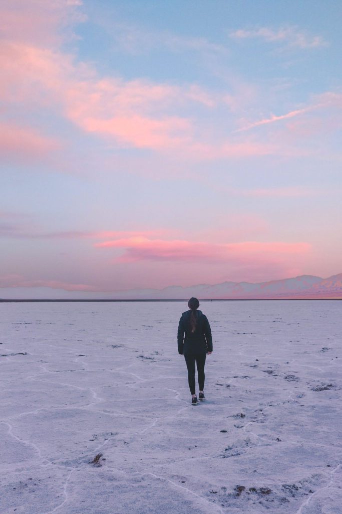
I would highly recommend visiting Badwater Basin at sunrise or sunset.
Not only will you be rewarded with the ever-changing cotton candy pink skies, but you’ll also avoid the crowds and the intense heat of the day.
There is no shade along the trail and the sun can be quite brutal when it is reflected off of the salt flats.
2. Explore Slot Canyons at Sidewinder Canyon
After watching the sunrise at Badwater Basin, head to Sidewinder Canyon to explore some cool slot canyons.
Sidewinder Canyon is located about 15 miles south of Badwater Basin. This is the furthest south that I would recommend going in the park, especially if you only have one day to explore.
When you first pull up to Sidewinder Canyon it doesn’t seem like much. You’ll find a parking area at the base of some hills.
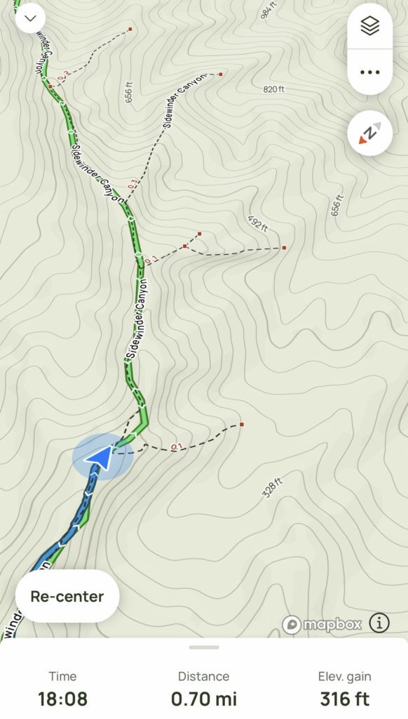
The trail from the parking lot is not clearly marked, I would HIGHLY recommend upgrading to AllTrails Pro. There is no service in the park but with AllTrails Pro you can download the map and use it offline.
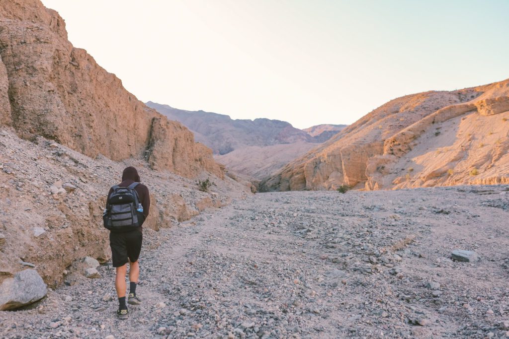
Look for a wash to the right of the parking lot that leads to the mouth of the canyon.
The trail gradually ascends uphill through loose sand and gravel, so it is a bit sluggish.
There is also no shade along this portion of the trail during the heat of the day. This is another great reason to visit early in the morning after catching sunrise at Badwater Basin.
The official trail is 3.9 miles out and back. However, there are spur trails leading to 5 different slot canyons to explore off of the main trail.
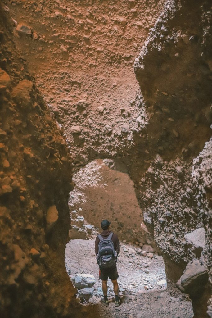
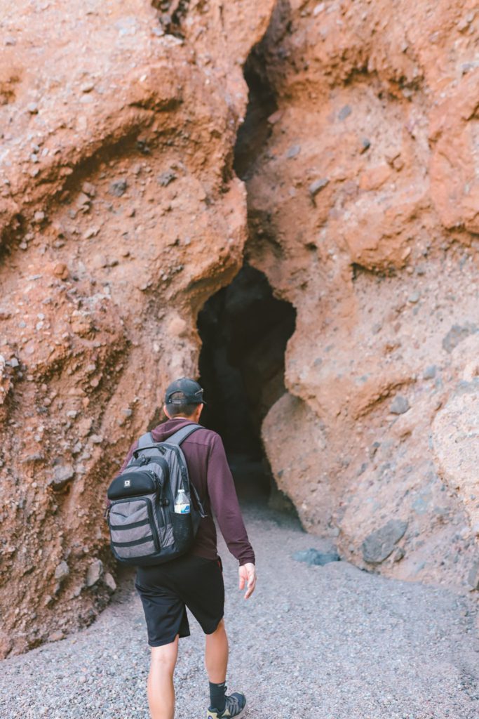
After about 0.7 miles, you’ll reach the first slot canyon on your right.
You can explore about 0.1 miles to the back of the canyon.
The entrances to the slot canyons are not always obvious, so AllTrails Pro really comes in handy.
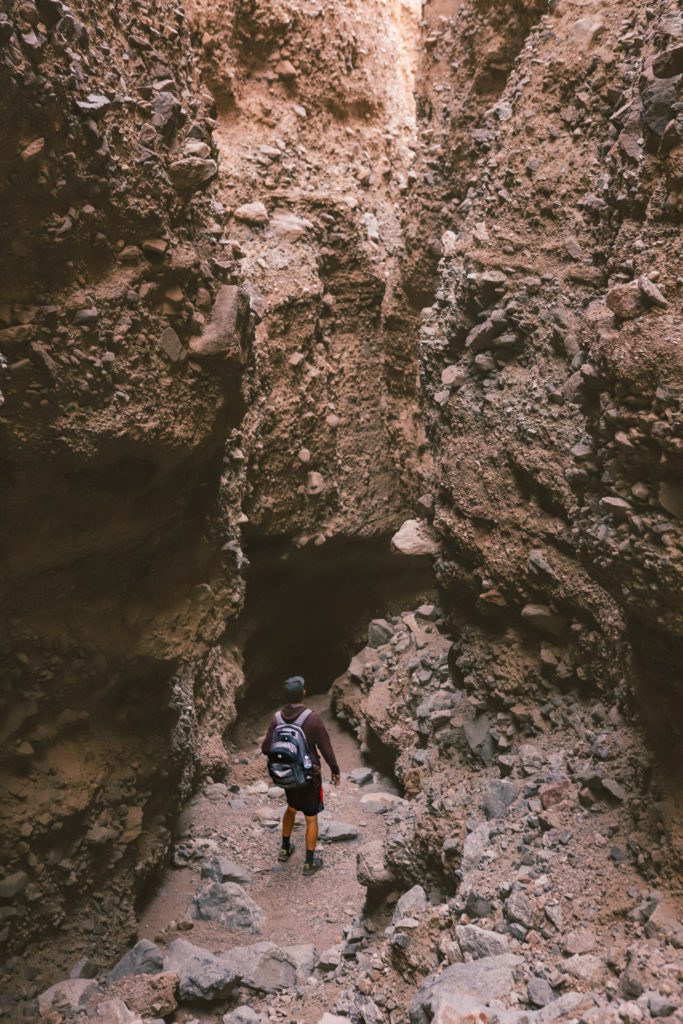
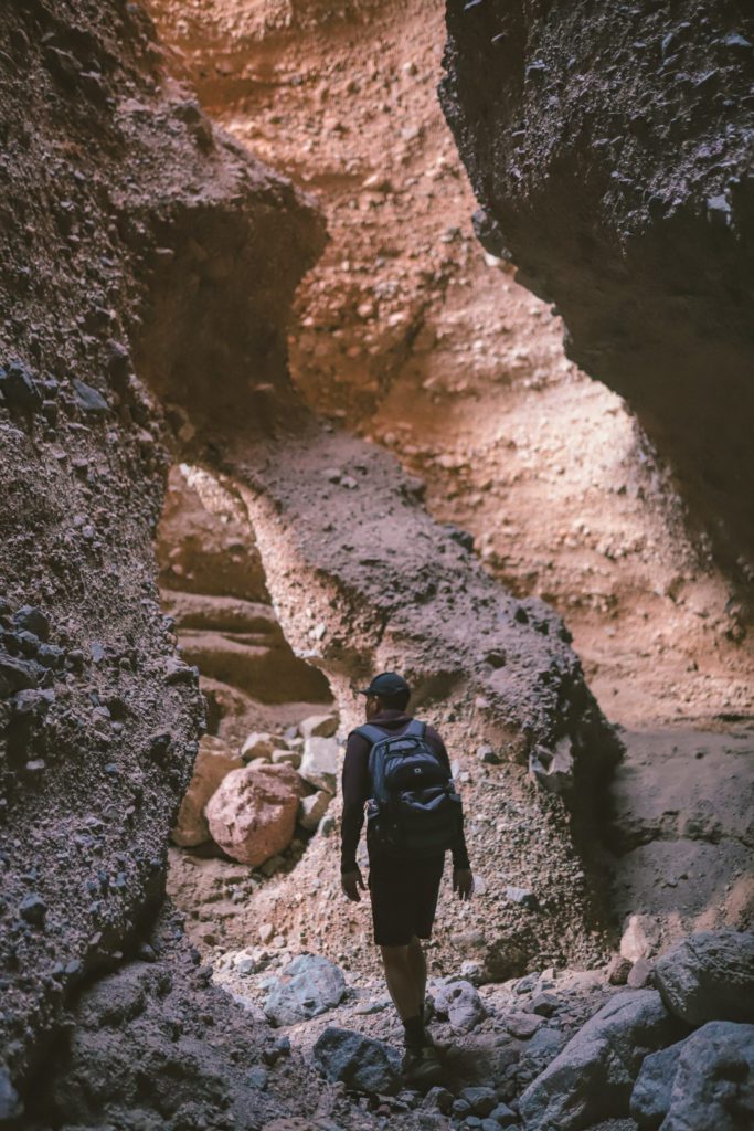
You could easily spend a whole day exploring all of the canyons, but we were short on time so we only went to the first, third, and fourth slot canyons.
The trail ends at the last canyon. Each of the canyons is so unique and also offers a nice respite from the heat.
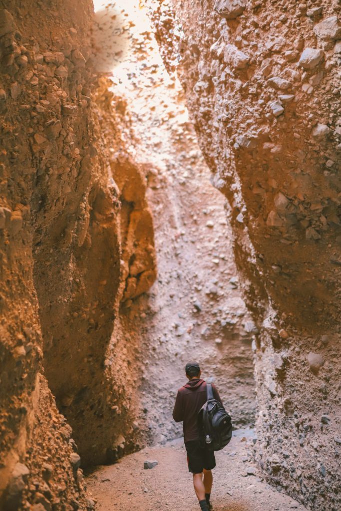
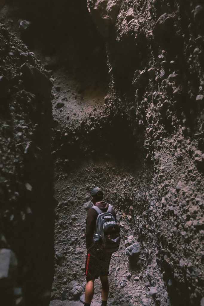
Our favorite was slot canyon #3. The walls are so tall and narrow, blocking out much of the light. It can get quite dark in some places so your phone flashlight will come in handy.
Not only were the slot canyons incredible to explore, but we had the trail virtually all to ourselves.
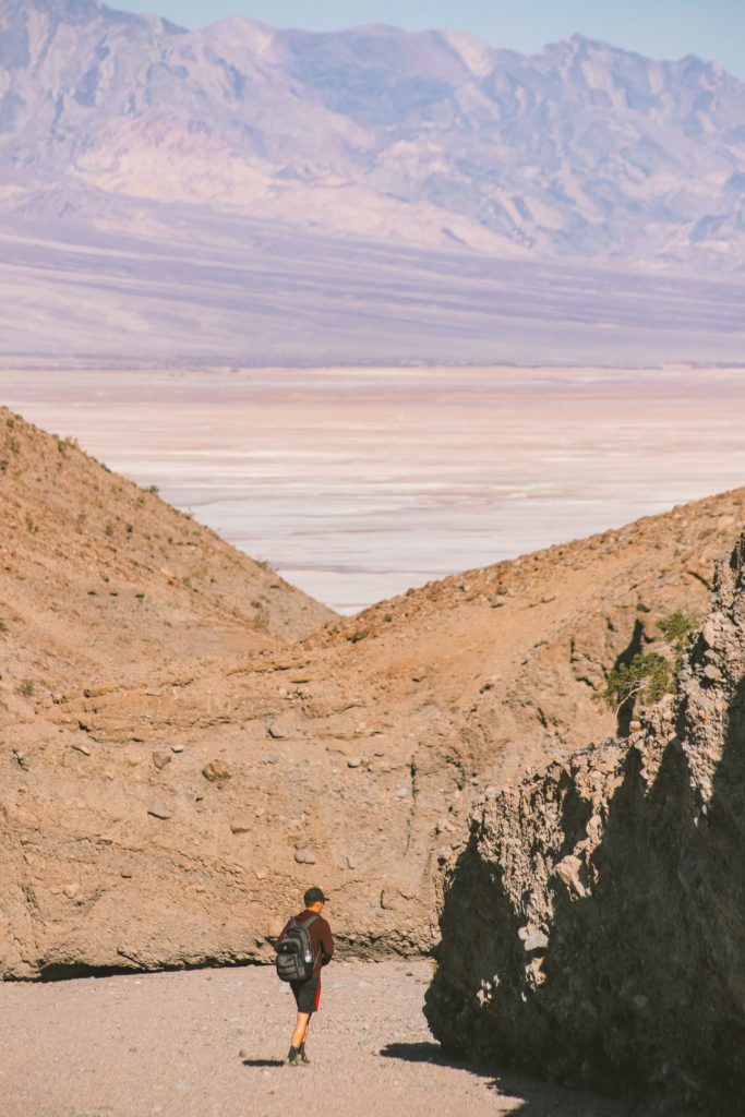
As you make your way back down the trail, the views are just as spectacular with layers of colors and textures.
Sidewinder Canyon still remains a bit of a hidden gem since not as many visitors make it this far south in the park.
3. Hike to Natural Bridge
After Sidewinder Canyon, head back north and make a stop at Natural Bridge. It’s located about 5 miles north of Badwater Basin.
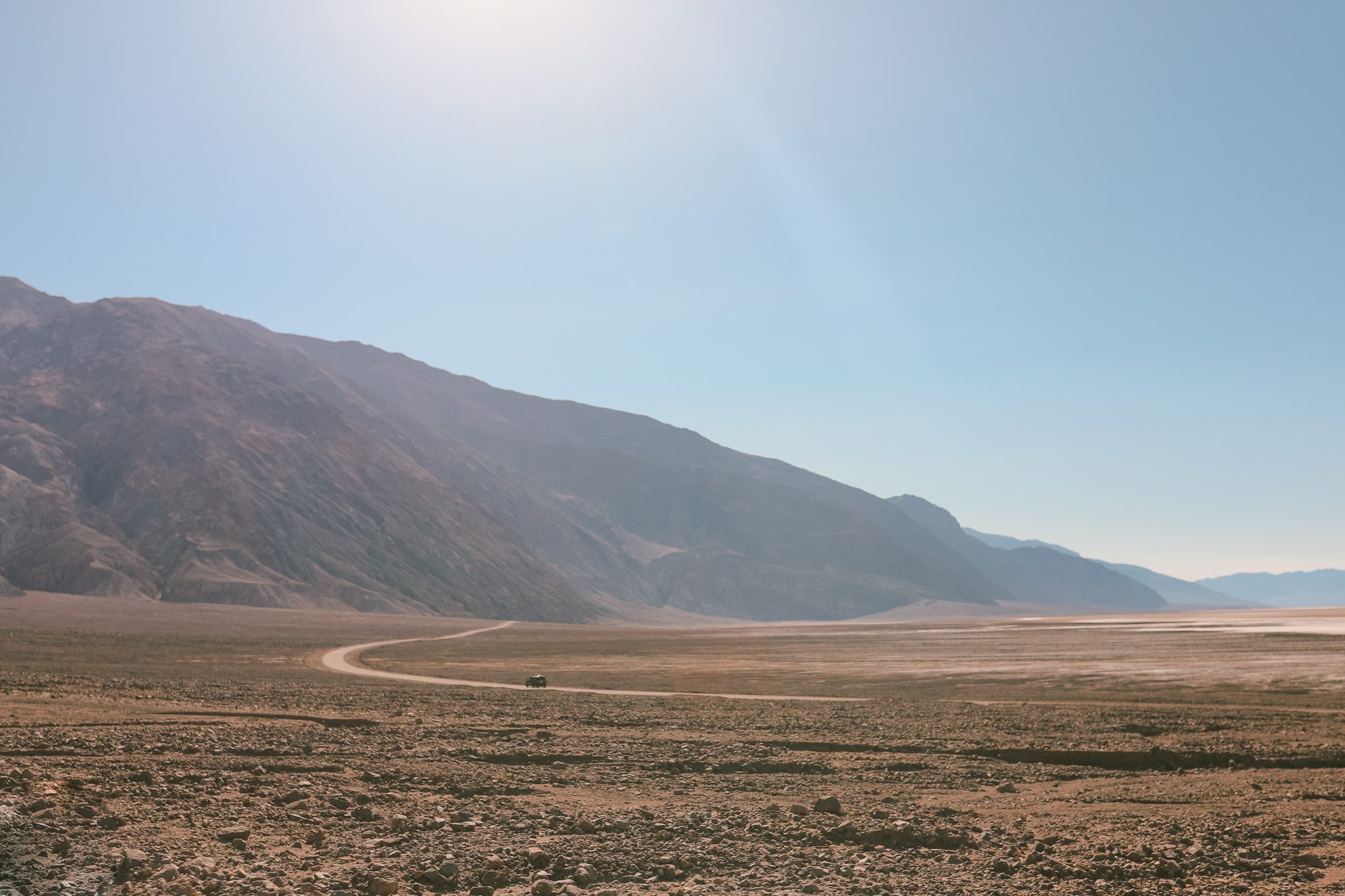
The main road through Death Valley is paved, but many of the hikes and attractions are reached by a dirt road.
To reach the Natural Bridge trailhead, you’ll need to drive about 1.5 miles up a dirt and gravel road.
The road is well-maintained and passable by most vehicles. It ends at a decent-sized parking lot.
From here, the trail is an easy 1.4-mile roundtrip hike through a wash.
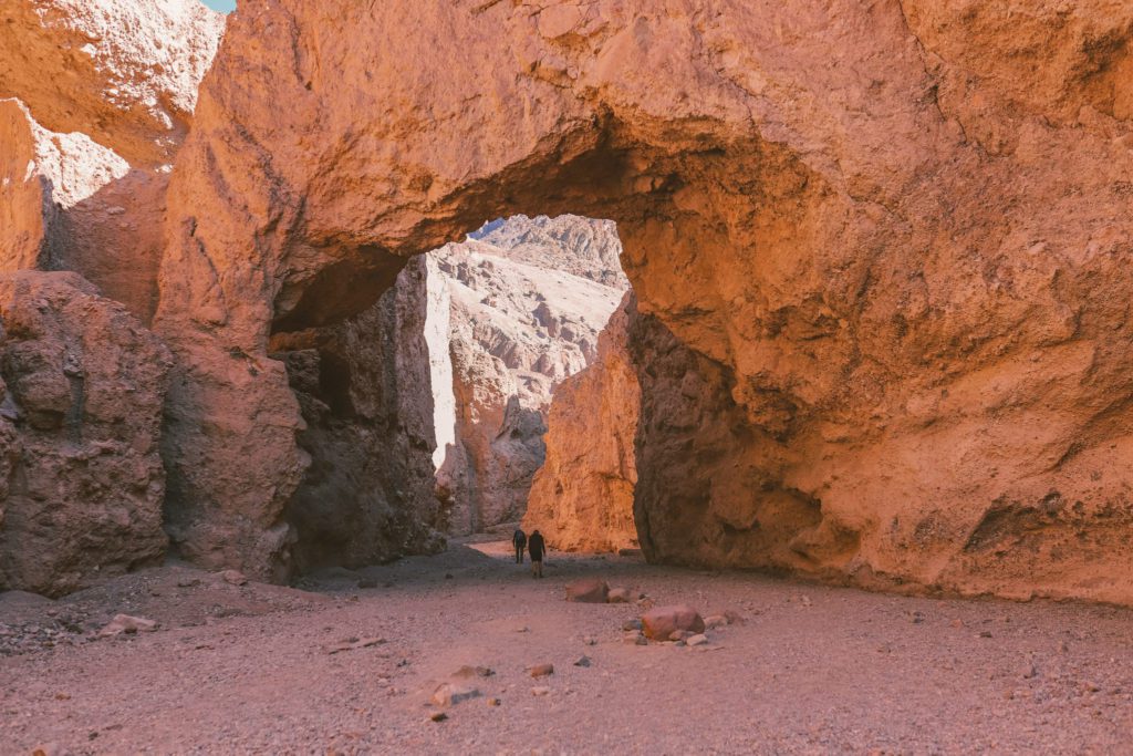
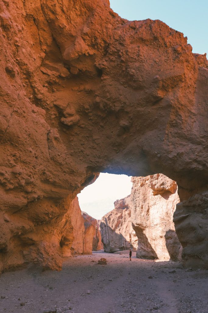
The natural bridge can actually be found only 0.3 miles up the trail. This massive 35-foot tall and 35-foot thick rock arch spans across the trail.
It is awe-inspiring to walk under this dramatic formation, the sheer scale will make you feel insignificant.
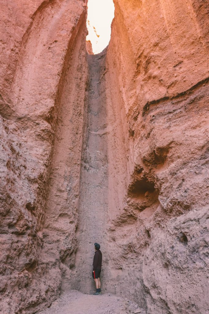
If you continue about 400 feet past the bridge, you’ll come to a stone chute known as a dry waterfall.
It’s hard to imagine water flowing here in the hottest and driest place in North America. However, this dry waterfall and natural bridge were formed as a result of flash flooding over thousands of years.
The trail continues further up the canyon, but I would just recommend turning back after the dry waterfall.
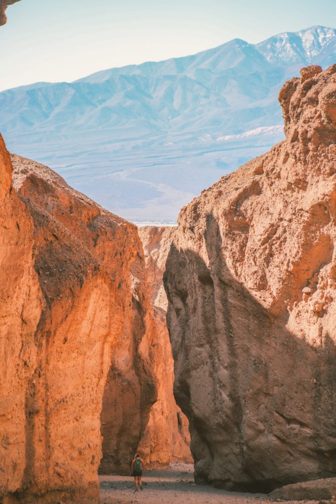
The views on the way back are just as stunning as you see the mountains peeking up over the canyon walls.
4. Make a Quick Stop at Devil’s Golf Course
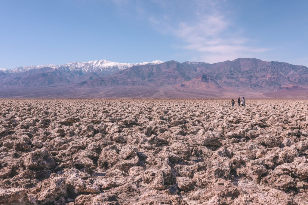
The Devil’s Golf Course adds to the myriad of unique landscapes found in Death Valley.
When Lake Manly dried up over 10,000 years ago, it left behind the smooth crystalline Badwater Basin salt flats.
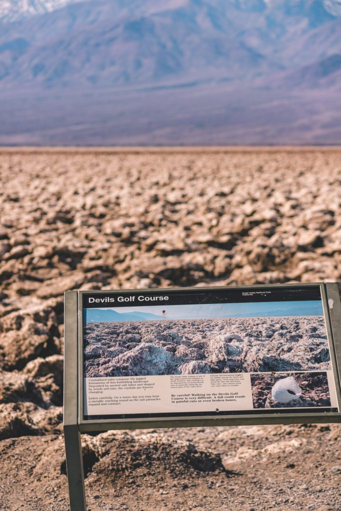
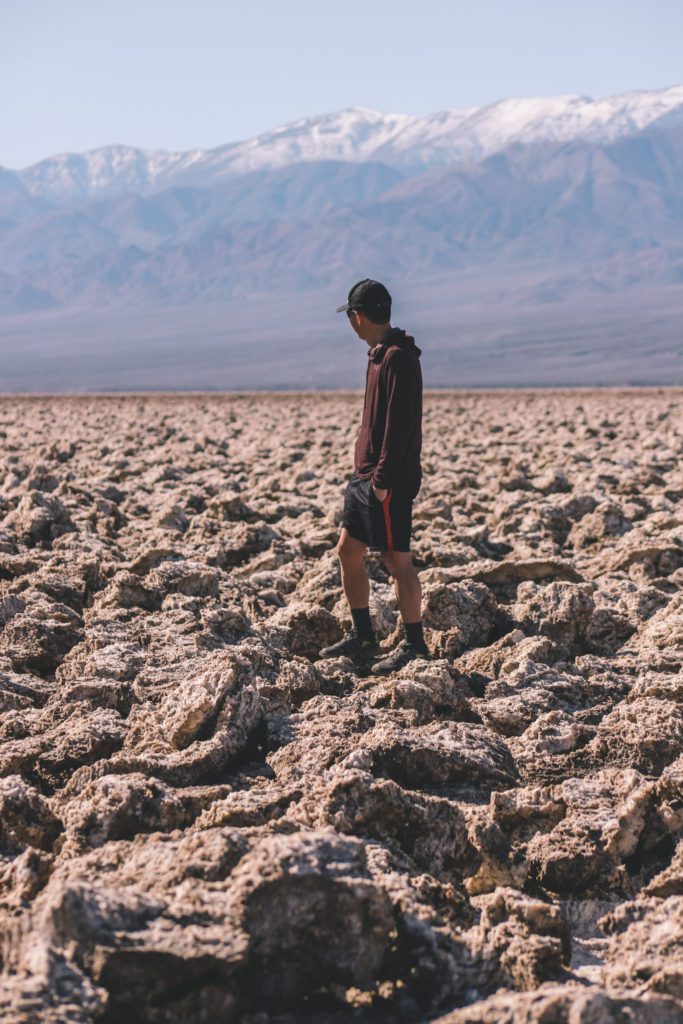
It also left behind a sea of large jagged salt crystal formations that make up the forbidden landscape of the Devil’s Golf Course.
The name of this area was coined after a 1930s national park guidebook commented that “only the devil could play golf on its surface”. After you visit, you’ll see why.
You’ll need to drive for one mile down an unpaved road to reach Devil’s Golf Course. Here you’ll find a parking lot with access to the salt formations.
Visitors can walk among the crystals, and you may even hear a cracking sound as the salt pinnacles expand and contract.
Just use caution as the terrain is uneven and the rough salt crystals are unforgiving if you stumble and fall.
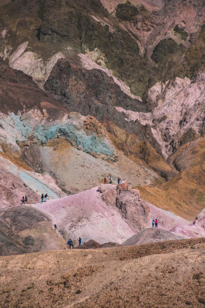
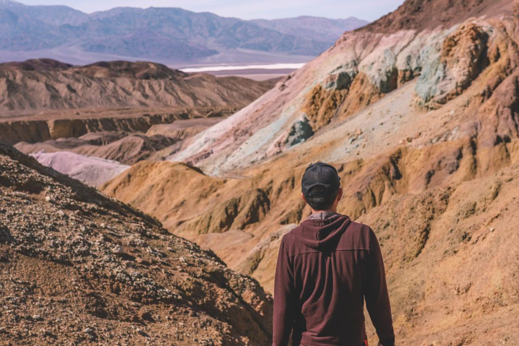
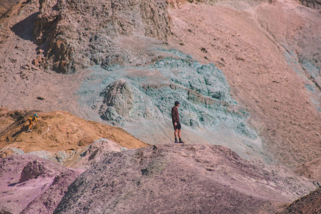
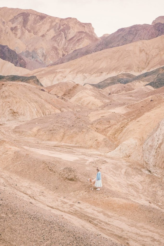
5. See the Rainbow Hills at Artist’s Palette
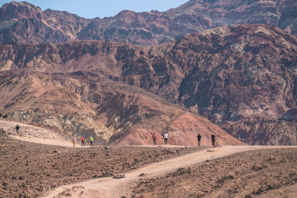
Artist’s Drive is a 9-mile one-way paved road that leads to Artist’s Palette, one of the most popular spots in Death Valley.
The scenic drive has several lookout points along the way.
The lookouts are pretty, but if you’re short on time I wouldn’t worry about stopping. Just keep going until you reach Artist’s Palette.
You can find a parking area for Artist’s Palette just off the road to the right around the 5-mile mark.
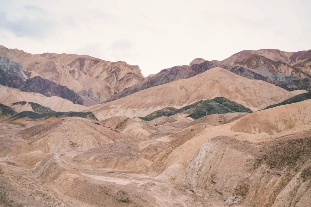
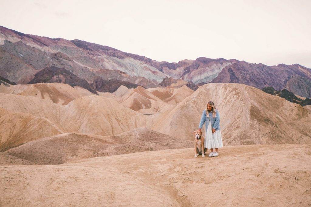
Here you’ll find the hills splashed with a rainbow of colors as a result of oxidized volcanic deposits.
Making a stop at Artist’s Palette after the Devil’s Golf Course makes sense for this itinerary.
However, to truly experience the magic of Artist’s Palette it is recommended that you visit during the blue hour just before sundown.
The colors tend to be washed out during the day and aren’t quite as vibrant. If you visit early in the morning or later in the evening then the colors will really pop.
The rainbow hills can be seen from the road, but visitors can also wander around the different paths that wind over and around the hills.
And for you Star Wars fans, the wash just in front of Artist’s Palette was used as a filming location in Episode IV: A New Hope.
6. Explore Golden Canyon and Red Cathedral
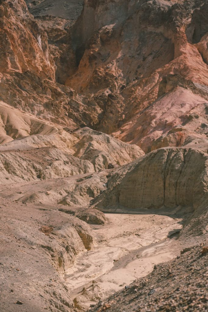
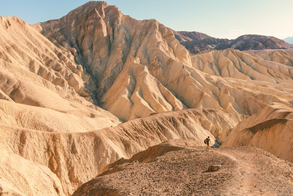
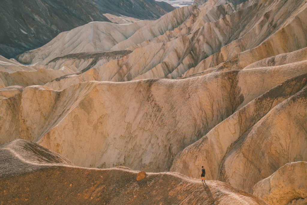
Golden Canyon and Red Cathedral perhaps offer the most unexpected beauty in the entire park.
While most visitors are sure to check off the more popular stops, like Artist’s Palette and Badwater Basin, many overlook Golden Canyon.
And once you are in Golden Canyon, there are even more hidden gems to be discovered.
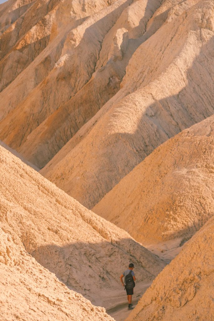
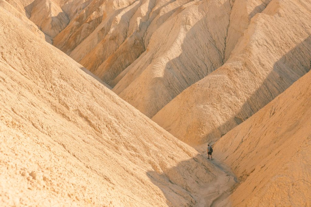
The name is quite fitting as the 2.9-mile out-and-back trail leads through a canyon with folds of golden hills.
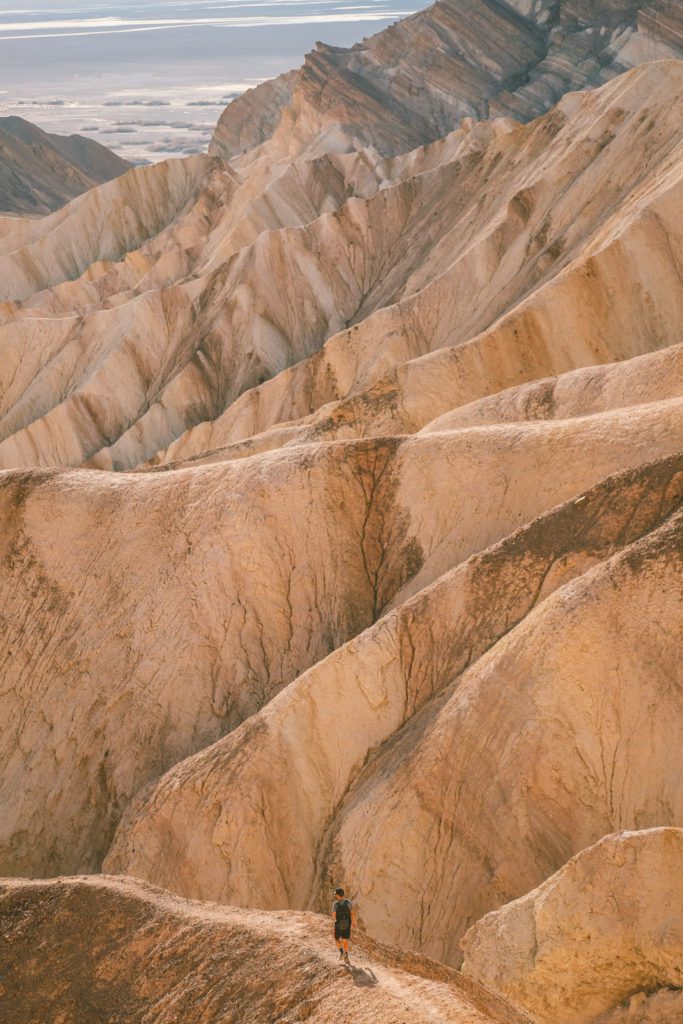
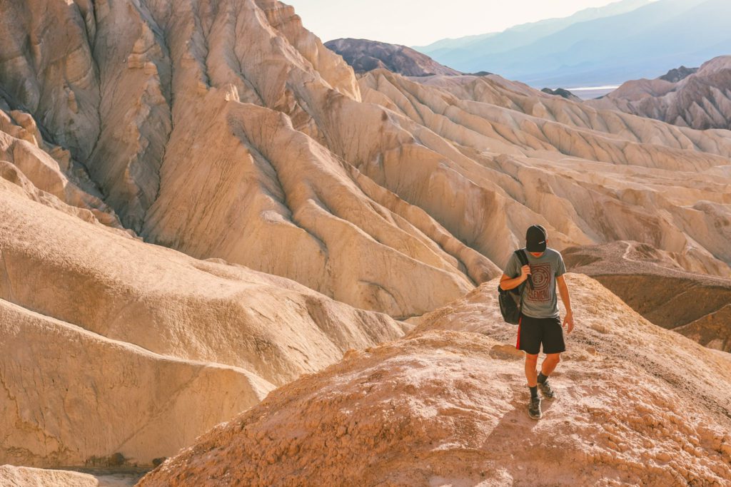
You can take the different side trails to explore the canyons and even climb up the hills for some cool photos from above.
Our favorite canyon can be found on the right just before the Red Cathedral and Gower Gulch trail junction.
The junction for Red Cathedral and Gower Gulch is located about one mile up the trail.
The Gower Gulch Trail is to the right and leads to Zabriskie Point. However, for this hike, you’ll stick to the left towards Red Cathedral.
Continue along the trail for about 0.5 miles.
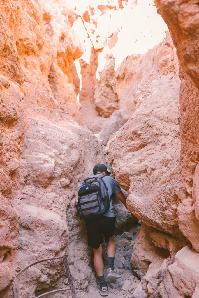
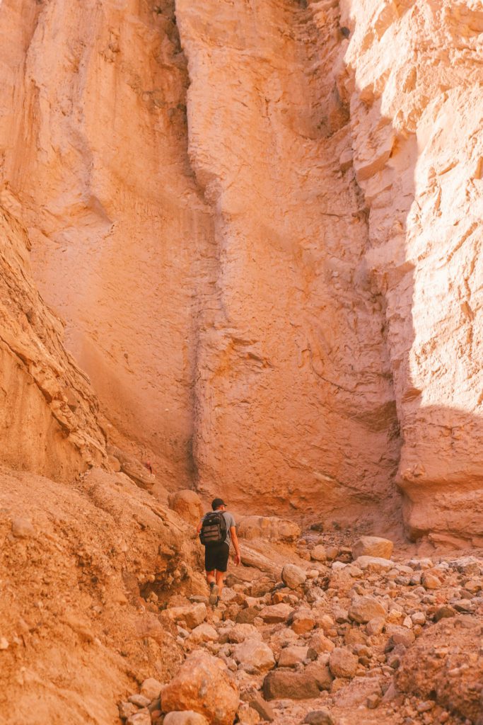
It leads under a narrow rock passage with some rock scrambling involved before reaching the towering red rock wall at the back of the canyon. This is known as the Red Cathedral.
Here you’ll find a cool natural amphitheater, but many visitors don’t realize that the trail doesn’t end here.
If you follow along to the left side of the wall, you’ll see a trail that continues up. Scramble up to the top of this trail and you’ll find an incredible viewpoint overlooking Golden Canyon and Death Valley.
There is another trail to the left that is my favorite spot in the park to take photos. It leads out across the top of the canyon with a dramatic backdrop.
You can continue following that trail down to the floor of the canyon as you make your way back out.
If the landscape feels unworldly, that’s because it is. The main trail through the canyon is one of the filming locations for Tatooine. It is where R2D2 was captured by the Jawas in Star Wars: A New Hope.
*Related Post: If you love desert hiking, check out Red Rock Canyon National Conservation Area outside of Las Vegas!
7. Scenic Drive at Twenty Mule Team Canyon
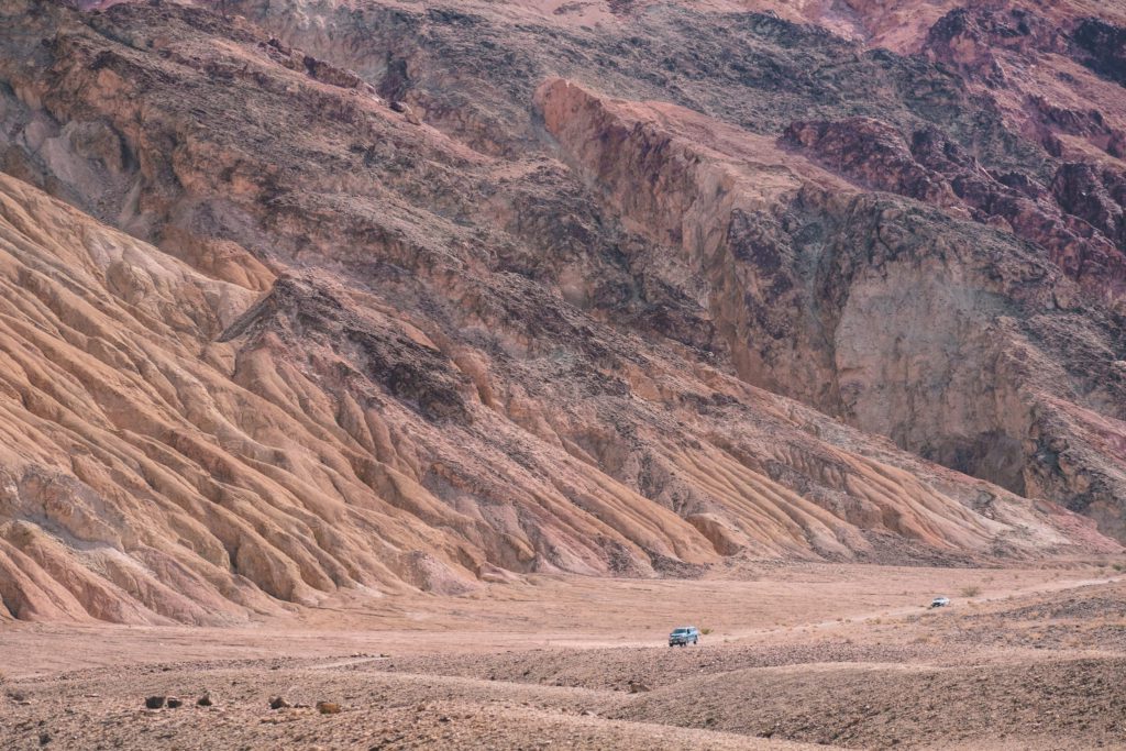
If you have time, take a scenic drive along the 2.5 mile dirt road through Twenty Mule Team Canyon.
This stretch of badlands lies just south of Zabriskie Point where you’ll experience the same colored hills that have spilled over into this region.
The one-way road is unpaved, but it is well-maintained and fine for most vehicles.
I wouldn’t go out of your way to visit here, as you can see much of the same landscape at Zabriskie Point.
However, if you have extra time it makes for a nice air-conditioned scenic drive before catching sunset at Zabriskie Point.
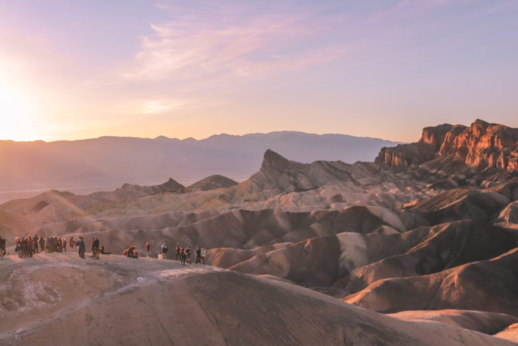
8. Watch the Sunset at Zabriskie Point
If you are feeling ambitious, you can take the Gower Gulch trail from Golden Canyon and hike about 2 extra miles to Zabriskie Point.
However, I would recommend just driving to the lookout point.
Zabriskie Point is actually located just outside the park entrance, so you don’t need a national park pass to visit.
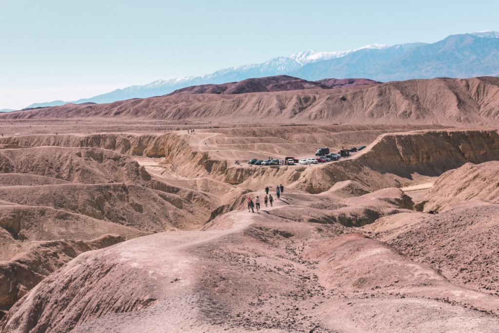
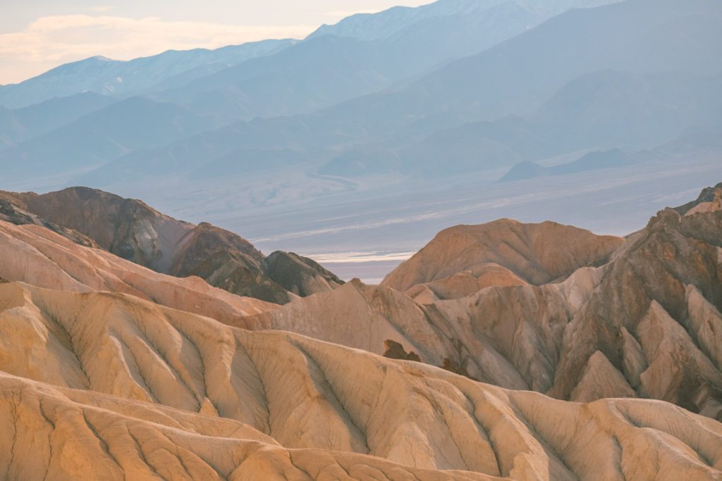
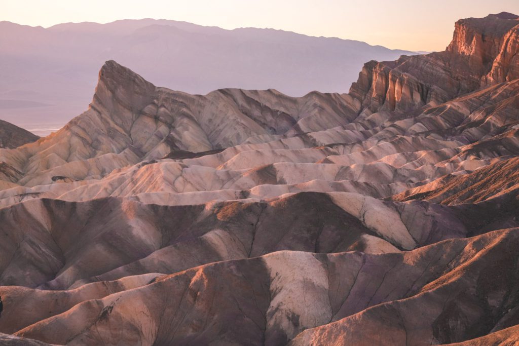
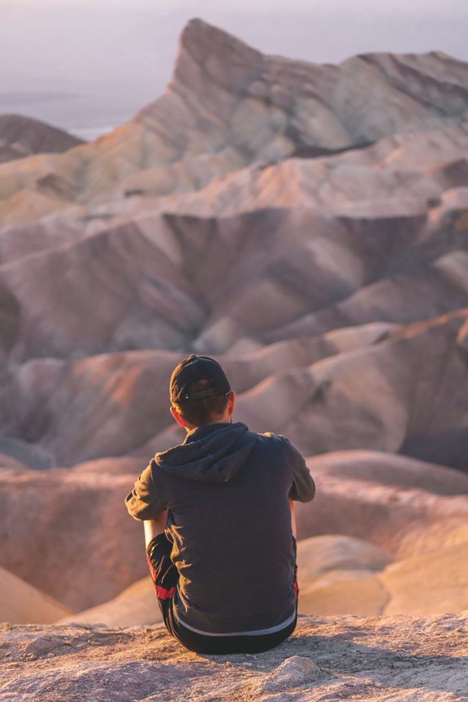
There is a large parking lot with a short 0.4-mile paved trail leading up to a panoramic view over the striated badlands.
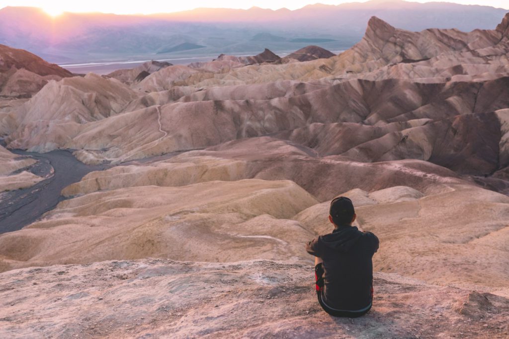
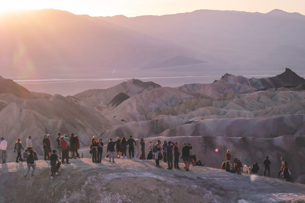
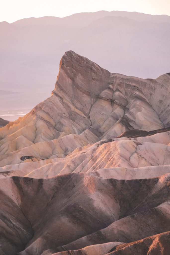
Zabriskie Point is one of the best places to watch the sunset in Death Valley. It truly is magical to see the rolling sea of gold and purple hills illuminated by the golden sun.
You can expect to find crowds at Zabriskie Point, especially during sunset, so try to come early to ensure a parking spot.
The lookout point can get quite crowded, but there are plenty of trails leading out to the hills and valley if you want to escape the crowds and enjoy the peaceful solace.
The iconic formation known as Zabriskie Point began forming over 9 million years ago.
It is the result of a combination of different factors, including sediments deposited by Furnace Creek Lake, ash from the Black Mountain volcanic field, the sinking of Death Valley, and the uplifting of the Black Mountains.
It was named after the GM and vice-president of the Pacific Coast Borax Company, Christian Brevoort Zabriskie.
In the early 20th century, his company used mules to transport borax from the Death Valley mines.
Today, Zabriskie Point is one of the most visited and most iconic features in the park.
*Related Post: Be sure to visit the nearby Valley of Fire State Park in Nevada!
9. Eat Dinner at the Last Kind Words Saloon
You’ll quickly learn that dining options are very limited at Death Valley.
Many visitors opt to just pack a picnic lunch into the park, but after a long day of hiking, you’re going to want a hearty meal for dinner.
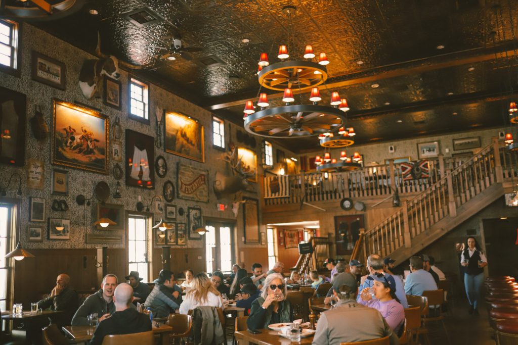
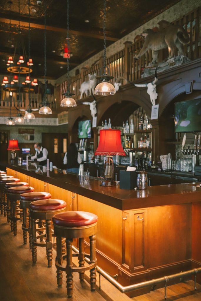
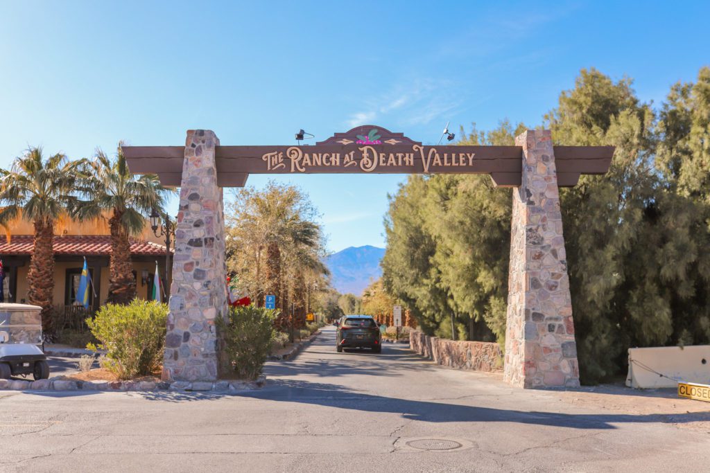
The Last Kind Words Saloon is located at The Ranch at Death Valley just outside the entrance to the park.
It is one of the only restaurants in the area so you can expect that the food will be overpriced and on the mediocre side. The service was slow, but the burgers actually weren’t too bad.
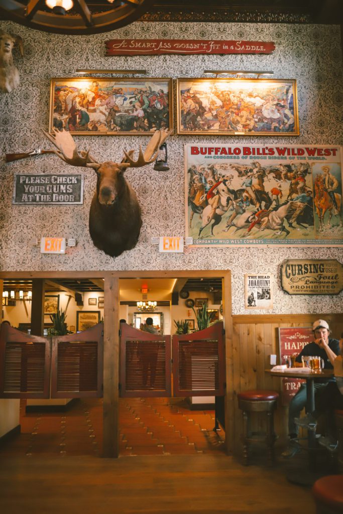
The menu includes burgers, sandwiches, salads, and pizza. The food is served in an Old West-style saloon.
It’s a fun place to eat just for the experience alone.
Other dining options at the ranch include the 1849 Restaurant which offers a breakfast, lunch, and dinner buffet.
The Ice Cream Parlor is a retro soda fountain that serves hand-scooped ice cream cones, rootbeer floats, burgers, hot dogs, and more. Get the strawberry cheesecake ice cream!
10. Stay at the Oasis at Death Valley
Not only are the dining options limited near Death Valley, but the hotel accommodations are also very limited.
The closest hotels can be found at the Oasis at Death Valley just outside the park entrance. Here you will find The Ranch at Death Valley and The Inn at Death Valley.
The Ranch at Death Valley is where you’ll find the saloon. It is also the cheaper of the two options, although it can still be quite expensive, especially on weekends and holidays.
I would recommend visiting during the week in the off-season for the best rates.
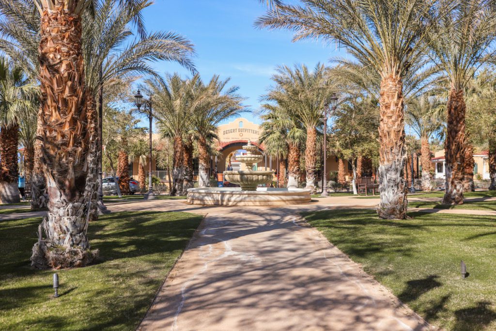
The grounds at the ranch are well-maintained with several amenities.
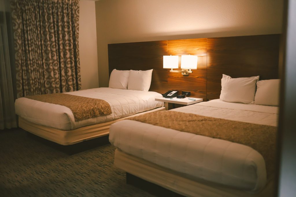
However, the rooms are a bit dated and could use a refresh.
Although I wouldn’t give the hotel rave reviews, it is the best hotel option if you want to stay close to the park.
I would recommend the hotel solely on the convenience of being able to catch sunrise and sunset at Death Valley.
If you don’t mind roughing it, there are also several designated campgrounds at Death Valley.
Many visitors also opt to stay in Las Vegas and make a day trip to Death Valley. See our Las Vegas travel guides for recommended things to do in Vegas.
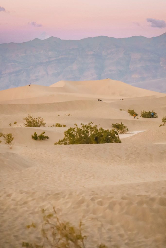
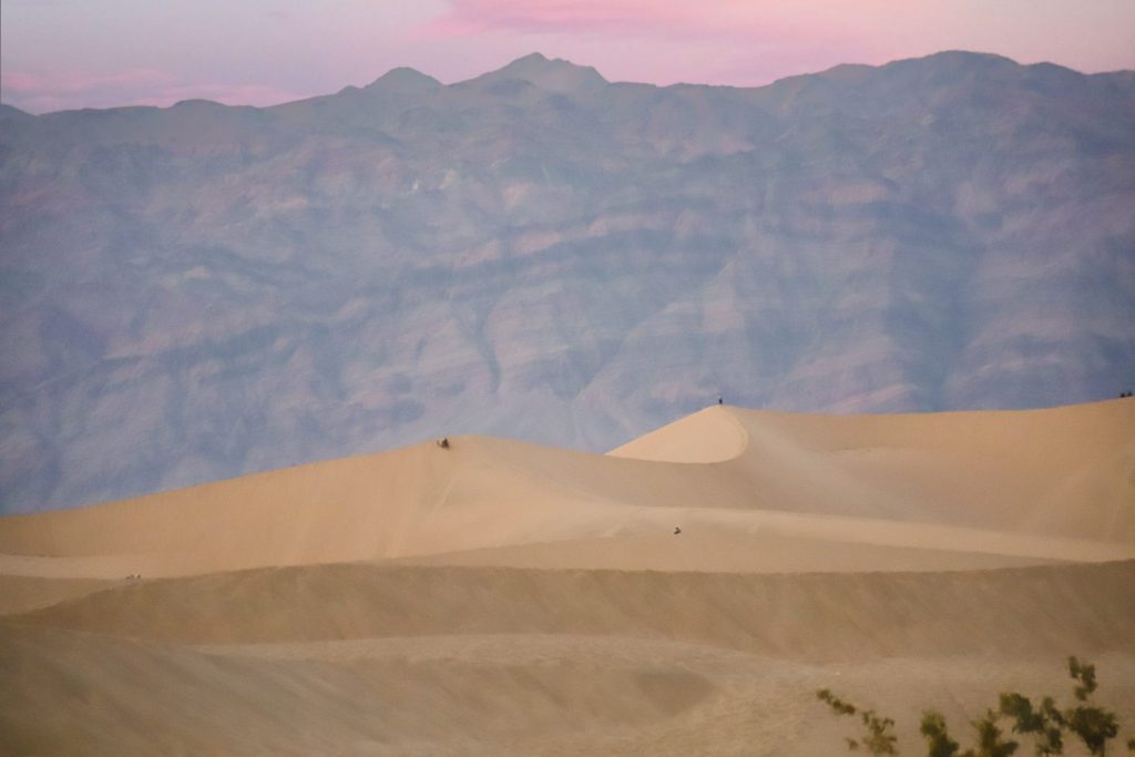
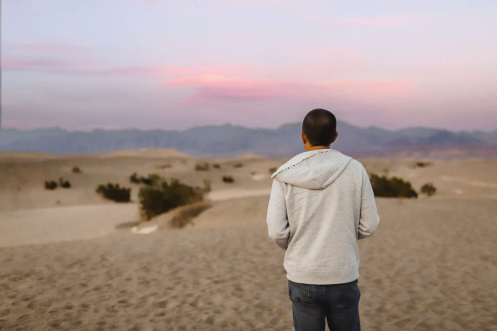
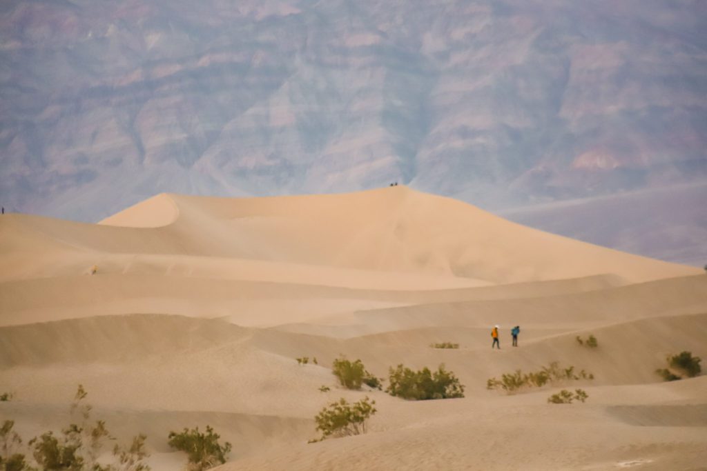
11. Sunrise at Mesquite Flat Sand Dunes
There are a lot of hot spots in Death Valley that compete for the best place to watch the sunrise and sunset.
The top contenders are Mesquite Flat Sand Dunes, Zabriskie Point, Badwater Basin, and Artist’s Palette.
For this reason, I would recommend staying at least one or two nights near the park so that you can catch the sunrise and sunset at different locations.
We stayed at The Ranch at Death Valley as mentioned previously so that we could catch sunrise at Badwater Basin the first day and sunrise at Mesquite Flat Sand Dunes the second day.
There are five different sand dunes that can be found inside Death Valley National Park. Eureka Dunes is the tallest at over 680 feet, and Mesquite Flat Sand Dunes is the most accessible.
The parking lot for the sand dunes is located just off the road in the northern section of the park.
You can view the dunes from the parking lot, or hike out and climb to the top of the many dunes.
The official trail is 2 miles out and back, but you can explore as much or as little as you would like.
This is a popular stop in the park, but the further you go out, the fewer the crowds.
If you are able to stay after dark, Death Valley is actually a designated International Dark Sky Park.
It experiences some of the darkest skies in the US, and Mesquite Flat Dunes is one of the best places to take in the wonder of the Milky Way at night.
Mesquite Flat Sand Dunes is also the only sand dunes in the park where sledding and sand boarding is allowed.
And Star Wars fans might recognize these as the rolling hills of Tatooine where C3PO and R2D2 crash landed.
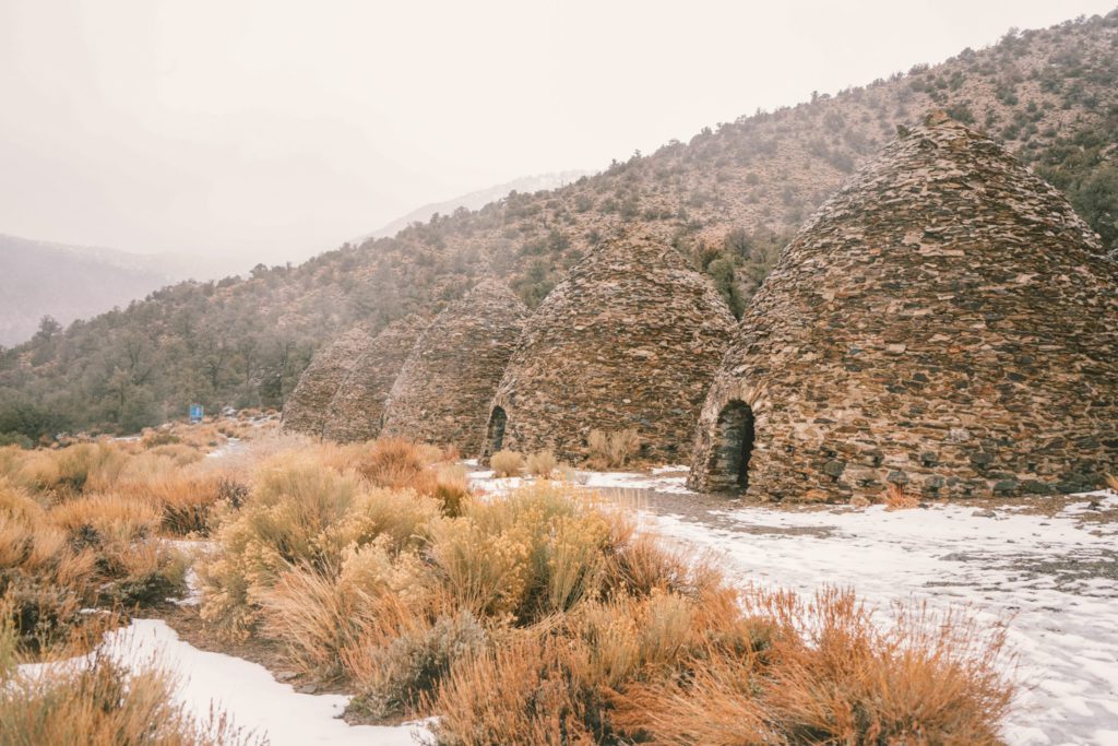
12. Bonus: Visit the Wildrose Charcoal Kilns
The Wildrose Charcoal Kilns is a bit of a hidden gem, but it does take some extra effort to get there.
The kilns are about 1 1/2 hours from the visitor center with the last 2 miles on dirt road.
The historic Wildrose Charcoal Kilns is a collection of 10 beehive-shaped kilns that were built in 1877.
The kilns are in remarkably good condition and are considered the most well-preserved of its kind in the states.
Click the link for more information about the history of the kilns.
If you are short on time, I wouldn’t go out of your way to see the kilns but it’s worth the drive if you are spending a few days exploring the park.
FAQ:
- What is the best time to visit Death Valley? Spring is the best time to visit Death Valley. The weather is beautiful and you’ll even experience wildflowers. Fall is also ideal, but avoid visiting in the summer. The winters can actually be quite cold, you may even experience snow in some areas of the park.
- Is Death Valley in California or Nevada? Death Valley straddles the California and Nevada state line. The majority of the park is located in California, but a small portion extends to the Bullfrog Hills in Nevada.
- Can you drive through Death Valley National Park? Yes, there is a paved road through the main areas of the park where you can access the most popular sites. Other more remote areas require 4WD access.
- What is Death Valley National Park best known for? Death Valley is known for holding the record for the hottest place on Earth. It is also the driest place and has the lowest elevation in all of North America.
- How many people have died at Death Valley National Park? Despite its name, Death Valley isn’t actually a deadly place. There have been 34 reported deaths since the park first opened, but the majority are due to car accidents and not heat exposure.
- Is there cell service in Death Valley National Park? There is no cell service in Death Valley. You may find small pockets near Furnace Creek, but plan to download any maps beforehand.
- What is the closest town to Death Valley? Furnace Creek is a small town located just outside the park near the visitor center. Here you will find limited accommodations, a gas station, and a few places to eat. Pahrump, Nevada is the next biggest town and is located about an hour from Death Valley.
- Is Death Valley the hottest place on earth? Death Valley holds the record for being the hottest place on Earth. The record was set on July 10, 1913 when it reached 134.1 degrees Farenheit.





Pretty! This has been an incredibly wonderful post.
Thanks for supplying these details.