The wild and untamed beauty of the Big Sur coast makes this one of the most scenic drives in the US, and even the world.
The rugged coastline of Big Sur stretches along Highway 1 for approximately 95 miles from Carmel down to San Simeon.
Here are some of the prettiest stops that can’t be missed on your Big Sur road trip!
*Disclaimer: This post contains affiliate links. If you make a purchase or book a reservation through the link provided then we receive a small commission at no extra cost to you. We really appreciate your support!
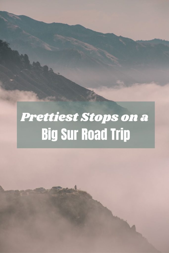
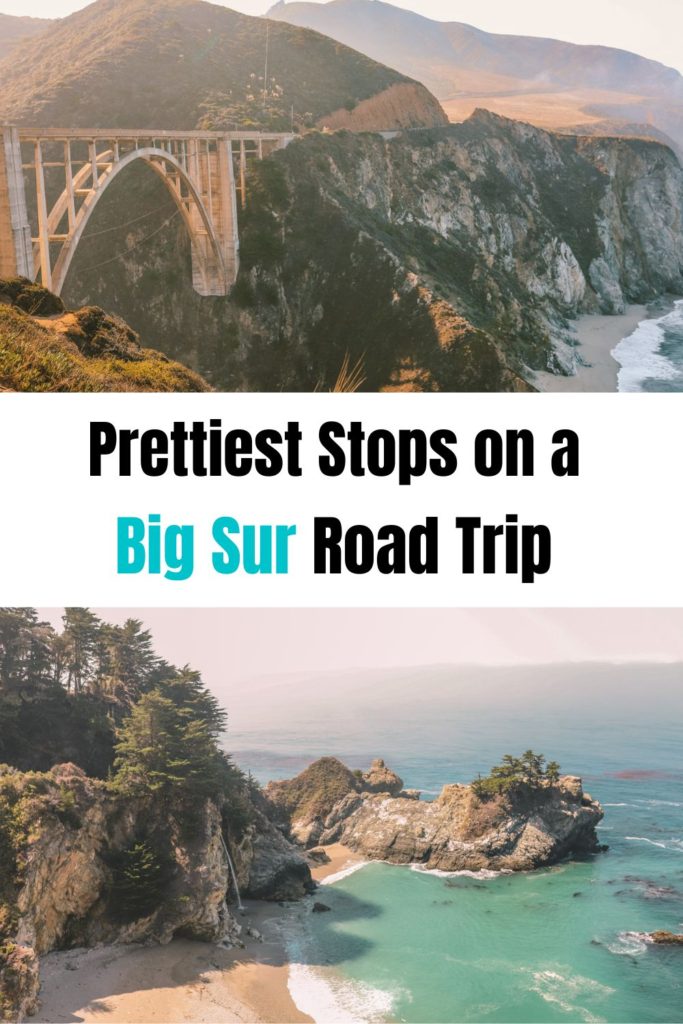
Prettiest Stops on a Big Sur Road Trip
Table of Contents
- Map of the Best Stops Along Big Sur
- 1. Carmel-by-the-Sea
- 2. Point Lobos State Natural Reserve
- 3. Garrapata State Park
- 4. Bixby Creek Bridge
- 5. Hurricane Point
- 6. Scenic pull-outs
- 6. Pfeiffer Beach
- 7. Big Sur Village
- 8. McWay Falls
Map of the Best Stops Along Big Sur
1. Carmel-by-the-Sea
Carmel-by-the-Sea is a unique town and the gateway to Big Sur. It’s the perfect spot to kick off your road trip!
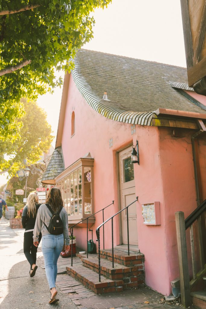
This sleepy seaside village feels like it belongs in the pages of a fairytale book.
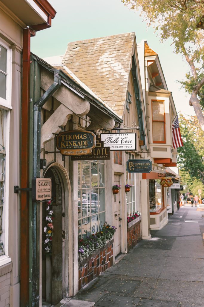
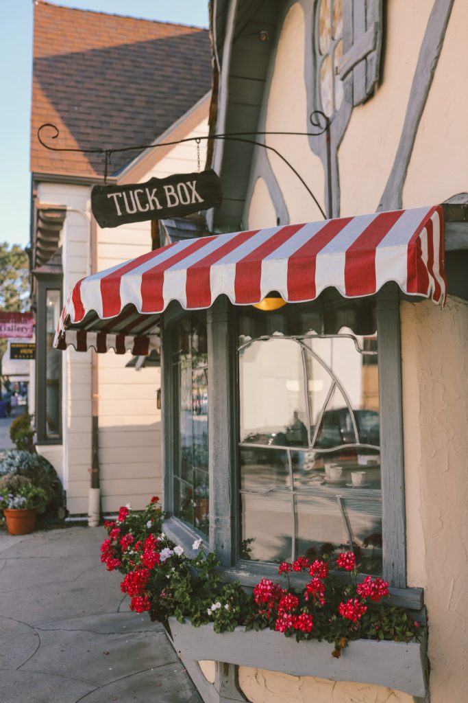
The one-square-mile town is dotted with cafes and shops housed inside historic fairytale cottages.
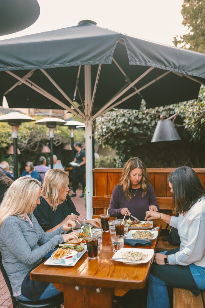
The walkable town has more restaurants per capita than any other small city in the United States, but you won’t find any fast food here.
Fast food restaurants are banned in Carmel-by-the-Sea, along with traffic lights, house addresses, and even shoes with a heel taller than 2 inches.
Visit the shops on Ocean Avenue, grab brunch at The Tuck Box English teahouse, take a walking tour of the fairytale cottages, indulge in some homemade fudge from The Cottage of Sweets, and dip your toes in the sand at Carmel Beach.
There is so much to do in this charming little town. For more recommendations, see our guide for the Best Things to do in Carmel-by-the-Sea.
2. Point Lobos State Natural Reserve
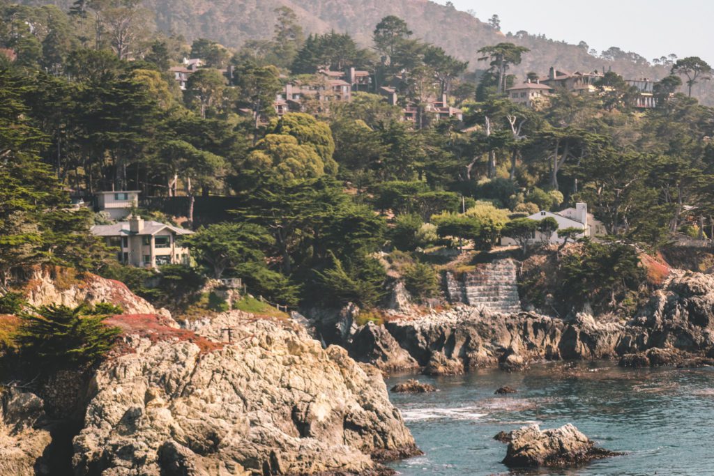
Point Lobos is considered one of the most beautiful state parks in California and is often referred to as the “Crown Jewel” of the state parks.
To get the full experience, take the Point Lobos Loop Trail.
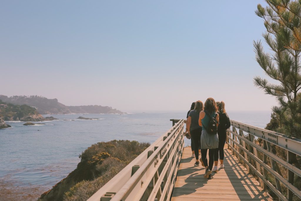
This 5-mile coastal trail follows along the entire perimeter of the park. It offers spectacular views over surreally steep cliffs and untamed shorelines.
However, if you are short on time, then there are parking lots throughout the park that allow access to certain portions of the trail.
For the prettiest section of the trail, park at the parking lot by Hidden Beach and then take the South Shore Trail to connect to the Bird Island Trail.
This 1-mile loop will take you to see Hidden Beach, China Cove, Bird Island, and Gibson Beach.
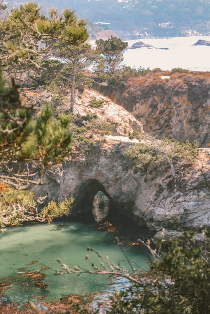
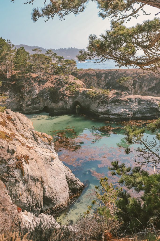
China Cove is arguably the most photographed spot in Point Lobos with its picture-perfect white sand pocket beach, a sea arch, and deep emerald water.
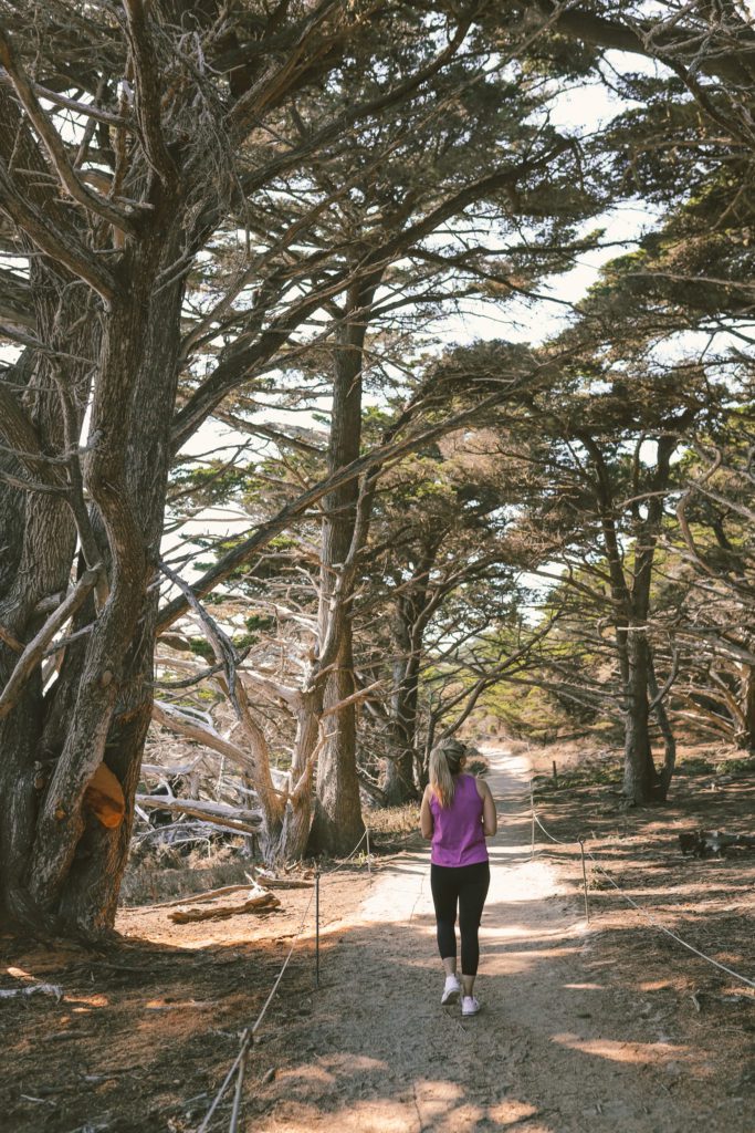
The Cypress Grove Loop Trail is also worth the quick 0.8-mile hike. It leads through a wild grove of Monterey cypress trees that is one of the last remaining wild groves in the world.
On your way out, be sure to stop by the Whaling Station Museum. Here you can learn more about the Chinese fisherman who built a village in this cove after being shipwrecked in 1851.
Entrance to the park is $10 per vehicle, but this gives you access to any other state park that you visit on the same day.
There are 10 state parks in the Big Sur area, so be sure to keep your receipt.
Keep in mind that there is no cell reception throughout most of Big Sur.
I would highly recommend using AllTrails Pro so that you can download the trail maps to use offline throughout your Big Sur road trip.
3. Garrapata State Park
Garrapata State Park offers a little bit of everything.
With a stunning bluff trail, a two-mile stretch of beach, and hiking trails that lead through groves of redwood trees in the Santa Lucia Mountains.
The park is easy to miss as it is only marked by one “Garrapata State Park” sign and a small parking lot.
From here, there are 19 other turnout makers as you head south that lead to various hiking trails and lookout points.
The 1-mile bluff trail is found between markers 7 and 8. You can park at the gravel pull-out located at either gate to access the trail that spans between the two gates.
This scenic coastal trail offers unparalleled views as it contours the rugged coastline.
You’ll see unique rock formations, hidden coves, and the Soberanes Creek Waterfalls. In the spring, the landscape is even carpeted with wildflowers.
If you continue further south, you can take the Soberanes Point Trail between gates 8-10. This trail leads around the rocky headland at Soberanes Point.
The Soberanes Canyon Trail can also be accessed at gate 8. This 1.25-mile trail follows alongside Soberanes Creek and leads through a grove of redwoods.
Garrapata Beach is the only sandy beach located in the park. The trail to the beach can be accessed at the southern end of the park at either gate 18 or 19.
Just keep in mind that the surf is often rough and unpredictable so do not swim at the beach.
However, the remote strand of beach is quite serene and still worth a visit. There are also several sea caves that you can explore.
If you are visiting in the spring, you’ll be in for a treat as you hike through Calla Lily Valley to reach the beach.
Between late January through mid-April, this ravine is filled with hundreds of blooming white calla lilies.
The Calla Lily Valley trail is located at gate 18. It leads through the valley and down to Garrapata Beach.
4. Bixby Creek Bridge
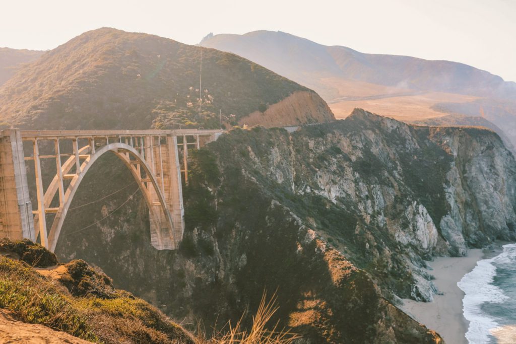
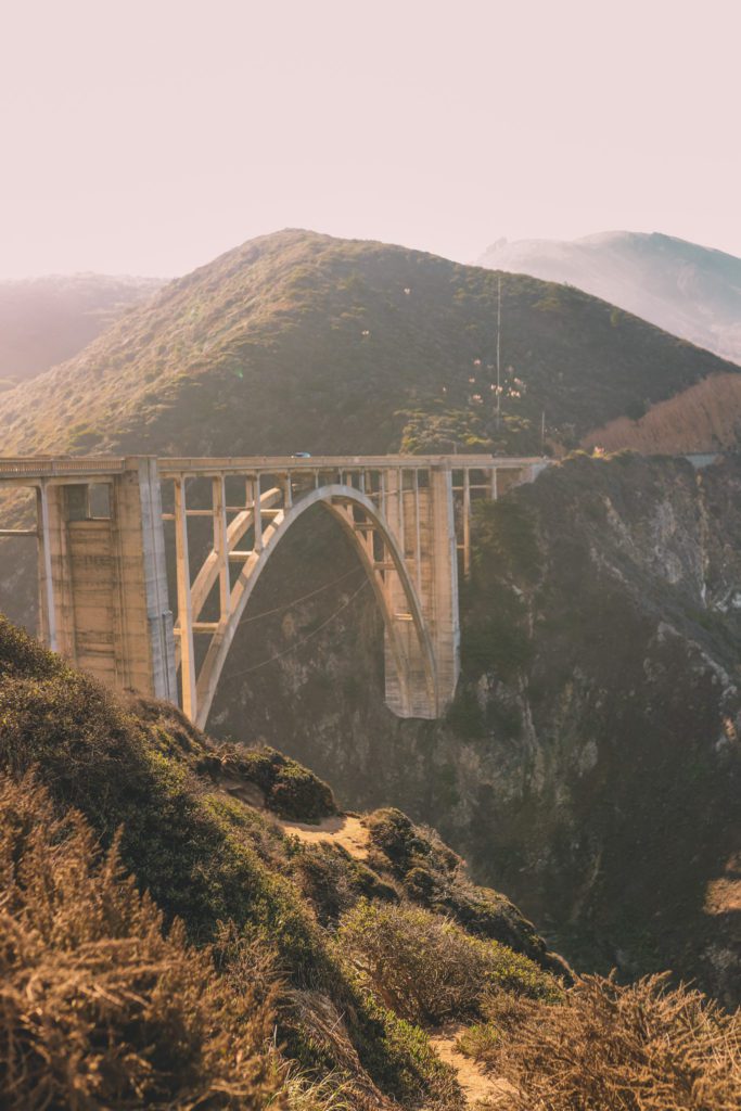
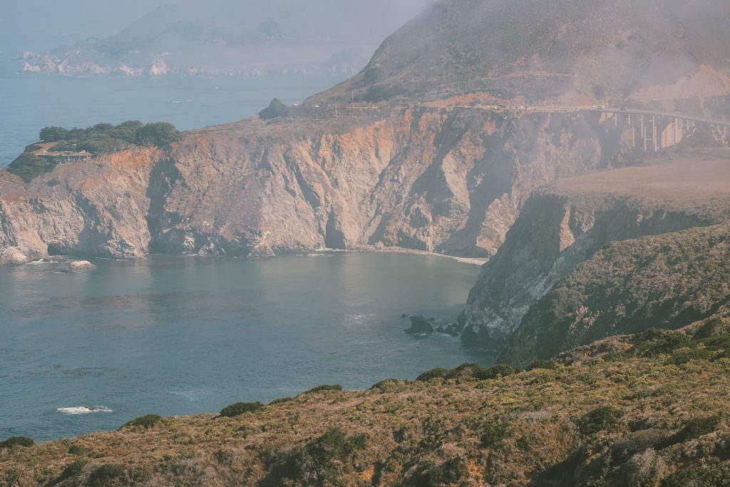
The Bixby Creek Bridge is one of the most photographed bridges in California and is perhaps the most iconic landmark along the Big Sur coast.
The bridge crowns the coast and is surrounded by mist-shrouded cliffs.
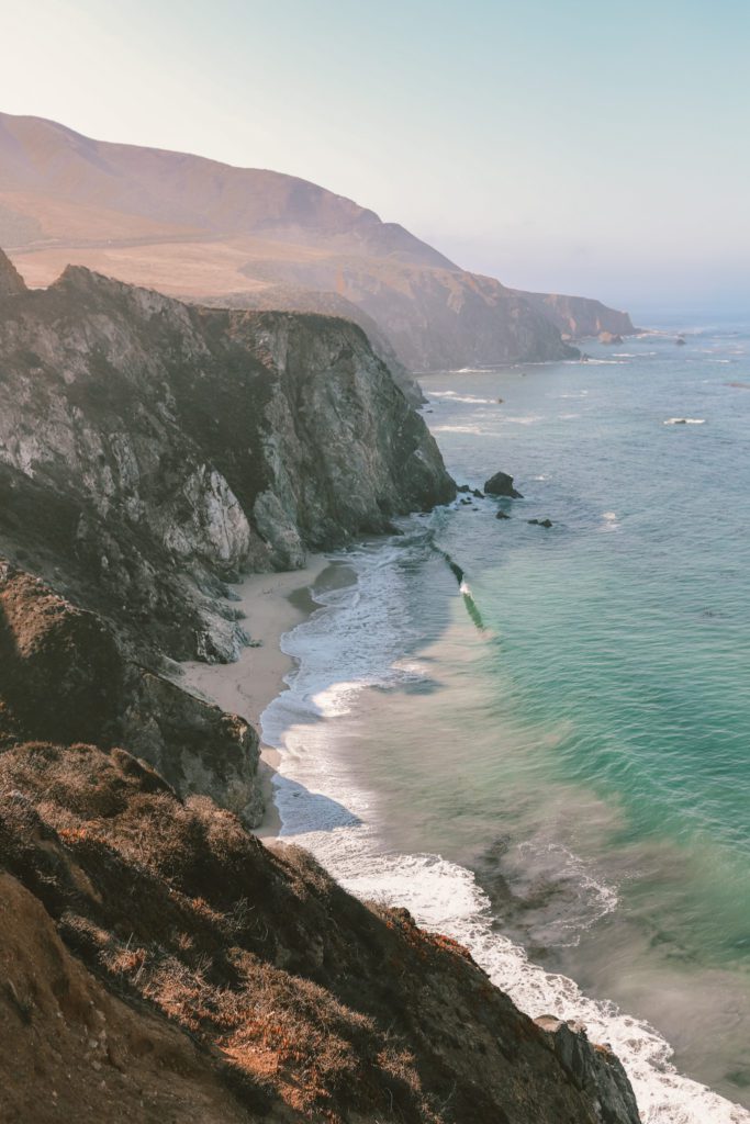
At the base of the cliffs, you’ll find a wild shoreline with waves crashing onto a picturesque sandy beach.
It truly is a breathtaking scene.
It’s no wonder that this bridge is often featured in car commercials and movies. It also makes a regular appearance on the HBO Max hit series, Big Little Lies.
This aesthetically designed concrete arch bridge was built in 1932 and soars 260 feet above the canyon.
At the time of its completion, it was the highest single-span arch bridge in the world and the longest concrete arch span bridge in California.
The best place to stop for a photo is just north of the bridge. There is a small parking lot where you can get out to snap a photo and drink in the unrivaled views.
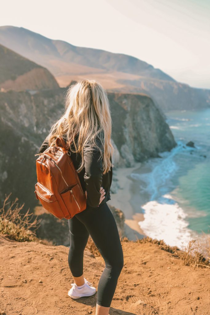
Just be cautious as there are steep drop-offs so don’t get too close to the edge.
5. Hurricane Point
While the most popular viewpoint of Bixby Creek Bridge is from the parking lot just north of the bridge, there are also several other different vantage points.
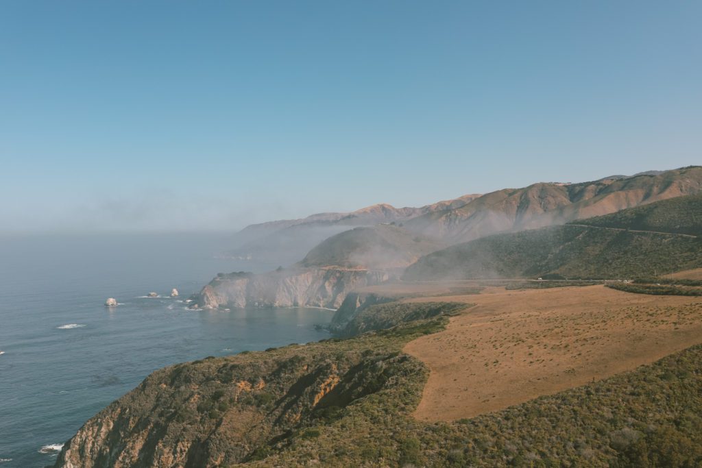
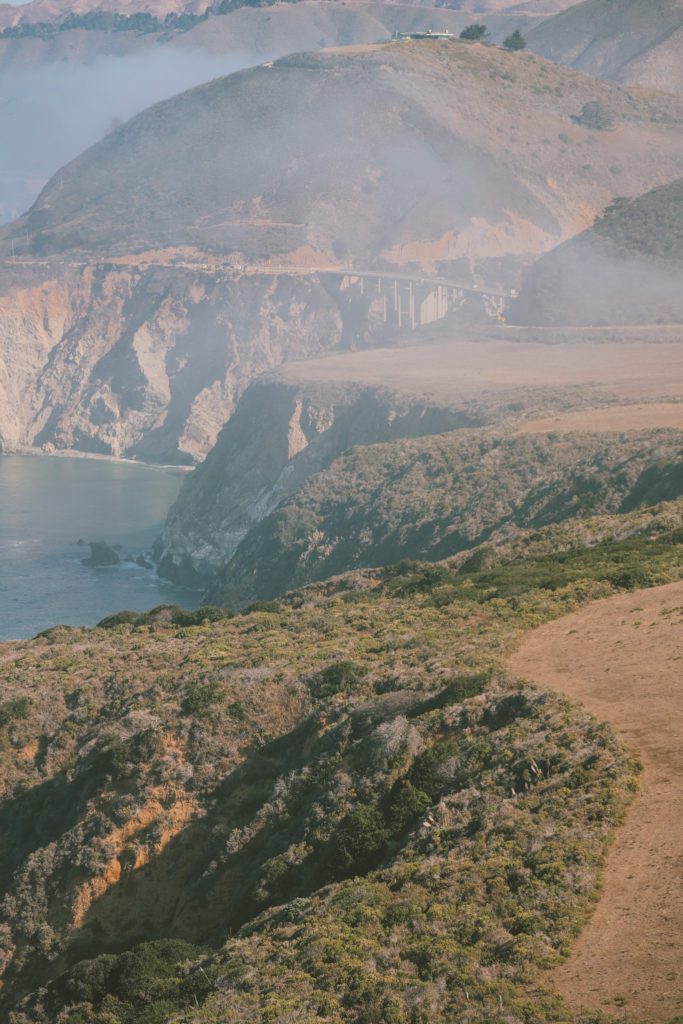
Hurricane Point offers a panoramic view of Bixby Bridge with the surrounding windswept coastline.
This perspective allows you to take in the whole scene. You can see the bridge off in the distance and Highway 1 hugging the contours of the coastline.
There is a small parking area where you can make a quick stop and snap a photo.
6. Scenic pull-outs
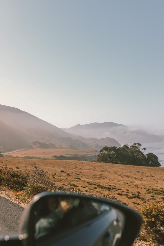
You’ll find plenty of scenic pull-outs located all along Highway 1.
Take advantage of these opportunities to capture a photo and soak in the surreal beauty that can only be found at Big Sur.
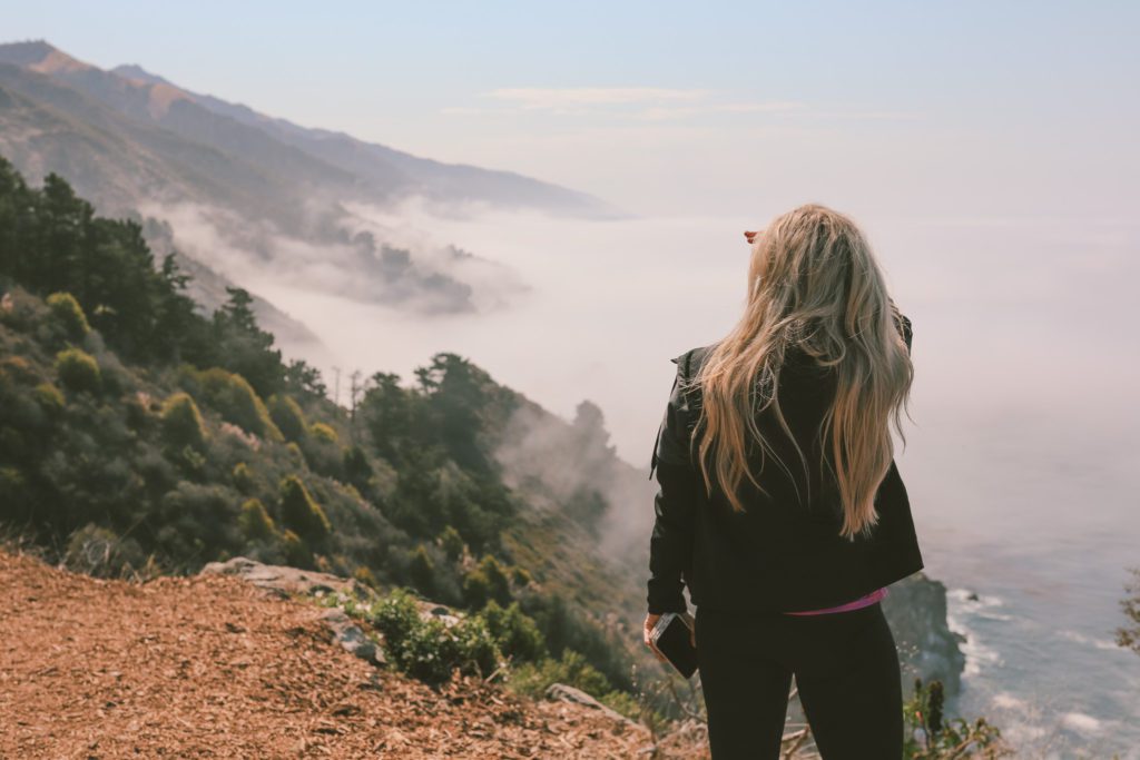
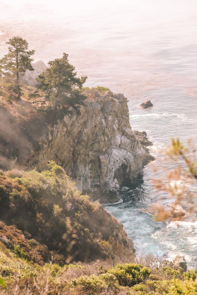
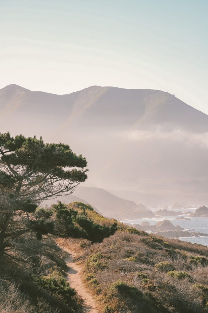
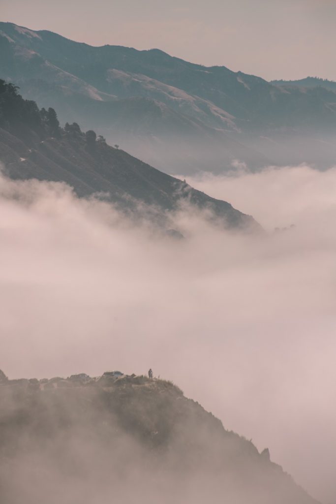
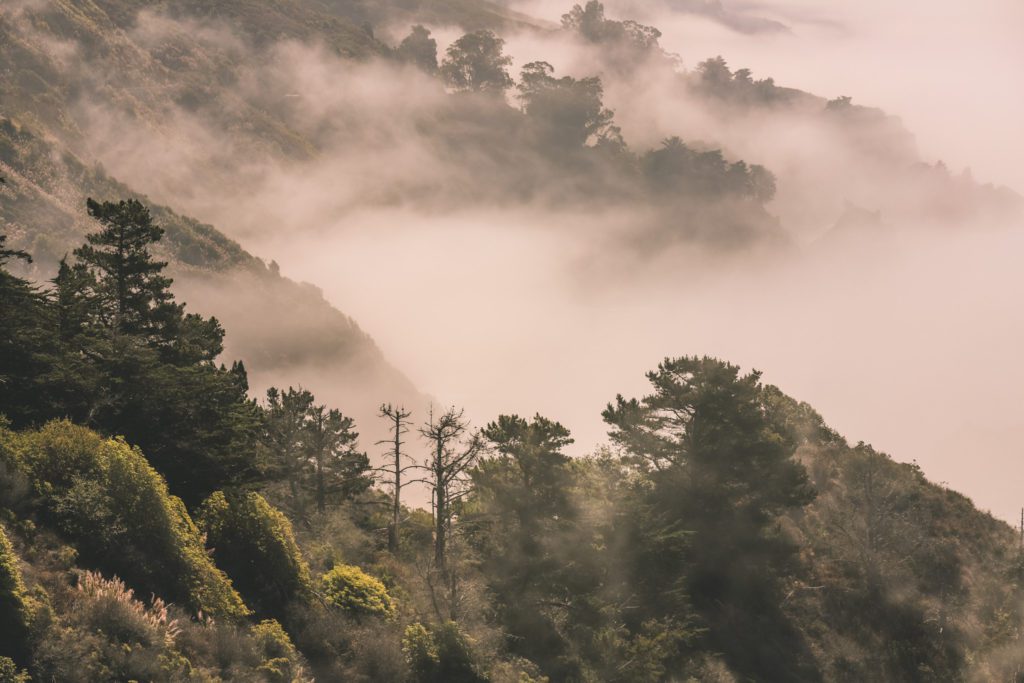
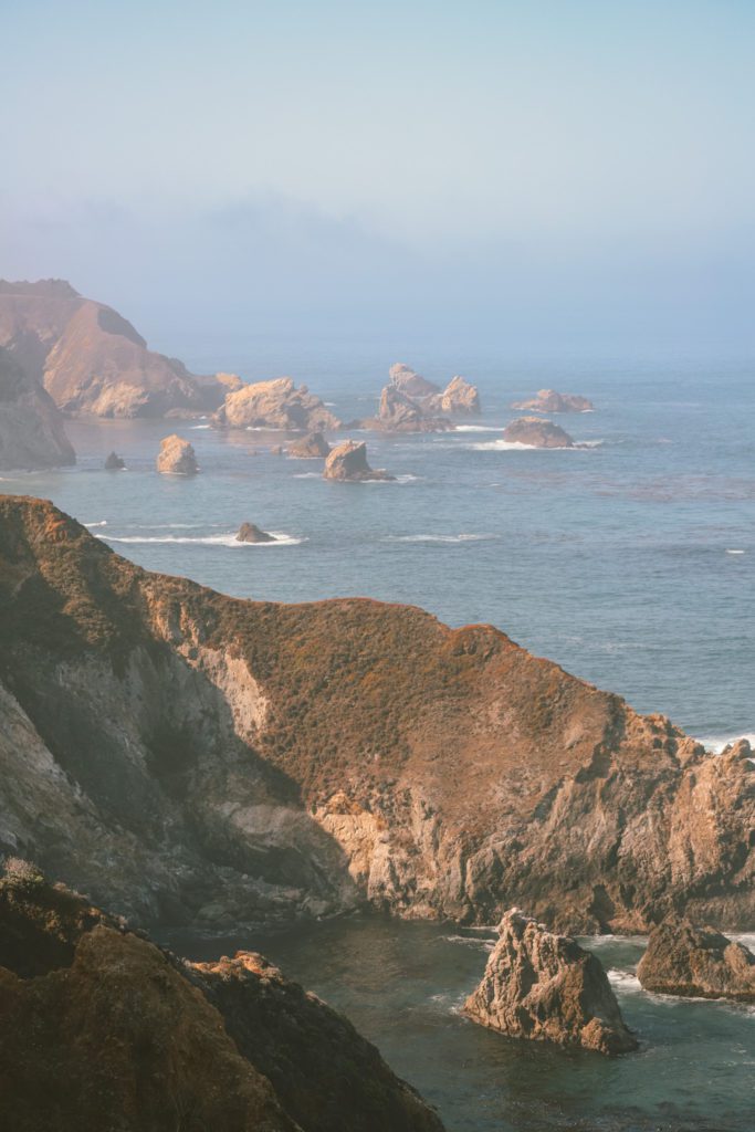
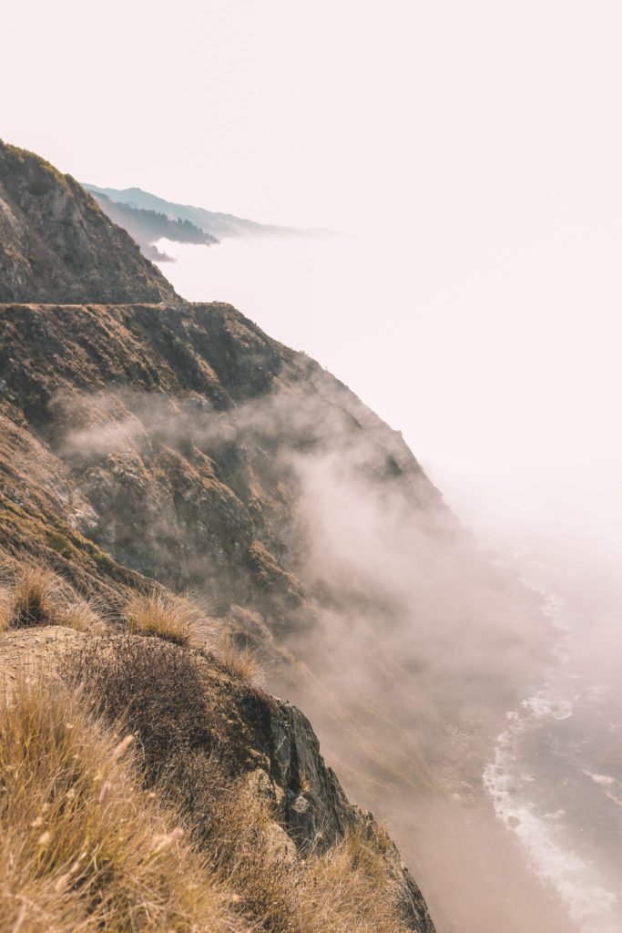
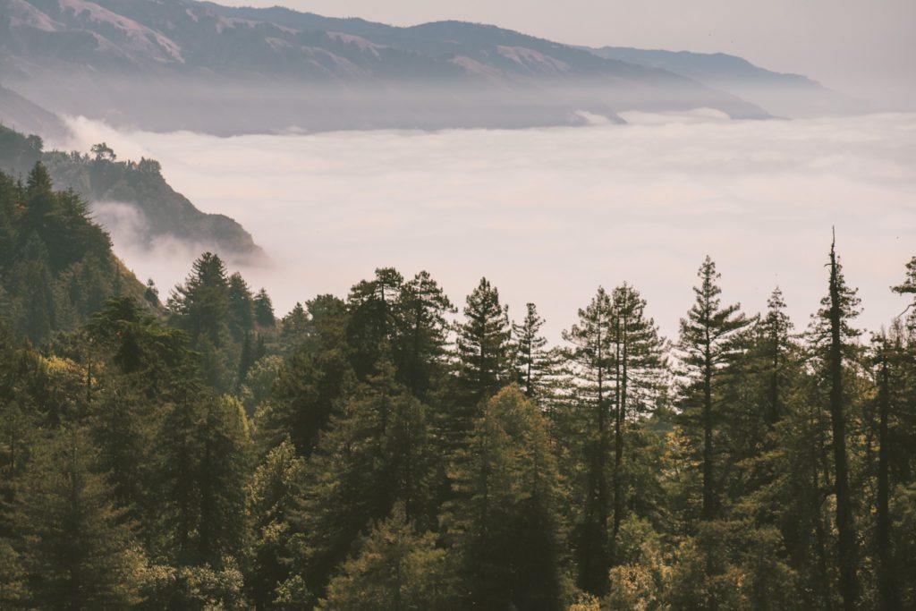
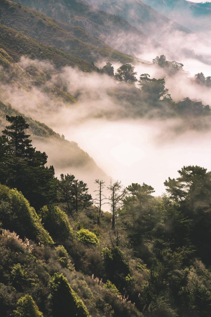
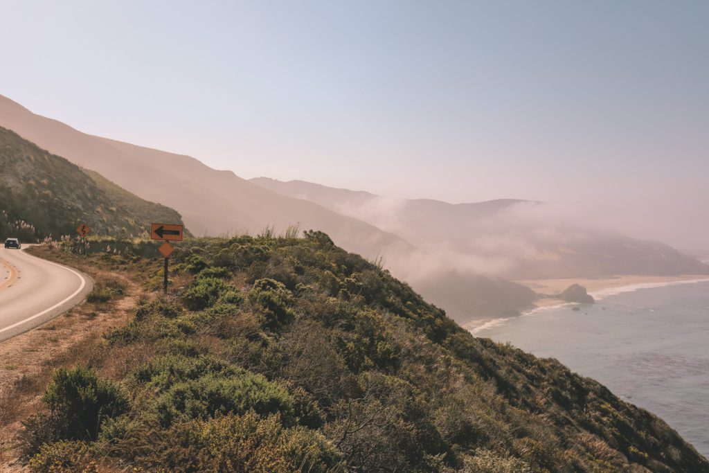
You’ll see forests of trees wrapped in thick fog, wind-rippled grassy hilltops, and the haunting beauty of the menacing cliffs.
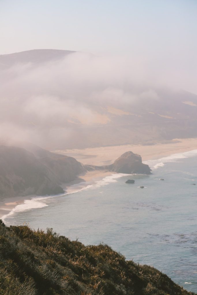
The views also include weathered sea arches, seductive sandy coves, windswept beaches, and an endless ocean punctuated with jagged rocks.
I would highly recommend setting out early to avoid the crowds and to experience the mystical beauty of the morning coastal fog.
If you stand on the edge of the cliffs, you can even hear a chorus of sea lions barking into the emptiness below. It truly is captivating.
6. Pfeiffer Beach
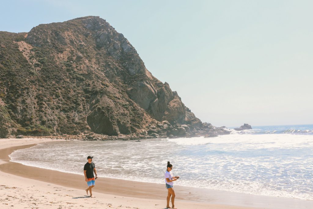
While there are plenty of beaches along the coast at Big Sur, most are inaccessible or too rough to swim in.
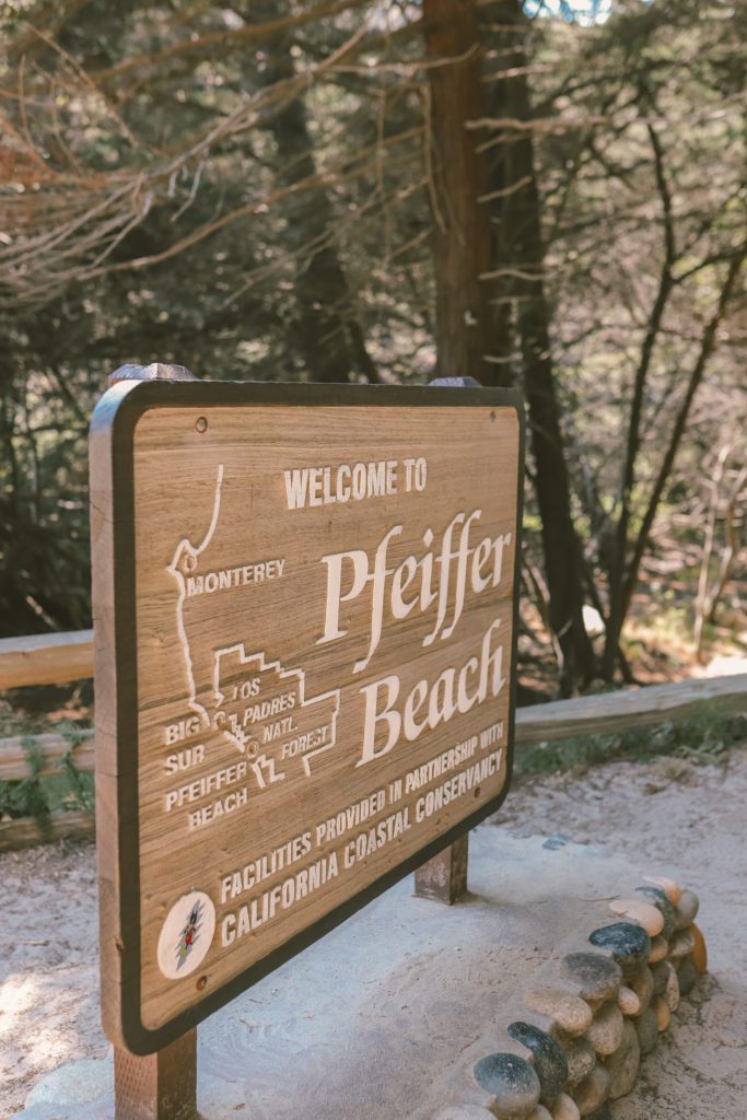
However, Pfeiffer Beach at Sycamore Canyon is an exception. Pfeiffer Beach is easily accessed by a paved road and it is one of the best swimming beaches at Big Sur.
As a result, Pfeiffer Beach is one of the most popular stops on a Big Sur road trip and it can get extremely busy during peak season.
There is a narrow winding road at the mouth of the canyon that leads down to the parking lot at the beach. When the parking lot is full, the road is closed and visitors will be turned away.
The road itself is a little tricky to find. To reach Pfieffer Beach, keep your eye out for the Pfeiffer Big Sur State Park entrance.
Keep driving south for about a mile past the entrance until you see a sign on the right that says “narrow road”. This is the unmarked Sycamore Canyon Road and you’ll find it just before you cross a small bridge.
Follow this road for 2 miles until you reach the parking lot. The road is narrow and winding so use caution. RVs and trailers are not allowed on this road.
Parking is $10 per vehicle, however, you can use the same receipt from other state parks that you visited earlier in the day.
The beach is open from 9:00 am to 8:00 pm.
The lot often fills up within the first hour during the peak season of May through September, so plan to arrive early.
Once you reach the parking lot, it is only a short walk to the beach where you’ll find Sycamore Canyon Creek emptying into the ocean.
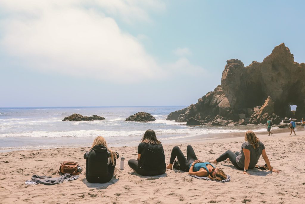
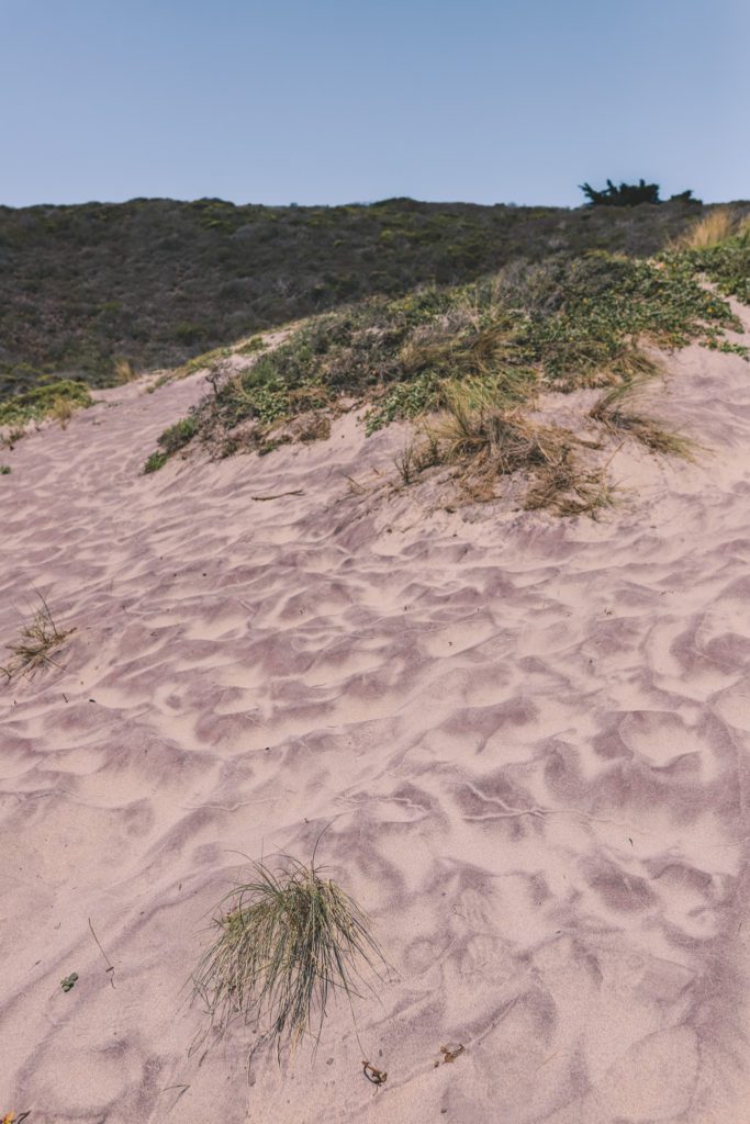
Pfeiffer Beach is also known for its purple sand dunes, calm lagoon, tide pools, and rock formations.
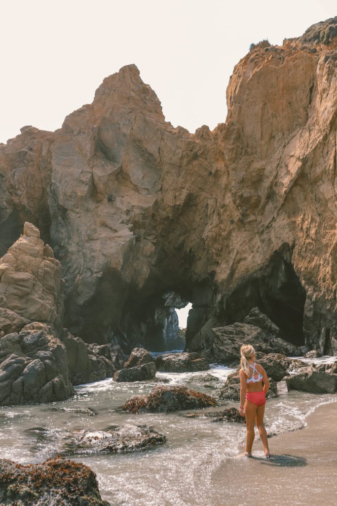
The most popular rock formation is the famed Keyhole Arch which is often photographed at sunset with rays of sunlight streaming through the arch.
It’s still mesmerizing to see during the day as the waves crash through the keyhole-shaped opening.
7. Big Sur Village
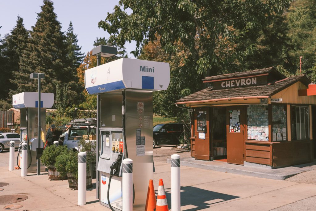
Big Sur Village is the best place to stop and get gas (at the cutest gas station ever), grab a bite to eat, or book accommodations while on your Big Sur road trip.
Nepenthe Restaurant and Café Kevah are the best places to eat in Big Sur Village.
They are both located in the same space with the same million-dollar views. Café Kevah is just the more casual and budget-friendly option.
The restaurant is open for lunch and dinner while the cafe is open for breakfast and lunch.
The food is still a little pricey, even at the cafe, but it’s worth it for the views alone.
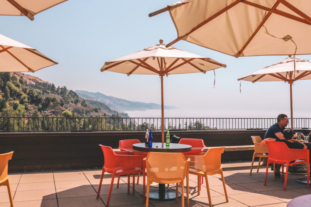
We opted for Café Kevah on the outdoor terrace just below Nepenthe Restaurant. The food was pretty good, and the views over the Pacific Ocean and the Santa Lucia Mountains were unmatched.
This mountainside perch is considered one of the most scenic restaurants in California.
You’ll enjoy your meal on the outdoor patio in the crisp fresh air while overlooking the hazy ocean and endless folds of coastal mountains.
If you come earlier in the day, the blanket of low morning fog will make you feel like you’re dining above the clouds.
The lunch menu includes salads and sandwiches. If you come for breakfast, be sure to order the Breakfast Burrito, it was phenomenal.
After your meal, stop in at The Phoenix Shop located below the cafe. You’ll find a treasure trove of handmade goods created by local artists.
And if you’re looking for a place to stay in Big Sur, Alila Ventana offers glamping in the middle of a redwood forest for an unforgettable experience.
If glamping isn’t your thing, they also have luxury suites and a spa.
For a unique experience, Treebones Resort is located a little further south down the coast where you can spend the night in a yurt or even a human nest or twig hut!
8. McWay Falls
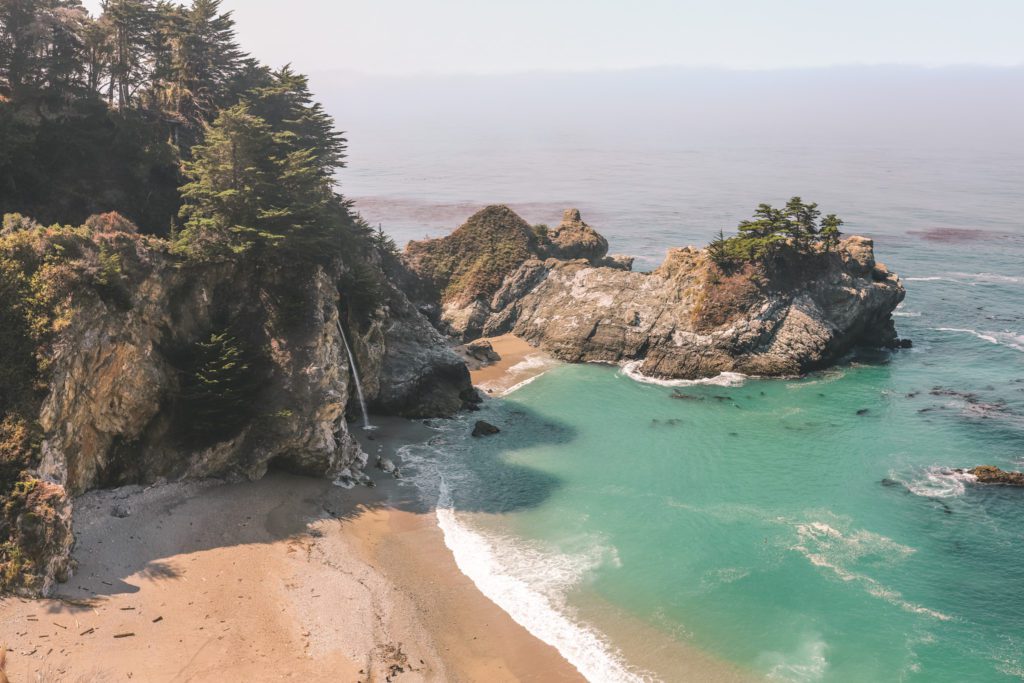
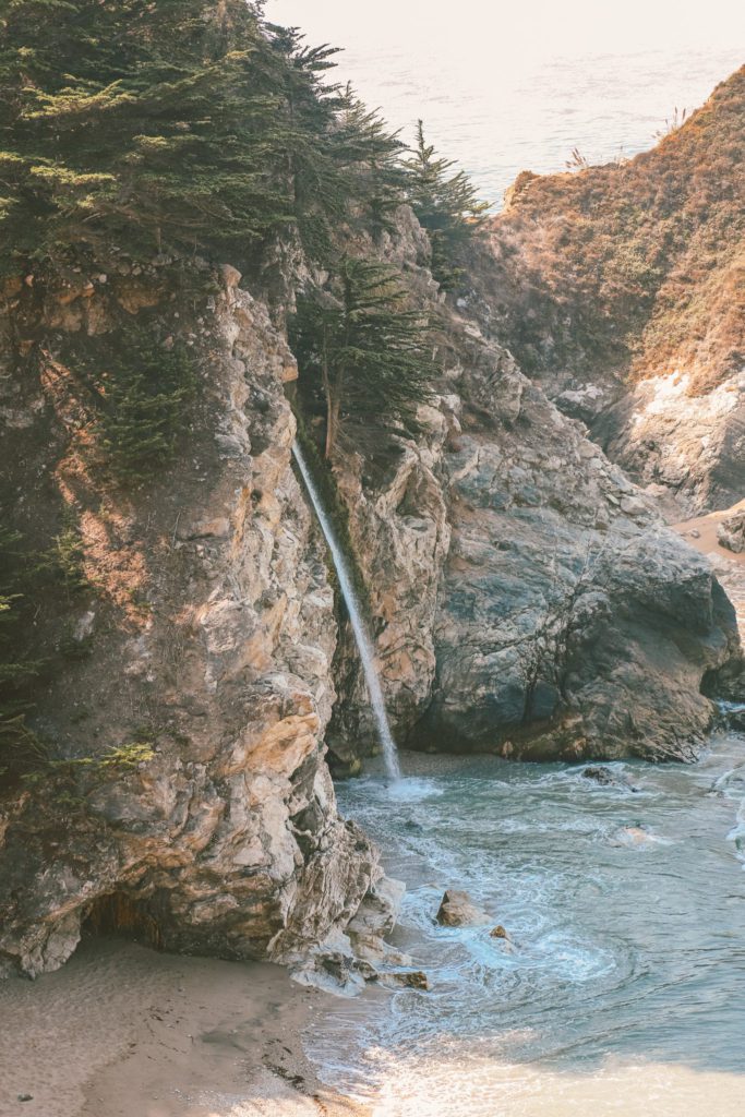
If Bixby Bridge is the most iconic man-made feature along the Big Sur coast, then McWay Falls is the most iconic natural feature.
This famed waterfall is absolutely breathtaking and one of the best stops on a road trip from San Francisco to Big Sur.
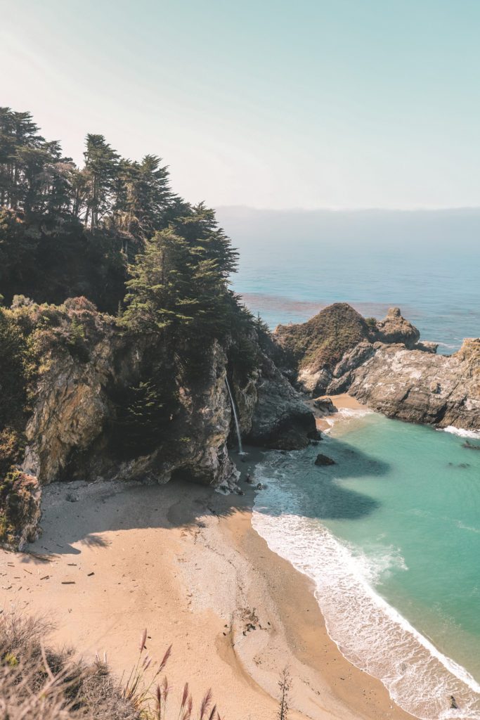
The 80-foot waterfall plunges into the jade-green ocean below as the waves calmly lap on the shores of the idyllic cove.
The waterfall is located within Julia Pfeiffer Burns State Park.
There is a $10 entrance fee per vehicle. Keep in mind that if you visited Point Lobos, Pfeiffer Beach, or any other state park earlier in the day then you can use the same receipt to get into this park.
The lot has a decent amount of parking spots. However, it does fill up quickly during peak season so you may have to wait for a spot to open up.
There are also pit toilets located in the parking lot. You won’t find many restrooms along the coast, so be sure to take advantage of these ones!
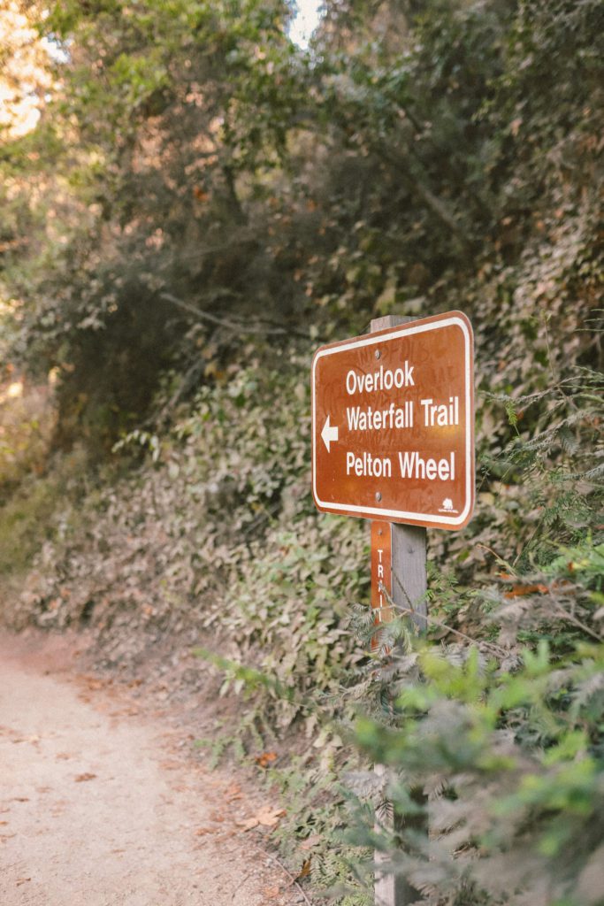
The trail to McWay Falls starts at the parking lot and is a short and easy 0.5-mile roundtrip walk.
Just look for the signs for the Overlook Waterfall Trail.
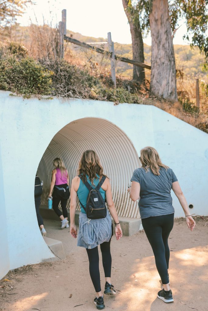
The beginning of the trail crosses a bridge over McWay Creek and then leads through a tunnel under the highway before reaching the cove.
The trail then follows along the north end of McWay Cove to a viewpoint overlooking the beach and waterfall.
The beach was actually created only 40 years ago as the result of a landslide in 1983.
There is no beach access and it is important that you only stay on the marked trail.
The trail is actually closed indefinitely at the halfway point due to the hazardous and extremely unstable cliffs. Trespassing into closed areas can result in a citation or arrest.
But you still get a great view of the waterfall from the portion of the trail that is open.
There are several other beautiful hiking trails in Julia Pfeiffer Burns State Park if you have extra time.
[convertkit form=3250084]
A few more recommended stops on a Big Sur road trip
If you are planning to drive the Big Sur coast as a day trip from Carmel, then McWay Falls is the furthest south that I would recommend going before turning back.
However, if you would like to continue all the way to San Simeon, then here are a few more points of interest:
- Limekiln State Park: Take the 1.4-mile Limekiln Creek Falls Trail through a redwood forest and along the creek until you reach a waterfall. The trail was closed due to forest fire damage, check the state park website for updated information.
- Salmon Creek Falls: A short but rocky 0.3-mile trail takes you to the base of a 120-foot waterfall.
- Point Piedras Blancas: Home to a lighthouse and a colony of 15,000 elephant seals.
- Hearst Castle: This historic estate was built in 1919. Visitors can tour the palatial 68,500-square-foot mansion, as well as the 127-acre gardens and the world-famous Neptune swimming pool.
If you are continuing further north along the coast, these guides might be helpful:
I hope this guide helps you discover the best stops while on a Big Sur road trip!




[…] This coastal road gives you a taste of the Big Sur coast a little further south. If you are planning to make that drive, then you’re not going to want to miss these Prettiest Stops on a Big Sur Road Trip. […]